The Comparison at a Glance
Factor | Photogrammetry | LiDAR |
|---|---|---|
How it captures data | Overlapping RGB photos, reconstructed via structure-from-motion processing | Active laser pulses, measured directly as a 3D point cloud |
Accuracy on open, textured ground | Strong, down to around 1cm horizontal | Strong, comparable vertical accuracy, often the tighter figure of the two |
Accuracy under vegetation or canopy | Weak, the camera can't see through foliage to the ground beneath | Strong, some pulses reach the ground through gaps and return a bare-earth model |
Accuracy on featureless surfaces | Weak, struggles on water, snow, ice or uniform concrete with no visual texture | Strong, doesn't depend on surface texture to register a return |
Output | Orthomosaic, textured 3D mesh, DSM/DEM | Point cloud, bare-earth DTM, orthomosaic and mesh too if the payload carries an RGB camera |
Processing | Slower, heavy image-matching and dense cloud generation | Faster, point cloud comes more directly from the raw returns |
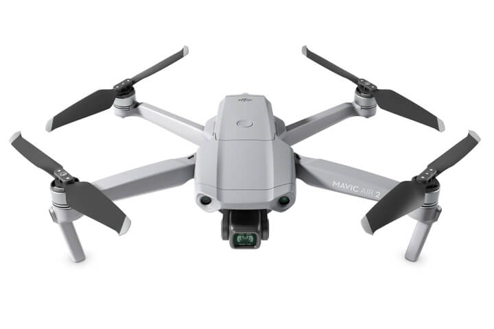
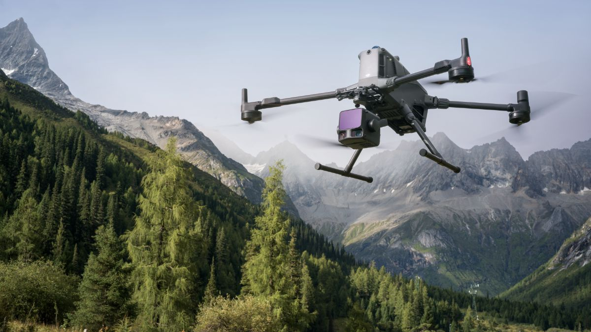
Hardware cost | Lower, a mapping-capable camera aircraft covers most jobs | Higher, a dedicated LiDAR payload plus a compatible modular airframe |
Best suited to | Open sites, construction progress, visual and textured deliverables | Vegetated or forested terrain, corridor and powerline mapping, ground elevation beneath canopy |
How Each One Actually Builds a Model
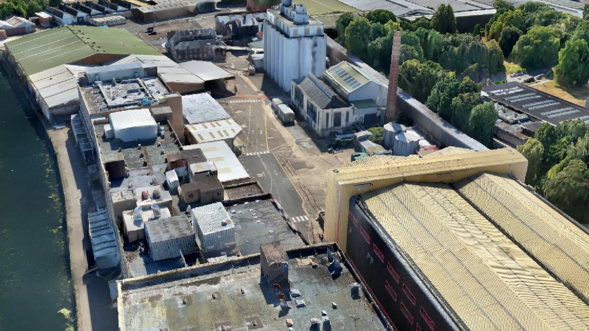
Photogrammetry needs enough overlap between consecutive photos, typically flown as a grid mission, for structure-from-motion software to triangulate matching points across multiple images and reconstruct the surface. It's an indirect process: the software infers 3D geometry from 2D images, so it needs visual texture and good, consistent light to find matching points reliably.
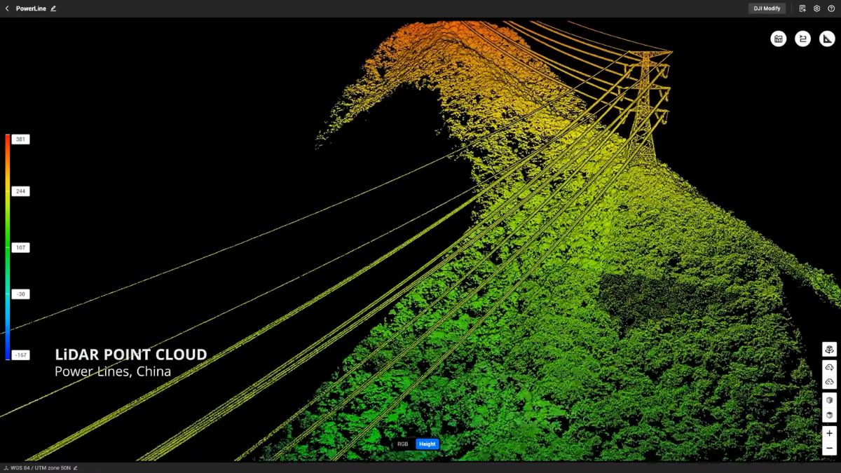
LiDAR skips that inference step. Each pulse's return time gives a direct distance measurement, and enough pulses build a dense point cloud without needing texture, consistent lighting or even daylight at all. A single pulse can also return multiple times, off a leaf, then a branch, then the ground beneath, which is the mechanism that lets LiDAR see through gaps in vegetation that a camera simply can't.
Vegetation Is the Clearest Dividing Line
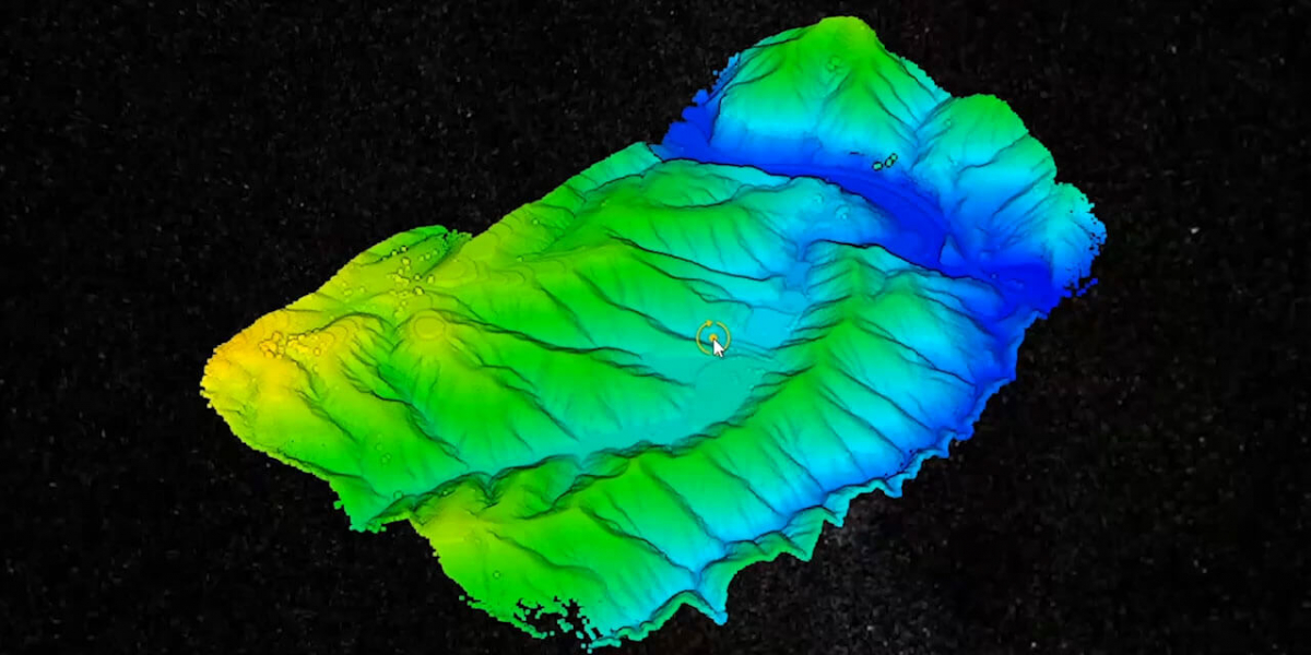
A camera can only capture what it can see, so any ground hidden under tree canopy, dense scrub or overgrown vegetation is invisible to photogrammetry no matter how much overlap the mission flies. LiDAR's multiple returns solve this directly: even where most of a pulse reflects off foliage, enough pulses find gaps through to the ground to build a usable bare-earth model underneath.
This is the single biggest reason a project chooses LiDAR over photogrammetry outright, rather than on cost or convenience. Uncleared land, forestry surveys, drainage and topographic work under tree cover, and any site where the true ground level matters and can't be cleared first, all favour LiDAR for this reason alone.
Featureless Surfaces Are the Other Weak Point for Cameras
Water, snow, ice and large areas of uniform concrete or tarmac give a camera nothing to match between overlapping photos, since structure-from-motion depends on finding the same visual feature in multiple frames. LiDAR doesn't have this problem, a laser return doesn't need surface texture to register, so it captures usable data on surfaces photogrammetry struggles with or can't process at all.
Processing Speed and What Comes Out the Other End
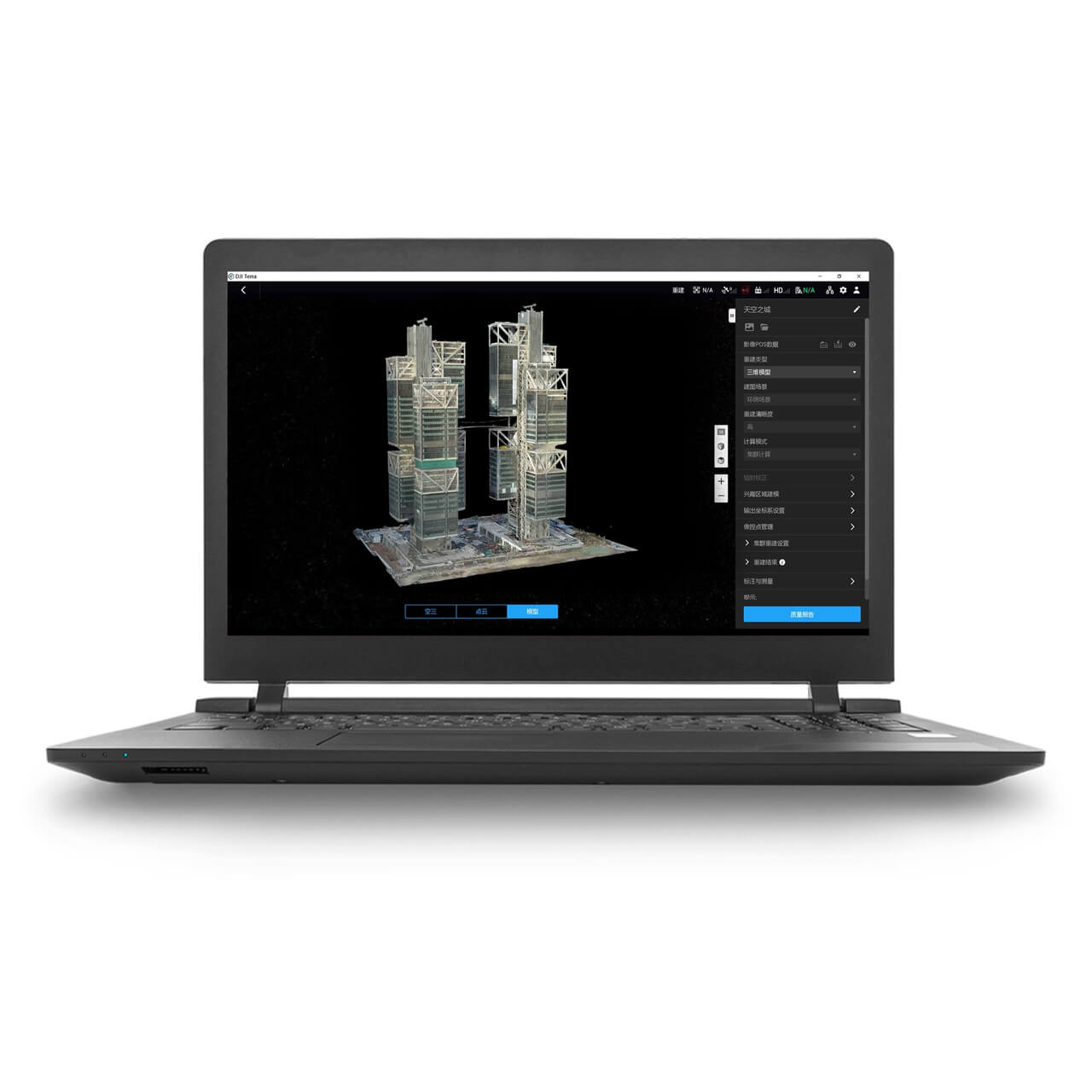
Photogrammetry's structure-from-motion step, aligning hundreds or thousands of overlapping photos and generating a dense point cloud from them, is processing-heavy and slower than LiDAR's more direct path from raw pulse returns to point cloud. LiDAR data is generally quicker to turn into a usable point cloud or DTM, though both still need software like DJI Terra to produce a finished orthomosaic, mesh or elevation model.
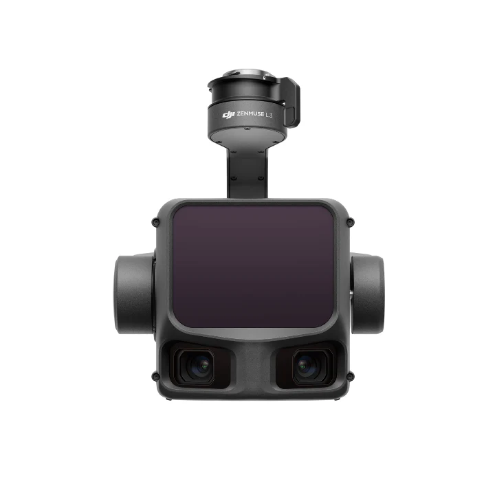
Photogrammetry's output includes full colour and texture by default, since it's built from photos, which makes it the stronger choice for a photorealistic 3D model or a true-colour orthomosaic. A LiDAR point cloud is monochromatic on its own; payloads like the Zenmuse L2 and L3 carry their own RGB camera alongside the laser scanner specifically to colourise the point cloud and produce an orthomosaic from the same flight, rather than needing a second photogrammetry pass.
Choosing Between Photogrammetry and LiDAR
Open sites with clear ground, construction progress monitoring, and any job where a photorealistic textured model or true-colour orthomosaic is the deliverable, suit photogrammetry and its lower hardware cost. Vegetated or forested terrain, corridor and powerline surveys needing ground elevation beneath tree cover, and jobs where the site genuinely can't be captured accurately by camera alone, need LiDAR regardless of the extra cost.
A payload like the Zenmuse L2 or L3 that carries both a laser scanner and an RGB camera removes some of the trade-off, delivering a colourised point cloud and an orthomosaic from the same flight, worth weighing against the cost of two separate systems for sites that genuinely need both outputs.
 Free Gifts Included
 Free Gifts Included
Common Questions
Not always, on open, well-textured ground both reach comparable centimetre-level accuracy. LiDAR's advantage is consistency under vegetation and on featureless surfaces, not a universally higher accuracy ceiling.
No, a camera only captures what's visible from the air. LiDAR's ability to return through small gaps in canopy is what lets it build a ground model photogrammetry can't.
The sensor itself is a more complex active system, and current LiDAR payloads like the Zenmuse L2 and L3 are sold separately from a modular airframe rather than built into an all-in-one aircraft the way a photogrammetry-capable camera aircraft is.
Not from the laser scanner alone, a raw LiDAR point cloud is monochromatic. Payloads like the Zenmuse L2 and L3 carry their own RGB camera specifically to colourise the point cloud and produce an orthomosaic from the same flight.
LiDAR generally, since its point cloud comes more directly from the raw laser returns. Photogrammetry's structure-from-motion step, matching and aligning large numbers of overlapping photos, is more processing-intensive.