The Comparison at a Glance
Factor | NTRIP Network RTK | Physical RTK Base Station |
|---|---|---|
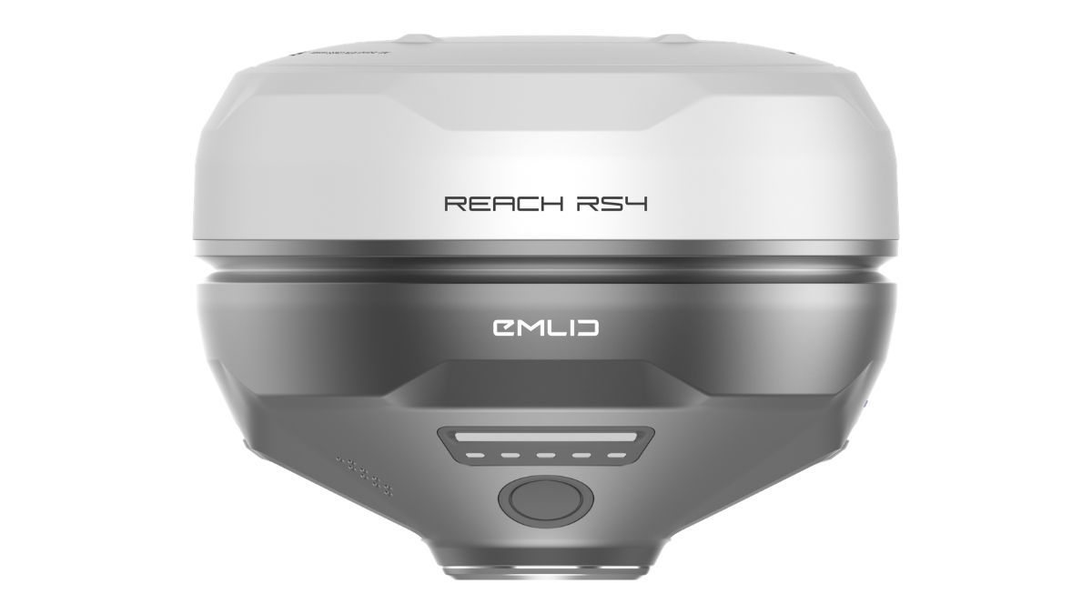
Cost model | Subscription, from £180.00 for 30 days or £1,080.00 a year unlimited | One-time hardware cost, from £1,369.00 (DJI D-RTK 3) to £3,599.00 (Emlid Reach RS4) |
Connectivity needed | Continuous internet on both the correction network and the rover | None for a radio-linked base (UHF/LoRa); internet only if broadcasting your own base over a Local NTRIP connection |
Setup on site | None, connect to a mount point and go | Transport, position and calibrate the base before each job, unless it's left permanently installed |
Accuracy over distance | Consistent across the network's coverage area via Virtual Reference Station (VRS) correction | Degrades with baseline distance from the base, at a stated ppm rate per kilometre |
Site dependency | Needs reliable mobile signal at the site | Needs an open site for the base's own satellite tracking, plus radio line of sight for a UHF/LoRa link |
Multi-user support | Unlimited users on the same network subscription, each connecting independently | One base broadcasts to multiple rovers simultaneously, radio range and power permitting |
Best suited to | Sites with reliable signal, teams covering many different locations, occasional or one-off jobs | Remote sites with poor mobile coverage, repeat visits to the same site, or work needing a self-contained correction source |
What NTRIP Actually Is
NTRIP, Networked Transport of RTCM via Internet Protocol, is a delivery mechanism, not a correction method in itself. It streams RTCM correction data from a network's server (a caster) to a rover over an internet connection, identified by a specific data feed called a mount point. The correction technique behind that stream is a separate question from the protocol carrying it.
Most UK and European network RTK services use Virtual Reference Station (VRS) technology rather than broadcasting from one fixed point. A VRS network computes a synthetic base position close to the rover's actual location from a grid of real reference stations, rather than correcting against whichever physical station happens to be nearest. That keeps accuracy consistent as you move across a site or between sites, without the baseline-distance penalty a single physical base carries.
What a Physical Base Station Actually Is
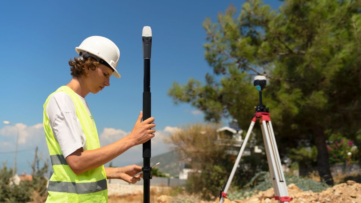
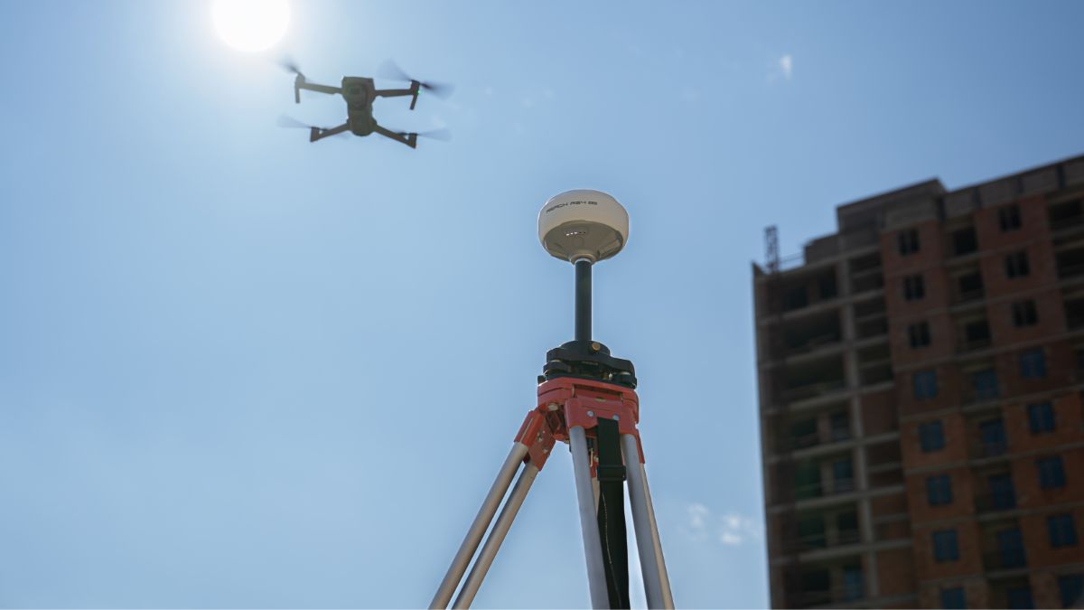
A physical base is a GNSS receiver positioned at a known or surveyed point, left running for the length of the job. It broadcasts corrections directly to a rover over UHF or LoRa radio, an entirely local loop that doesn't touch the internet, or it can be configured as its own Local NTRIP source if a radio link isn't practical.
Setup means transporting the unit, levelling it over a point, and calibrating its position, through network RTK calibration, PPP calibration or entry against a known survey point. That's a repeated cost in time on every job unless the base is left permanently installed at a fixed site, in which case the setup cost is paid once rather than on each visit.
Baseline Distance Is the Core Technical Difference
A single base station's accuracy degrades with distance from the rover, expressed as a ppm (parts per million) figure added to the base accuracy, the further the rover strays from the base, the larger that error term grows. A VRS network sidesteps this by computing a virtual base near the rover's own position from its grid of real stations, so accuracy doesn't meaningfully change whether the rover is 500m or 15km from the nearest physical reference station, provided it's within the network's coverage.
This is why a well-sited physical base with a short baseline can match or edge out network RTK on paper, and why that advantage narrows or disappears once the working distance grows. For most jobs under roughly 20km from a physical base, the practical difference in fix quality is small; for site conditions that put the rover consistently further out, network RTK's VRS correction holds its accuracy where a single base doesn't.
Matching the Correction Source to the Job
Teams moving between many different sites, flying occasional or one-off RTK jobs, or working somewhere with reliable mobile signal get more value from NTRIP and the lighter kit list that comes with it, nothing to transport, level or calibrate before each flight. Teams working the same remote site repeatedly, or operating in areas with known patchy signal, get more consistent value from owning a base outright and paying the setup cost once rather than on every visit.
Many operators run both rather than committing to one system permanently, a physical base for remote or poor-signal sites and an NTRIP subscription for everything else. For the DJI-specific version of this choice, hardware pairing and range figures included, see our DJI D-RTK 3 vs NTRIP comparison. For pairing an Emlid receiver with either method, see our Emlid NTRIP guide.

RTK Network Subscription - 1Y Unlimited
More than 2000 Base Stations · Accuracy of 1.5cm with EU Certification
 Free Gifts Included
 Free Gifts Included
Common Questions
Over a short baseline, yes, slightly, since the correction comes from closer to the rover. Over longer distances a VRS network's virtual base holds its accuracy where a single physical base's ppm error grows, so the practical answer depends on distance from the base.
Only where the network has coverage and the rover has a live internet connection. A remote site with no mobile signal can't use NTRIP regardless of network coverage on paper.
Yes, many operators do, using a physical base for remote or poor-signal sites and NTRIP for everything else rather than treating the choice as permanent.
A synthetic base position computed by a network RTK service close to the rover's actual location, built from a grid of real reference stations rather than one fixed point, keeping accuracy consistent across the network's coverage area.
It can be, once enough jobs have used it to offset the hardware cost against what an equivalent subscription period would have cost. How quickly that happens depends entirely on how often RTK jobs come up.