Why the Matrice 400 Is the Only Airframe for the L3
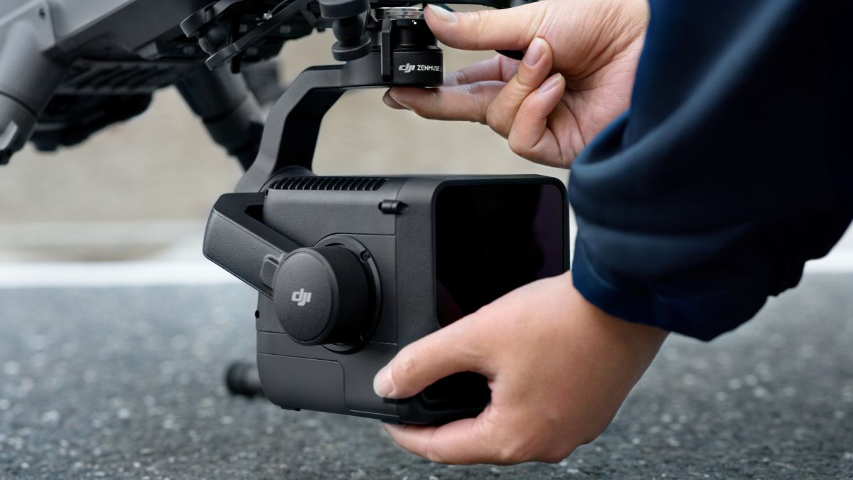
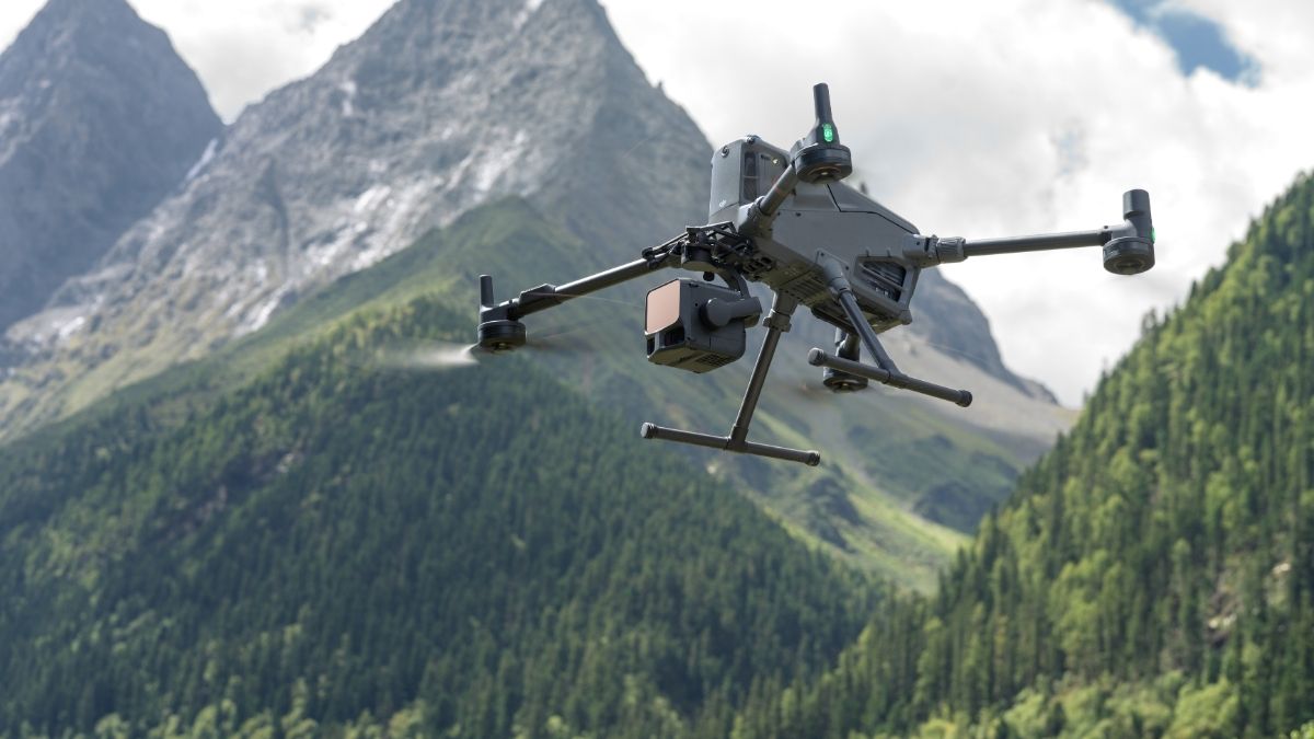
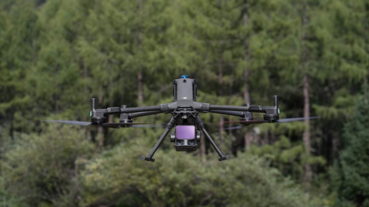
The Matrice 400 is a modular platform with no payload included as standard, built to carry up to 6kg across DJI's current Zenmuse range, LiDAR, thermal, zoom and full-frame cameras among them. DJI lists the Zenmuse L3 as compatible with the Matrice 400 exclusively, not the Matrice 350 RTK or Matrice 300 RTK, both of which carry the lower-cost Zenmuse L2 instead. Our DJI Zenmuse L3 vs Zenmuse L2 guide covers that payload comparison in full detail; this guide treats the M400-plus-L3 combination as the complete platform it is rather than one half of a comparison.
Full Specification Reference
Matrice 400 airframe
Spec | Figure |
|---|---|
Aircraft weight (no batteries) | 5.02kg |
Max takeoff weight | 15.8kg |
Payload capacity | 6kg total (third connector alone rated up to 6kg) |
Max flight time | 59 min, published specifically for an H30T payload configuration; DJI doesn't publish a separate figure for the L3, and actual endurance will differ given the L3's own 1.60kg weight |
RTK accuracy | 1cm + 1ppm horizontal, 1.5cm + 1ppm vertical, heading better than 2° |
Transmission | O4 Enterprise Enhanced, 40km FCC / 20km CE |
Obstacle sensing | Omnidirectional binocular vision, horizontal rotating LiDAR, upper LiDAR, six-direction mmWave radar |
IP rating | IP55 |
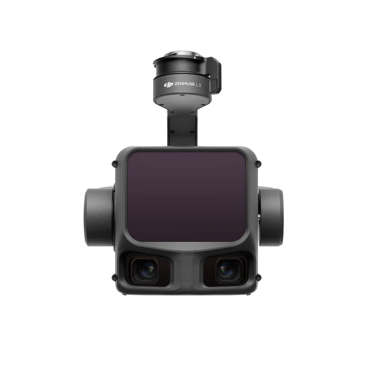
Zenmuse L3 payload
Spec | Figure |
|---|---|
Weight | 1.60kg (without gimbal connector) |
Detection range | 700m @350kHz/10% reflectivity, 950m @100kHz/10% reflectivity, up to 2000m at 80% reflectivity |
Point cloud accuracy | 3cm vertical / 4cm horizontal @120m; 5cm vertical / 7.5cm horizontal @300m (RMSE) |
Returns | 4, 8 or 16, depending on pulse frequency |
Scanning modes | Linear (80° x 3°), Star-Shaped (80° x 80°), Non-Repetitive (80° x 80°) |
RGB camera | Dual 100MP 4/3 CMOS sensors, 28mm equivalent, 107° combined horizontal field of view |
Power draw | 64W typical, 100W max |
IP rating | IP54 |
What the L3 Captures That a Camera-Only Survey Can't
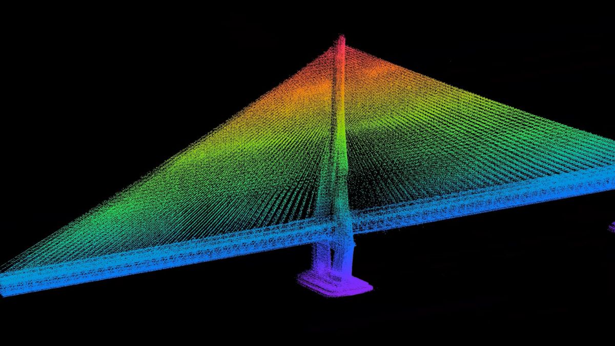
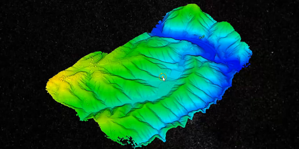
A pulse that passes through a gap in foliage returns multiple times, up to 16 per pulse at the L3's highest pulse frequency, each one captured and classified separately, which is how a LiDAR survey sees ground that a photogrammetry-only flight simply can't resolve. The 950m detection range lets the aircraft stand off further from a corridor, powerline or structure than a camera-based survey would need to, reducing how many passes a long linear site takes. The dual 100MP camera means the same flight returns high-resolution imagery alongside the point cloud, useful where a deliverable needs texture mapping or asset photography without a second sortie.
Matching the Platform to the Job
Long-range corridor, powerline and pipeline work benefits most directly from the L3's extended standoff distance, fewer flight passes for the same linear coverage. Vegetation-heavy or partially obscured sites, where the ground itself needs to be modelled rather than just what's visible from above, are the other clear case, the L3's multiple-return capability resolving ground points a camera never captures. A site needing both a LiDAR deliverable and high-resolution imagery from the same flight, rather than two separate sorties, is well served by the L3's paired camera; the M400's remaining payload margin beyond the L3's 1.60kg also leaves room to fly a second payload, a spotlight or separate camera, on the same airframe for other jobs.
Processing the Captured Data
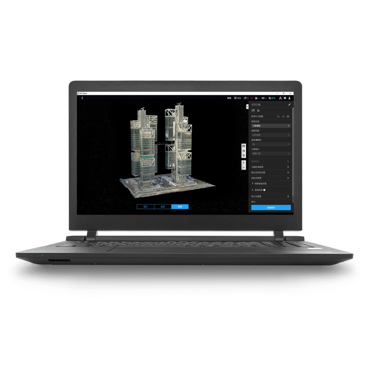
DJI Terra imports the L3's raw laser returns directly into a dedicated LiDAR project, rather than the image-matching pipeline a photogrammetry flight uses, carrying the payload's paired RGB imagery alongside for genuine colour.
 Free Gifts Included
DJI Matrice 400 Worry-Free Plus Combo
Extended Flight Time, Dust & Water Resistant · Upgraded Payload Capacity and Multi-Payload Support
 Free Gifts Included
Common Questions
No, DJI lists it as compatible with the Matrice 400 only. The Zenmuse L2 covers the Matrice 350 RTK and Matrice 300 RTK instead.
No, it explicitly excludes a flight battery and charging station. These need adding separately, or the Worry-Free Plus Combo, which includes one of each, is the more complete starting point.
DJI's published 59-minute figure is specific to an H30T payload configuration. A figure specific to the L3 isn't separately published, and actual endurance will vary given the L3's own 1.60kg weight.
At least two for a productive working day, based on DSS's own guidance, with four alongside a BS100 station recommended for extended operations.