The Comparison at a Glance
Factor | Standalone GNSS | RTK |
|---|---|---|
Typical accuracy | A few metres, commonly 5 to 10 metres off true position | Centimetre-level, usually quoted as a fixed figure plus a distance-based term (e.g. 7mm + 1ppm) |
What's measured | The satellite code, a repeating signal roughly 300m in wavelength | The satellite's carrier wave itself, around 20cm in wavelength |
Second receiver needed | No | Yes, a base station at a known position, or a network service standing in for one |
Correction timing | None applied | Real time, continuously, as the rover moves |
Typical use | General navigation, consumer positioning | Land survey, construction stakeout, precision agriculture, drone mapping, anywhere a verified position matters |
Why Standalone GNSS Only Gets You a Few Metres
A standalone receiver works out its position from the code, a repeating digital pattern each satellite broadcasts, by timing how long it takes to arrive. That code has a wavelength of roughly 300 metres, so a small timing error translates into a metre-scale position error before anything else is factored in.
Several further error sources stack on top: small inaccuracies in the satellite's own broadcast clock and orbit, and signal delay as it passes through the ionosphere and troposphere. Combined, these commonly leave an uncorrected GNSS position 5 to 10 metres off true position, close enough for turn-by-turn navigation, not close enough for survey or mapping work.
What RTK Actually Corrects
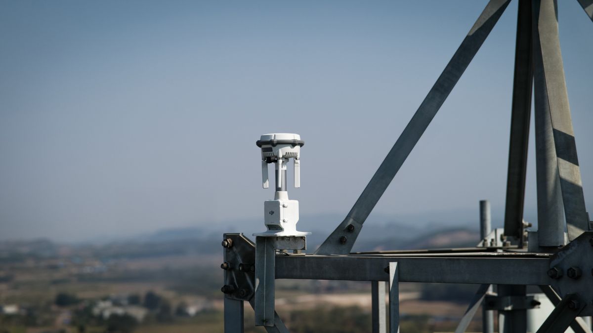
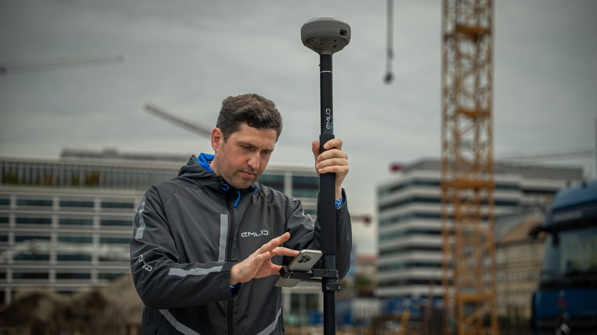
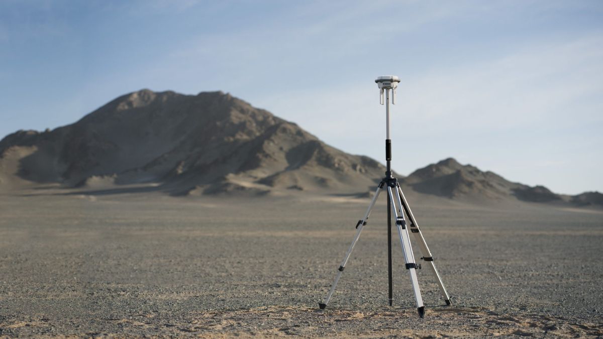
RTK measures the radio carrier wave itself rather than the code riding on it, a wavelength around 1,500 times shorter, which is where the added precision comes from. A base station at a surveyed or known position and a rover both track the same satellites at the same time, and comparing what each one measures cancels out the errors they share, since both are looking through nearly the same slice of sky.
What's left after that comparison is enough information to resolve a value called the integer ambiguity, an unknown whole number of carrier-wave cycles between the satellite and the receiver. Once that's resolved, the position is accurate to centimetres rather than metres. Our RTK Explained guide covers the carrier-phase and integer-ambiguity mechanics in full, including what the "7mm + 1ppm" figure on a receiver's own spec sheet actually means.
FIX, FLOAT and SINGLE
Any RTK-capable receiver reports one of three states while it works. SINGLE means no correction is being applied at all, several metres of error, the same as standalone GNSS. FLOAT means a correction is being used but the integer ambiguity isn't resolved yet, typically decimetre to sub-metre accuracy. FIX means the ambiguity is resolved and the position is accurate to centimetres, the state that actually matters for recording a final position on a survey, a stakeout point, or a drone's geotagged photo.
What This Means in Practice
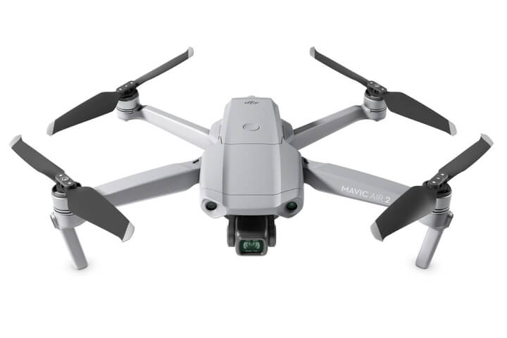
The accuracy figure on any RTK product's spec sheet, whether it's a survey receiver or a drone's flight controller, comes down to the same underlying mechanism: carrier-phase measurement, a shared correction source, and a resolved integer ambiguity. What changes between products and manufacturers is how that correction reaches the rover (a local radio link or a network subscription), how reliably FIX is reached and held, and what the receiver or aircraft does with the result once it has it.

RTK Network Subscription - 1Y Unlimited
More than 7,500 base stations · Accuracy of 1.5cm with EU Certification
 Free Gifts Included
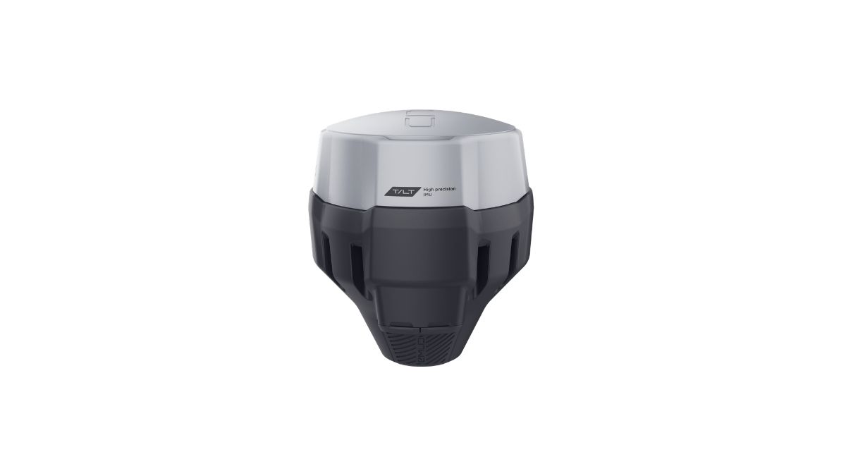 Free Gifts Included
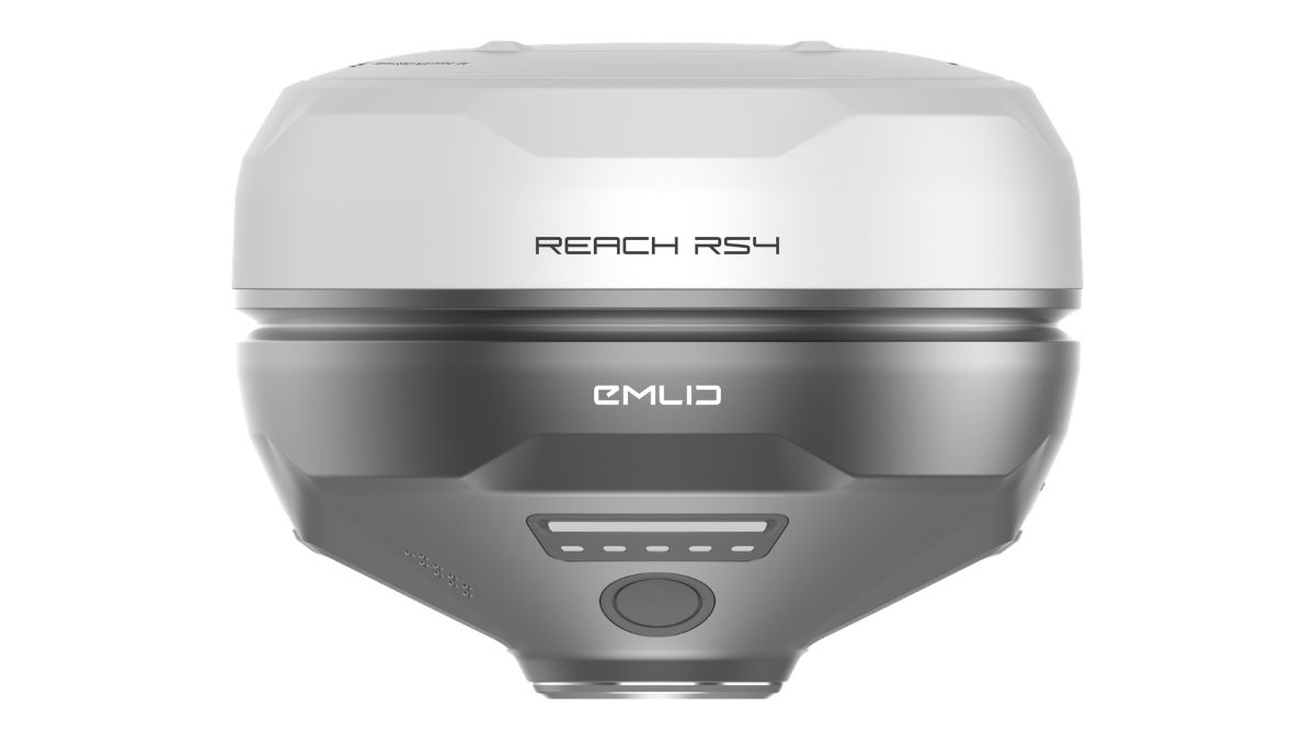 Free Gifts Included
Common Questions
Real-Time Kinematic, a satellite positioning method that corrects a GNSS fix to centimetre accuracy using a second, fixed-position receiver for comparison.
Typically centimetre-level once a FIX is achieved, commonly quoted as a fixed figure plus a distance-based term, for example 7mm + 1ppm on a survey-grade receiver.
No, a network RTK subscription (NTRIP) delivers the same kind of correction over the internet from a network of reference stations, no physical base required, provided the site has reliable mobile signal.
No, GPS is one of the satellite constellations RTK uses as a data source. RTK is the correction technique applied on top of GNSS signals (GPS and others) to reach centimetre accuracy.
Both use the same underlying carrier-phase method; RTK applies the correction live in the field, PPK logs raw data and computes the correction afterward in software. Our RTK vs PPK guide covers the practical trade-offs.