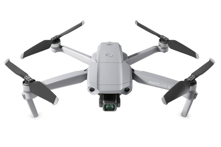
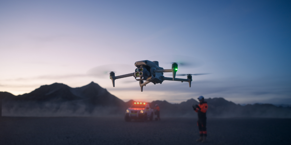
The Comparison at a Glance
Factor | Standard Drone GNSS | RTK Drone |
|---|---|---|
Typical accuracy | Roughly 1 to 3 metres | 1cm + 1ppm horizontal, 1.5cm + 1ppm vertical (typical DJI Enterprise figure) |
Position correction | None, raw satellite fix only | Live correction from a base station or network RTK service |
Ground control points | Usually still needed for a trustworthy survey-grade output | Reduces reliance on them; RTK-only workflows are viable for many mapping jobs |
How RTK reaches the aircraft | Not applicable | Built into the airframe (Matrice 4 Series, 350/400 RTK) or added as a module (Mavic 3 Enterprise range) |
Needs a correction source | No | Yes, a physical base station (radio link) or an NTRIP network subscription |
Best suited to | General flying, photography, video | Mapping, surveying, construction and inspection work needing accurately geotagged imagery |
What Actually Makes a Drone "RTK"
Every drone with GNSS onboard reports a position, but a standard consumer-grade chip in a drone typically holds accuracy around 1 to 3 metres, fine for keeping the aircraft where the pilot put it, not fine for recording where a specific photo was taken to survey-grade precision. An RTK drone's flight controller receives the same live carrier-phase corrections covered in our What Is RTK? guide, applied directly to the aircraft's own onboard position rather than to a separate handheld receiver on the ground.
That's the structural difference: the correction happens on the aircraft itself, in real time, so every photo it captures gets tagged with an RTK-corrected coordinate at the exact moment of capture rather than a rough GNSS estimate.
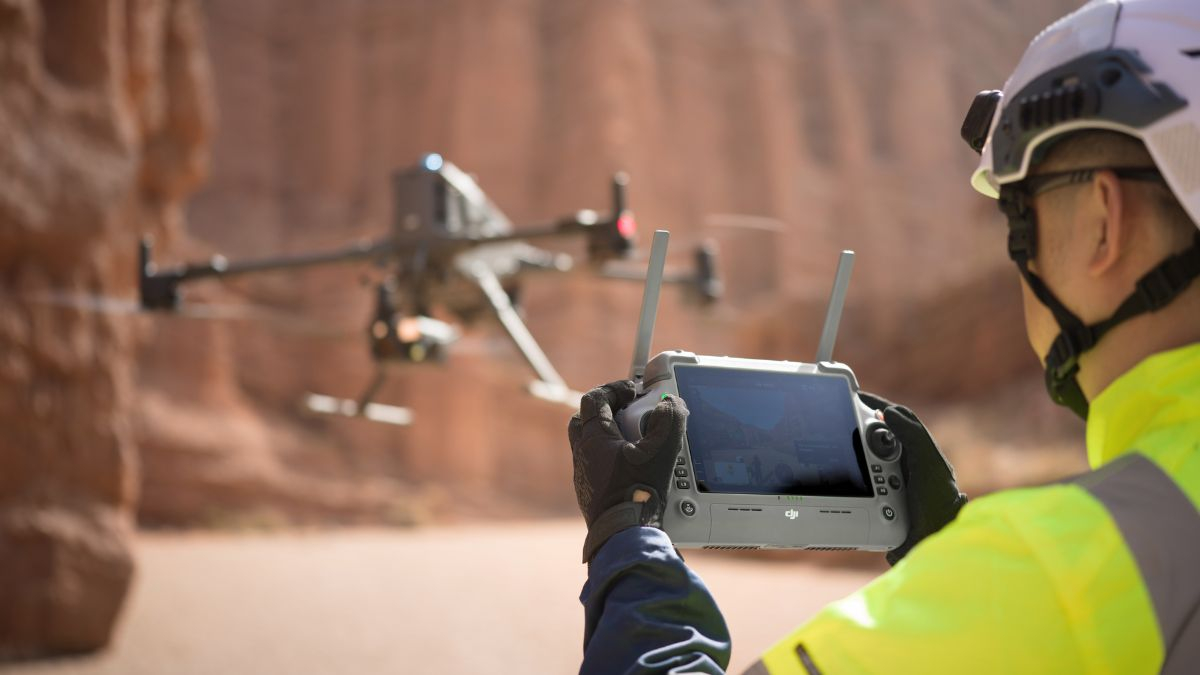
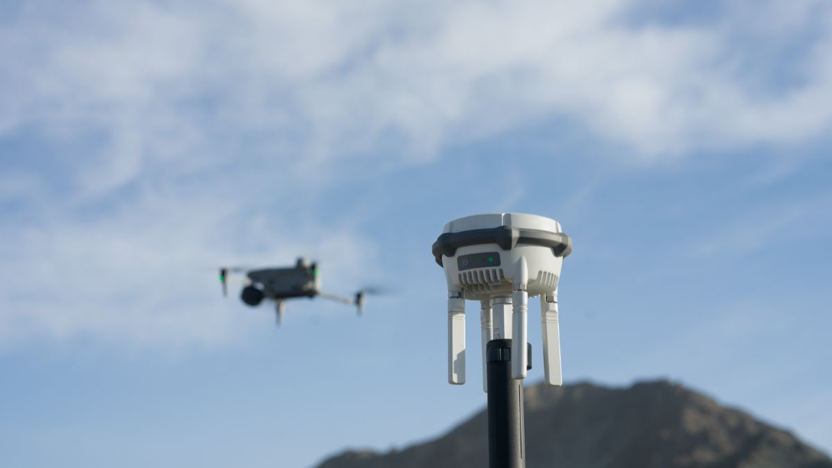
Built-In RTK vs a Bolt-On Module
DJI's current Enterprise range splits this two ways, confirmed directly on DJI's own spec pages. RTK comes built into the airframe as standard on the Matrice 4 Series (Matrice 4E, Matrice 4T), the Matrice 350 RTK, and the Matrice 400, no separate hardware needed to reach the accuracy figure. The Mavic 3 Enterprise range (Enterprise, Thermal, Multispectral) needs a separate RTK module fitted, a small USB-C add-on, before it reaches the same 1cm + 1ppm accuracy.
That split affects more than convenience. A built-in system is part of the aircraft permanently, always available without extra setup; a module is optional weight and cost only added when a specific job actually calls for RTK-grade positioning, and it comes with its own price, £570.00 for the Mavic 3 Thermal's module at the time of writing.
What RTK Actually Changes About the Captured Data
Every photo an RTK-enabled DJI aircraft captures is tagged with its own RTK-corrected position at the moment of capture, not the aircraft's standalone GNSS estimate. Processing software like DJI Terra starts from source positions that are already accurate to centimetres rather than metres, which is what reduces, though doesn't eliminate, how many ground control points a project needs to hit a trustworthy accuracy level.
RTK Doesn't Remove Ground Control Points Entirely
RTK alone can deliver centimetre-level accuracy without any ground control points for a genuine share of mapping jobs, but for survey-grade deliverables where the highest achievable accuracy matters, combining RTK with ground control points still gives a better result than RTK alone, a distinction worth stating plainly rather than overselling RTK as a full GCP replacement. Our Ground Control Points guide covers when GCPs still earn their place on an RTK-equipped flight, including lever-arm offset, timing latency and geoid conversion, none of which RTK on its own corrects for.
How the Correction Actually Reaches the Aircraft
An RTK drone still needs a correction source feeding it live data, the aircraft's own RTK receiver doesn't generate that correction on its own. That's either a physical base station broadcasting locally over radio, DJI's own D-RTK 3 being the current option, or a network RTK subscription delivering the same kind of correction over the internet via NTRIP. Our NTRIP vs RTK Base Station guide covers choosing between the two, and our D-RTK 3 setup guide covers configuring a physical base station specifically.

Choosing Between Built-In RTK and Adding a Module
A fleet regularly flying mapping, survey or inspection missions gets more consistent value from an aircraft with RTK built in, the Matrice 4E, 4T, 350 RTK or 400, since there's no separate module to fit, manage or risk losing. A team that only occasionally needs RTK-grade accuracy, or where the Mavic 3 Enterprise range's lighter, folding airframe matters more for portability and single-operator deployment, gets more value from adding the module only when a specific job calls for it.

RTK Network Subscription - 1Y Unlimited
More than 7,500 base stations · Accuracy of 1.5cm with EU Certification
 Free Gifts Included
 Free Gifts Included
 Free Gifts Included
Common Questions
A standard drone's GNSS holds roughly 1 to 3 metres of accuracy. An RTK drone's flight controller receives live carrier-phase corrections and reaches centimetre-level accuracy, geotagging each photo far more precisely as a result.
No. The Matrice 4 Series, Matrice 350 RTK and Matrice 400 have it built into the airframe. The Mavic 3 Enterprise range needs a separate RTK module fitted to reach the same accuracy.
For many jobs, yes, RTK alone reaches centimetre accuracy without GCPs. For survey-grade deliverables needing the highest achievable accuracy, combining RTK with ground control points still gives a better result than RTK alone.
No, a network RTK subscription (NTRIP) delivers the same correction over the internet, provided the site has reliable mobile signal. A physical base station like the D-RTK 3 is the alternative for sites without one.
Both use the same underlying carrier-phase method; RTK corrects the aircraft's position live during the flight, PPK logs raw data and computes the correction afterward in software. Our RTK vs PPK guide covers the practical trade-offs.