The Comparison at a Glance
Factor | RTK | PPK |
|---|---|---|
When correction happens | Live, during the flight | After the flight, in processing software |
Connectivity needed in flight | Continuous radio (D-RTK 3) or internet (NTRIP) link | None, the aircraft logs raw data independently |
Field confirmation | FIX status visible in DJI Pilot 2 during the flight | Not known until the log is processed afterward |
Base station data | Live correction stream during flight | RINEX log from a D-RTK 3, CORS station or third-party receiver, matched after landing |
Turnaround | Data usable immediately after landing | Added processing step before the data is usable |
Supported DJI Enterprise aircraft | Matrice 4 Series, Matrice 300/350 RTK, Mavic 3 Enterprise/Multispectral, Phantom 4 RTK | Same aircraft range, confirmed via DJI's own PPK workflow documentation |
Best suited to | Jobs needing same-day data and a live accuracy check on site | Remote sites with unreliable radio or mobile signal, or jobs where post-processing time isn't a constraint |
How PPK Actually Works
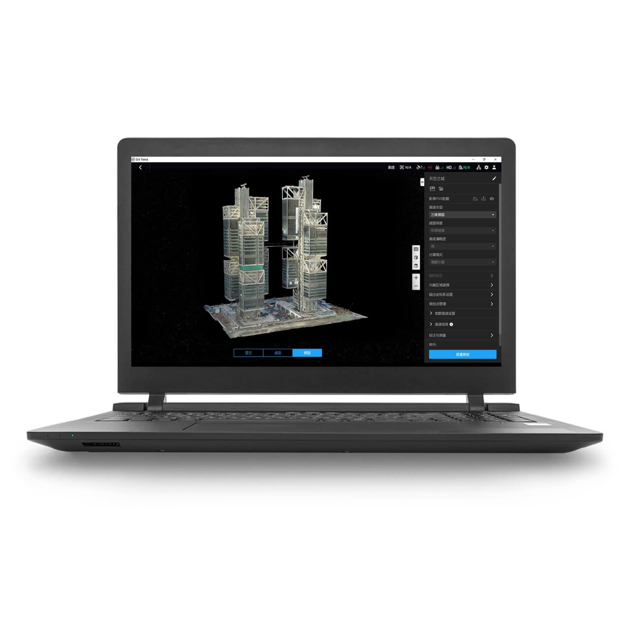
The aircraft logs four files during the flight: an .obs file (raw satellite observation data in RINEX format), a .nav file (satellite ephemeris data), a correction log from the base station in RTCM format, and an .mrk file recording the exact timestamp of every image exposure. After landing, DJI Terra (or third-party software like Emlid Studio) matches these against a base station's own RINEX log, either a D-RTK 3 set up locally, a national CORS network station, or another GNSS receiver, and computes the precise position for every image after the fact.
The Trade-off DJI's Own Marketing Doesn't Lead With
PPK avoids the communication dropouts that can degrade RTK accuracy in poor-signal areas, and it needs no live connection at all during the flight. What it doesn't offer is the live FIX status RTK gives in DJI Pilot 2, there's no way to know on site whether the logged data is actually good until it's been processed back at the office or in the van. A flight with a genuine GNSS problem still has to be re-flown, just discovered later than it would be with RTK, worth factoring in for a site that's expensive or difficult to revisit.
Base Station Data and Baseline Distance
PPK still needs a base station's logged data to correct against, it doesn't remove that dependency entirely, it just moves it out of the live flight. A D-RTK 3 set up on site gives full control over that data with no reliance on a third-party network. Using a national CORS network instead avoids transporting a base station at all, but accuracy degrades with distance from the reference station, DJI's own guidance keeps the baseline under roughly 20 miles (32km) for optimal results.
Matching Workflow to the Job
Remote sites with unreliable radio range or patchy mobile signal, where RTK's live link would be the weak point, suit PPK's independence from a continuous connection during flight. Jobs needing same-day data, or a live accuracy check before leaving site so a bad flight can be re-flown immediately rather than discovered later, suit RTK's real-time feedback. A minimum flight duration of 10 to 15 minutes is needed for PPK to gather enough GNSS data to process reliably, worth knowing before planning a very short mission around it.
 Free Gifts Included
Common Questions
Both can reach comparable centimetre-level accuracy under good conditions. PPK's advantage is consistency in areas where a live RTK link would be interrupted, not a fundamentally higher accuracy ceiling.
No, PPK gives no live confirmation the way RTK's FIX status does. A GNSS problem during the flight is only found once the log is processed, which can mean a return trip if the site's since been disturbed.
Yes, PPK moves the base station data out of the live flight rather than removing the need for it. A D-RTK 3 set up locally, or a CORS network station within roughly 20 miles, both work.
The Matrice 4 Series, Matrice 300/350 RTK, Mavic 3 Enterprise and Multispectral, per DJI's own PPK workflow documentation.
Yes, DJI recommends 10 to 15 minutes minimum so enough GNSS data is logged to process reliably.