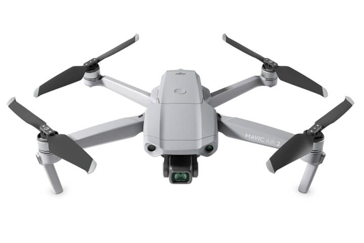
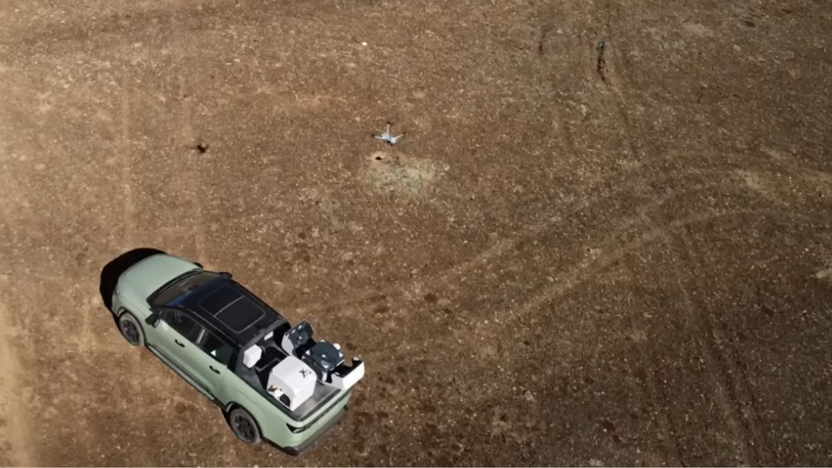
The Comparison at a Glance
Factor | DJI Terra | Pix4Dmapper |
|---|---|---|
Price | £1,600.00 (Standard, 1 Year, online) to £9,310.00 (Flagship + Modify, Permanent) | $3,990/year or $332.50/month, no perpetual licence published |
Licence model | Per-device, annual or one-time permanent tiers available | Subscription only, floating licence for one device at a time |
Hardware compatibility | Built specifically for DJI aircraft | Any drone or camera brand |
LiDAR processing | Yes, Zenmuse L1/L2/L3 point clouds | No, Pix4D's own product page describes Pix4Dmapper as photogrammetry only |
Photogrammetry | Yes, 2D orthomosaics, 3D mesh, Gaussian Splatting | Yes, 2D orthomosaics, 3D mesh, dense point clouds |
Multispectral / crop analysis | Yes, NDVI/NDRE on the Flagship tier | Not in Pix4Dmapper; Pix4D sells a separate product, Pix4Dfields, for this |
Offline activation | Yes, available on Standard and Permanent tiers | No, requires an active online subscription |
Cloud processing option | No, DJI Terra is desktop-only | Yes, Pix4Dcloud is a separate browser-based product from Pix4D |
DJI Terra Is Built Around One Hardware Ecosystem
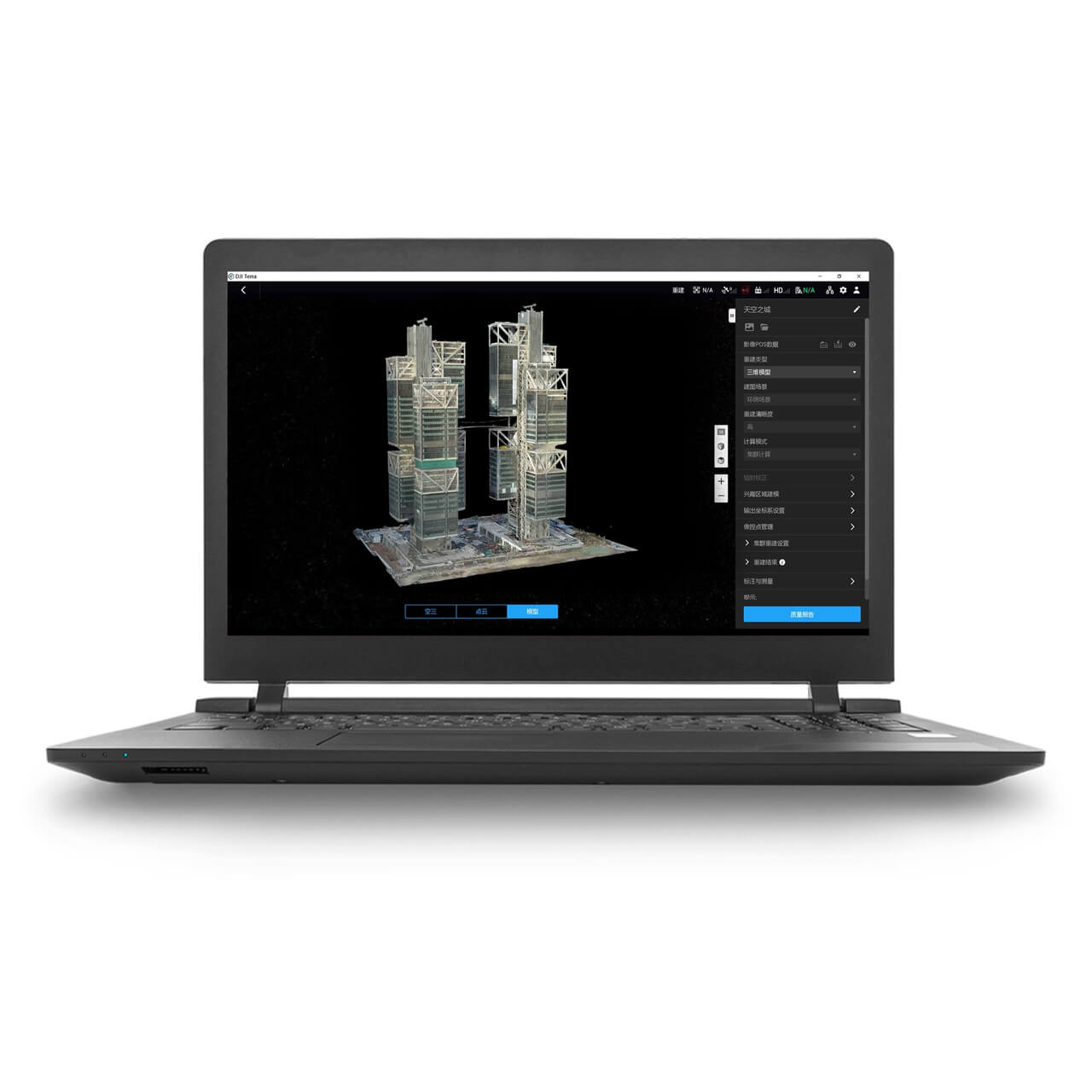
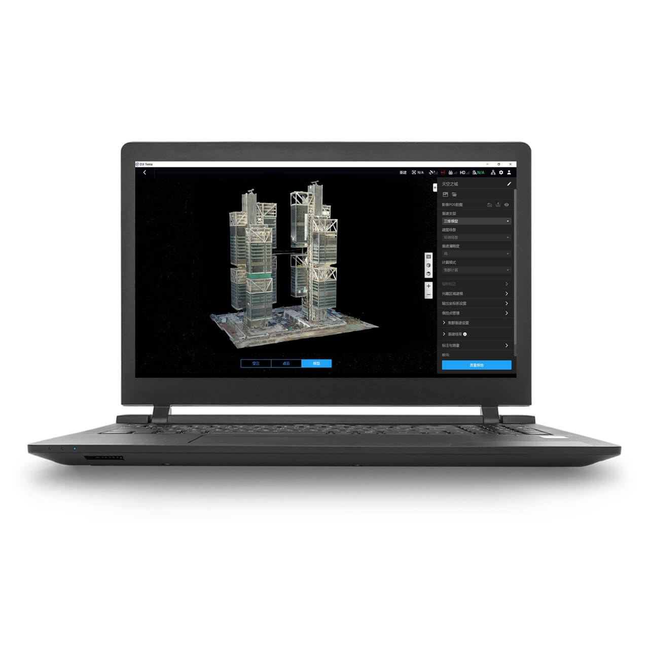
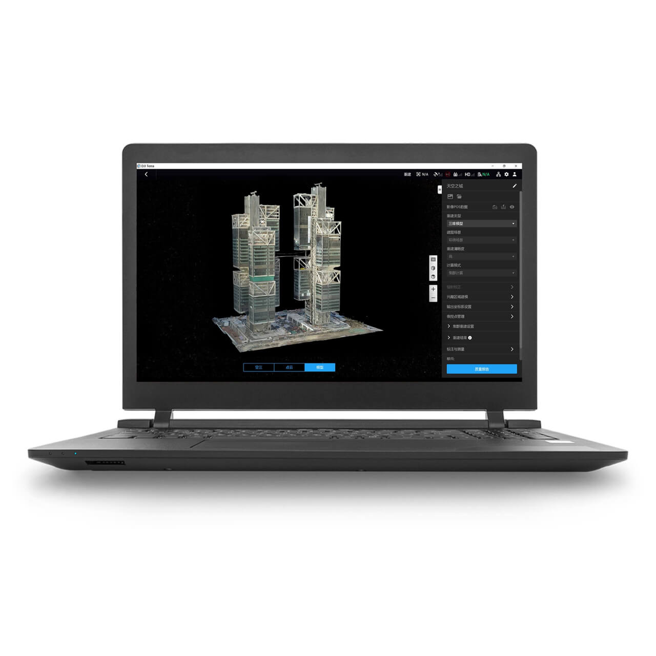
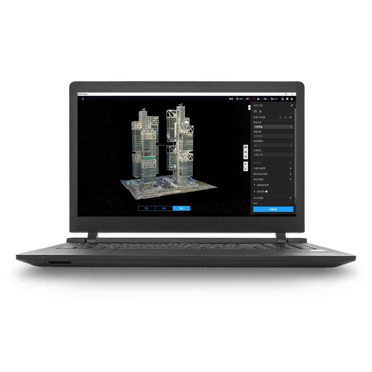
DJI Terra imports flight logs and RTK/PPK data directly from DJI aircraft with no conversion step, since it's built by the same company as the hardware capturing the data. That native pairing extends to DJI's LiDAR payloads specifically, the Zenmuse L1, L2 and L3 all process through DJI Terra without a separate tool.
The trade-off is that DJI Terra is DJI-only. A fleet with any non-DJI aircraft, or a camera not carried on a DJI airframe, needs a second piece of software regardless of how good DJI Terra is for the DJI half of the fleet.
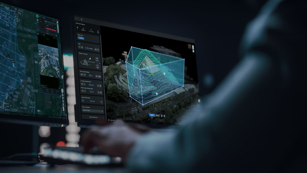
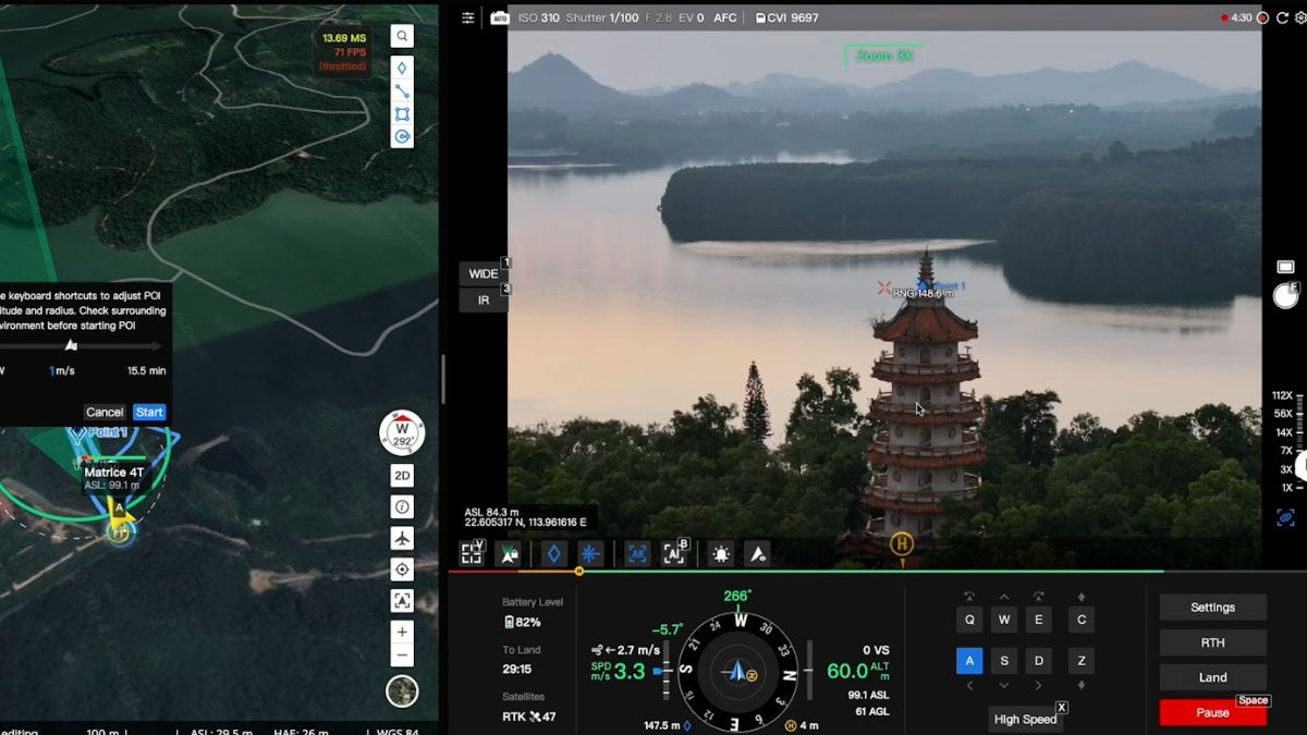
Pix4D Works Across Any Hardware
Pix4Dmapper takes images from any drone or camera, not a specific brand's ecosystem, so a business running a mixed fleet, or switching aircraft brands over time, isn't tied to one manufacturer's processing software. That flexibility is Pix4D's core pitch against a manufacturer-bundled tool like DJI Terra.
Pix4D also sells a wider software family beyond the desktop Pix4Dmapper product: Pix4Dcloud for browser-based processing, Pix4Dsurvey for point cloud to CAD workflows, and Pix4Dfields for agricultural crop analysis, each a separate product rather than one included in Pix4Dmapper's subscription.
LiDAR Is the Clearest Technical Gap
DJI Terra processes LiDAR point clouds from DJI's own Zenmuse payloads as standard, confirmed on DJI's own product listings for both the Standard and Flagship tiers. Pix4Dmapper's own pricing page describes it plainly as photogrammetry software with no LiDAR processing mentioned at all.
An operation running a Zenmuse L2 or L3 has no route through Pix4Dmapper for that data, it would need a different Pix4D product or a separate LiDAR-specific tool entirely. For LiDAR-heavy workflows on DJI hardware, that makes DJI Terra the more direct choice by default rather than one of two equal options
Choosing Between DJI Terra and Pix4D
A DJI-only fleet, particularly one running LiDAR payloads like the Zenmuse L2 or L3, is more directly served by DJI Terra: native data import, LiDAR processing included, and a permanent licence option if a recurring subscription isn't wanted. A mixed fleet, a non-DJI aircraft, or a workflow that specifically needs Pix4D's wider software family (Pix4Dsurvey, Pix4Dfields, Pix4Dcloud) is better served by Pix4D despite the DJI-specific convenience it gives up.
Drone Safe Store carries DJI Terra directly as an official DJI Enterprise partner; Pix4D isn't part of our current range, so a business already committed to Pix4D would source it directly from Pix4D rather than through us.
Common Questions
It's built specifically around DJI aircraft and payloads. A non-DJI drone's imagery isn't the intended workflow, Pix4D or another platform-agnostic tool suits a mixed fleet better.
No, Pix4D's own product page describes Pix4Dmapper as photogrammetry software with no LiDAR processing capability mentioned. DJI Terra processes that data directly.
Yes for DJI Terra, permanent licences run from £4,550.00 for Standard to £9,310.00 for the Flagship plus DJI Modify bundle. Pix4Dmapper's own pricing page shows subscription only, no perpetual licence published.
No, Pix4D isn't part of our current range. We carry DJI Terra directly as an official DJI Enterprise partner.
Both offer it as a distinct product rather than a core feature: DJI Terra's Flagship tier includes multispectral crop analysis, Pix4D sells this separately as Pix4Dfields rather than within Pix4Dmapper.