Turning RTK On
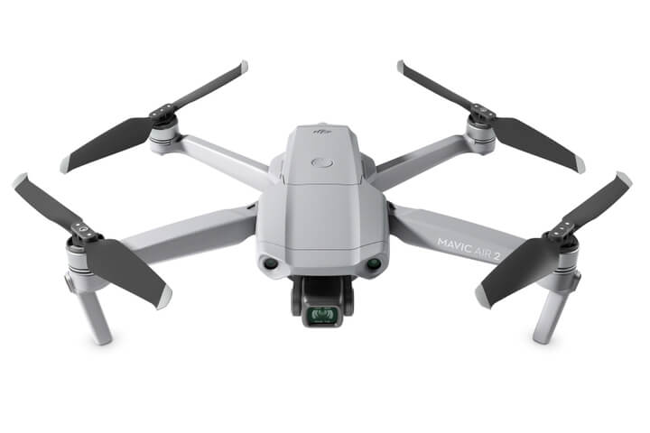
In DJI Pilot 2, enter Camera View, tap the three dots in the top right, then the RTK satellite icon. Three controls sit there: RTK Positioning, the main on/off switch; Maintain Positioning Accuracy Mode, a secondary toggle; and RTK Service Type, which is where you also select the correction source. Leaving RTK Positioning off is the most common reason a drone flies on normal GPS accuracy without anyone noticing until the data comes back soft.
Choosing a Correction Source
RTK Service Type offers three real options once RTK Positioning is on: D-RTK 2 or D-RTK 3 for DJI's own base stations, Custom Network RTK for any NTRIP service, or pairing with a third-party base like an Emlid Reach receiver, which also connects through Custom Network RTK. The field-by-field setup for NTRIP is covered in our DJI NTRIP connection guide; pairing specifically with an Emlid base is covered in our Emlid and DJI RTK drones guide. This section is the fork in the road, not the full walkthrough for either path.
Verifying RTK Is Actually Being Recorded
Every captured photo carries an rtk_flag value in its metadata showing what positioning state it was recorded under. A flag of 50 means RTK Fixed, centimetre-level accuracy. A flag between 34 and 49 means RTK Float, decimetre to metre-level. A flag of 0 means no correction was applied at all, and 16 means single-point GPS only, metre-level accuracy with no RTK involved whatsoever.
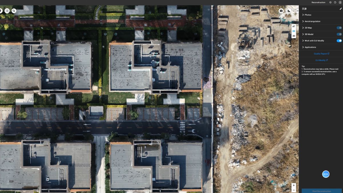
Checking this after a flight, rather than only trusting the in-app status during it, catches the case where RTK dropped partway through a mission without being noticed at the time. DJI Terra reads this data directly when importing a dataset, and the accompanying standard deviation fields (rtk_std_lon, rtk_std_lat, rtk_std_hgt) give a numeric read on how tight the fix actually was.
Common Setup Mistakes
Flying with RTK Positioning switched off is the most frequent one, the aircraft still flies and still geotags images, just at ordinary GPS accuracy with nothing in the interface making that obvious mid-flight. Setting RTK Service Type without actually toggling RTK Positioning on first is a close second, the service type selection alone doesn't activate anything.
Checking fix status only at takeoff is the third. A connection that starts on FIX can drop to FLOAT partway through a long mission if the correction link weakens, which is exactly what the photo metadata check catches after the fact.
What This Means for Your Data
A dataset with RTK enabled throughout, correctly connected, and verified afterward through the flag values is the difference between data you can defend against a client query and data you're hoping was accurate. The setup itself takes under a minute; the verification step takes about the same and is the one most operators skip.

RTK Network Subscription - 1Y Unlimited
More than 2000 Base Stations · Accuracy of 1.5cm with EU Certification
 Free Gifts Included
 Free Gifts Included
Common Questions
Not prominently. The RTK status is visible in the interface but easy to miss if you're not specifically checking it, which is why the post-flight photo metadata check matters.
RTK Positioning is the main system switch. Maintain Positioning Accuracy Mode is a separate setting that also needs addressing when fully disabling RTK, both should be off together if you genuinely want standard GPS only.
Yes, the rtk_flag value in each photo's metadata records exactly that, a flag of 50 for FIX, 34 to 49 for FLOAT.
DJI Terra reads it automatically on import. Standalone metadata viewers can also read the same EXIF-level data if you're not processing in Terra.
The RTK Positioning toggle is identical either way; only the RTK Service Type selection and the credentials or pairing steps that follow differ between them.