Setting Up the Grid Mission in DJI Pilot 2
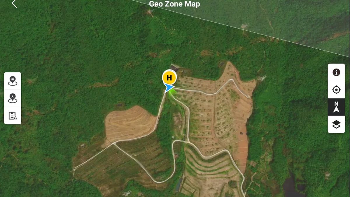
In DJI Pilot 2, a mapping mission starts from Flight Route, then Create a Route, then Area Route, drawing the survey polygon directly on the map. Side and front overlap both default to around 80% on the Matrice 4 Series, enough to keep the resulting model contiguous without gaps. On a large site where battery count is the limiting factor, overlap can be dropped to 60% as a practical minimum, trading some redundancy for coverage per flight.

Camera Settings That Actually Matter
Shutter Priority (S) mode with a fixed shutter speed, rather than full auto, keeps exposure consistent across the hundreds of images a mapping mission captures. 1/1000s suits sunny conditions; dropping toward 1/800s and below helps in lower light without introducing motion blur at the aircraft's mapping speed. Image format should stay JPG at the full 4:3 sensor ratio rather than a cropped ratio, so no usable sensor area is discarded before processing.
The wide camera's mechanical shutter matters specifically because it avoids the rolling shutter distortion an electronic-only shutter introduces on a moving aircraft, the reason DJI positions this camera for mapping work while the tele cameras, electronic shutter only, are not. Dewarping stays off by default on the Matrice 4E during mapping missions; that's expected behaviour, not a setting to hunt down and change, since DJI Terra applies its own distortion correction during processing using the aircraft's factory calibration data.
Altitude and Ground Sampling Distance
Flight altitude and ground sampling distance move together: DJI Pilot 2 lets a mission be set by either figure, and adjusting one recalculates the other automatically. A altitude in the 60 to 120m range (200 to 400ft) is the typical working band, lower for finer detail, higher to cover more ground per flight at the cost of resolution. The right point on that scale depends on what the output needs to resolve, individual cracks in a roof need a tighter GSD than a general site progress map.
Processing the Flight into an Orthomosaic
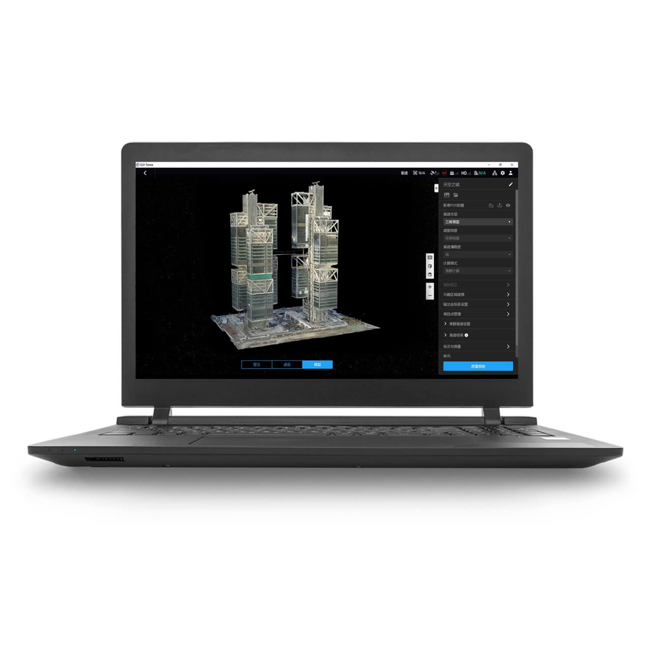
DJI Terra takes the raw image set and aligns and blends overlapping frames into a single georeferenced 2D map, correcting for camera perspective and terrain variation as it goes, the step that turns a folder of individual aerial photos into one flat, measurable map rather than a photo album. RTK positioning on the Matrice 4E, 1cm + 1ppm horizontal accuracy under a live correction source, carries directly into the orthomosaic's positional accuracy, since each image is geotagged at capture.
The same flight dataset processes into more than one output without reflying. Alongside the orthomosaic, DJI Terra generates a Digital Surface Model showing the elevation of everything visible including buildings and vegetation, a Digital Elevation Model with those above-ground objects stripped back to bare terrain, a point cloud, and a textured 3D mesh, selected according to what the specific deliverable calls for.
What This Means in the Field
Overlap and altitude are the two settings worth getting right before takeoff, since both are expensive to fix after the fact, a gap in coverage means a repeat flight, not a processing workaround. 80% overlap is the safer default; only drop to 60% deliberately, when battery count on a large site is the genuine constraint rather than a shortcut. Altitude should be set from the GSD the deliverable actually needs, not a default figure carried over from a different job.
Getting the RTK link solid before the mission starts matters as much as the camera settings, since a weak or dropped correction degrades the orthomosaic's real-world positional accuracy even if every image is otherwise sharp and well-overlapped.

RTK Network Subscription - 1Y Unlimited
More than 2000 Base Stations · Accuracy of 1.5cm with EU Certification
 Free Gifts Included

DJI Matrice 4E RTK Bundle
The Ultimate Mapping Package · D-RTK 3, Tripod & Four Batteries Included
Common Questions
80% side and front overlap is the default and the safer choice. 60% is a practical minimum on large sites where battery count is the limiting factor, not a setting to use by default.
That's expected behaviour on this aircraft, not a fault. DJI Terra applies its own distortion correction during processing using the camera's factory calibration data, rather than the aircraft correcting it in-flight.
Both. Each image is geotagged at capture, so the accuracy of the correction feeding the aircraft at that moment carries directly into the orthomosaic's positional accuracy, not just how precisely the aircraft flew its grid lines.
Set by the ground sampling distance the deliverable needs rather than a fixed default. DJI Pilot 2 links altitude and GSD, so changing one recalculates the other; 60 to 120m is the typical working range.
Yes, DJI Terra processes the same captured dataset into a Digital Surface Model, Digital Elevation Model, point cloud or textured mesh alongside the orthomosaic, no separate flight needed.