Why Standalone GNSS Only Gets You a Few Metres
A standalone receiver measures position from the code, a repeating digital pattern each satellite broadcasts, timing how long it takes to arrive. That code has a wavelength of around 300 metres, so small timing errors translate into metre-scale position errors.
Several error sources add to that on top: satellite clock and orbit inaccuracies, and delay as the signal passes through the ionosphere and troposphere. Combined, these typically leave an uncorrected GNSS position 5 to 10 metres off true position.
Carrier-Phase Measurement and Why It's Precise Enough to Matter
RTK measures the radio carrier wave itself rather than the code riding on it. That wave has a wavelength of around 20 centimetres for GPS L1, roughly 1,500 times shorter than the code wavelength, which is where the precision comes from.
The catch is that a receiver can measure where it sits within one wavelength cycle, but not which cycle it's on. That unknown whole number of cycles is the integer ambiguity, and resolving it is what separates an approximate carrier-phase position from a precise one.
Integer Ambiguity and the Path to FIX
A base station at a known position and a rover both track the same satellites. Comparing what each receiver measures cancels out the errors they share, atmospheric delay and satellite clock or orbit errors chief among them, since both receivers are looking through nearly the same slice of sky.
What's left is enough information to solve for the integer ambiguity, and the receiver's solution status reflects how far along that process is. SINGLE means no corrections are applied, several metres of error. FLOAT means corrections are being used but the integer ambiguity isn't resolved yet, typically decimetre to sub-metre accuracy. FIX means the ambiguity is resolved, centimetre-level accuracy, and Reach receivers typically reach it within about 5 seconds in open sky once a solid correction link is established.
Why the Base Needs to Be Close: The PPM Figure
Reach receivers quote RTK accuracy as "7mm + 1ppm" horizontal. The fixed 7mm covers the receiver's own measurement noise; the 1ppm term adds error proportional to the distance between base and rover, and 1ppm works out to 1mm of added error per kilometre of that distance.
At a 5km baseline, that's 7mm plus 5mm, 12mm total. At 20km, it's 7mm plus 20mm, 27mm. The reason distance matters is the same cancellation principle from the previous section: atmospheric delay is similar for two receivers close together, and diverges the further apart they are, so the correction cancels less of it. A practical working range from a single base is commonly cited as 10 to 20km before fix reliability starts to suffer, which is part of why network RTK services use Virtual Reference Stations instead of one fixed base, computing a correction point at the rover's own location rather than a fixed distance away. Our NTRIP guide covers that approach in more detail.
RTK Compared With PPK and Static Observation
Method | Corrections applied | Needs a live link | Typical use |
|---|---|---|---|
RTK | In real time, in the field | Yes, radio or NTRIP | Stakeout, live positioning while working |
PPK | After the fact, in software | No, logged and processed later | Sites with unreliable live connectivity |
Static observation | Averaged over a longer session | No | Establishing a control point itself |
RTK and PPK use the same underlying carrier-phase and ambiguity resolution; the difference is only when the correction is applied. A dedicated comparison of the two is coming in a future post.
What This Means in the Field
The 7mm + 1ppm figure and the roughly 5 second convergence time are the same numbers quoted across the current Reach range, RS3, RS4, RS4 Pro and RX2. What changes between models is how reliably FIX is reached and held under difficult conditions, tracked bands, tilt range and radio options, not the underlying accuracy once FIX is achieved. Our RS4 vs RS3 comparison covers those practical differences.
For drone ground control points, construction stakeout or boundary work, FIX is the state that matters; FLOAT readings are not reliable enough to record as final positions on any of these jobs.
 Free Gifts Included
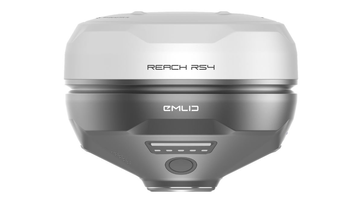 Free Gifts Included
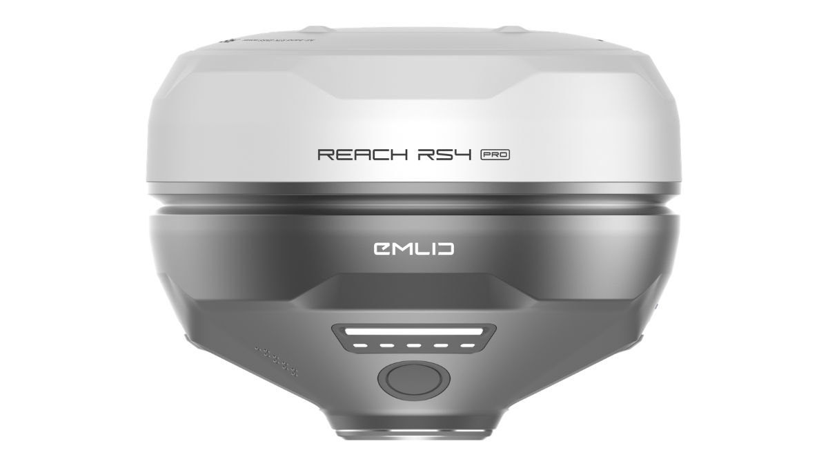 Free Gifts Included
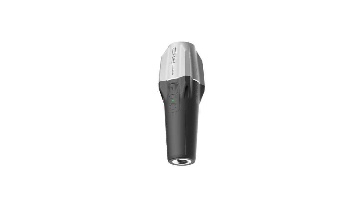 Free Gifts Included
Common Questions
FIX means the integer ambiguity is resolved, which is the precondition for centimetre accuracy, but the fixed error term and how reliably FIX is reached still vary by receiver and site conditions.
Usually a weak or interrupted correction link, obstructed sky view, or too much distance from the base for the ambiguity to resolve reliably. Checking those three first resolves most cases.
VRS-based NTRIP services largely sidestep it by computing a correction at the rover's own location rather than a fixed physical base some distance away, which is why VRS accuracy stays more consistent across a coverage area.
No. Reach receivers quote a larger vertical figure, 14mm + 1ppm against 7mm + 1ppm horizontal, which is typical of GNSS generally; vertical positioning is inherently less precise than horizontal.
No. Emlid Flow handles the ambiguity resolution and correction processing automatically; this explains what's happening behind the SINGLE, FLOAT and FIX indicator, not a manual step.