The Specifications Side by Side
| Reach RX2 | Reach RS3 | |
|---|---|---|
| Role | Rover only | Base or rover |
| Price | £2,099.00 | £2,699.00 |
| GNSS channels | 672 | 184 |
| Bands tracked | L1/L2/L5/L6 | L1/L2 |
| RTK accuracy | H: 7mm + 1 ppm | H: 7mm + 1 ppm |
| Tilt compensation | RTK + 2mm + 0.3mm per degree | Up to 60° at 20mm |
| Raw data logging | No | RINEX, 16GB internal |
| Corrections input | NTRIP only | NTRIP, LoRa, UHF receive |
| Internet | Via paired phone | Built-in LTE modem and SIM |
| Update rate | 5 Hz | 10 Hz |
| Weight | 280g | 950g |
| Ingress protection | IP68 | IP67 |
| Battery | 16 hrs | 18 hrs with tilt, 22 hrs logging |
For the technical detail behind these figures across the full range, read Emlid GNSS Receivers Explained.
The Counterintuitive Part
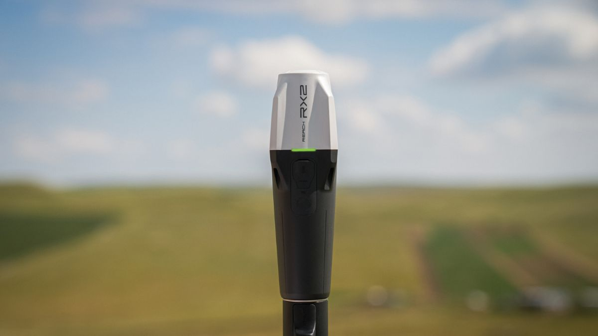
The RX2 is the newer chipset. It tracks 672 channels across L1, L2, L5 and L6 on every constellation, while the RS3 tracks 184 channels on L1 and L2 only. The L5 and L6 bands resist multipath and interference, which is what keeps a fix stable under canopy and between buildings.
In raw satellite tracking terms, the cheaper receiver holds a fix in harder conditions than the dearer one. Its tilt compensation is also the newer generation, initialising after a short walk with no calibration step.
None of that makes the RX2 the better buy. It makes the RS3 a different tool, and the £600.00 price difference buys capability rather than positioning performance.
What the RS3 Does That the RX2 Cannot
Three things, and each one is decisive on its own.
Broadcast corrections as a base station. The RS3 can sit on a tripod over a known point and feed a rover. The RX2 has no radio and no base mode, so two RX2 units will never give you a base and rover pair
Log raw RINEX data. The RS3 carries 16GB of internal storage and records over 160 days of logging at 1 Hz, which enables PPK, static observation and PPP workflows. The RX2 works in real time RTK only
Connect independently. The RS3 takes a nano-SIM and pulls NTRIP corrections over its own LTE modem. The RX2 relies on the internet connection of the phone or tablet paired to it over Bluetooth
That third point is the one that catches people out on site. An RX2 with a phone on a weak network is an RX2 with no corrections.
What the RX2 Does That the RS3 Cannot
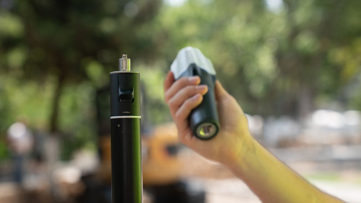
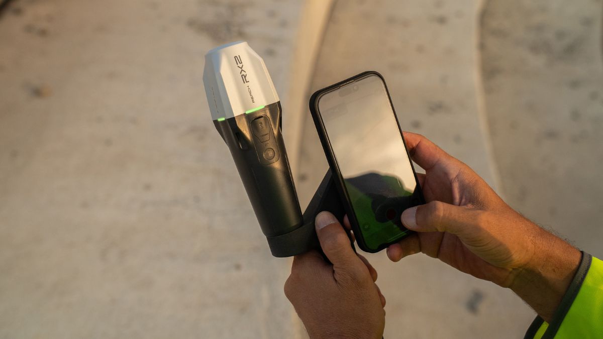
The RX2 weighs 280g against 950g and measures 172 x 51 x 51mm, small enough for a glove compartment. Over a full day of walking a site, that difference is real.
It carries Apple MFi certification, so it connects natively and reliably to iPhones and iPads, and it streams positions into ArcGIS Field Maps, Survey123, QField, Mergin Maps, Global Mapper and Avenza without changing anyone's existing workflow. Staff with no surveying background can be productive on it the same day.
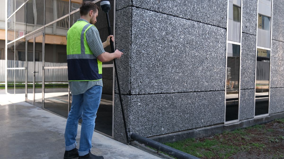
It also handles terrestrial scanning when paired with the Emlid Scanning Kit at £599.00 and PIX4Dcatch, capturing 3D models of vertical surfaces and hard to reach areas.
Where Each One Loses
The RX2 loses on any site without reliable mobile data, on any project needing post-processing, and anywhere you need to establish your own control. It is also IP68 rated but sits at -20 to +65°C, the same as the RS3, so weather is not a differentiator between them.
The RS3 loses on band coverage in obstructed environments, on weight over long days, and on setup simplicity for non-surveyors. Its UHF radio is receive only and requires a 410 to 470 MHz antenna sold separately, so it cannot broadcast over UHF as a base, only over LoRa at 0.1W.
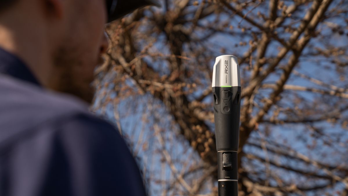
Neither receiver works indoors or under solid cover. Sky view remains a hard requirement for both.

Choosing Between Them
Pick the RX2 if you are equipping field officers who collect data inside GIS software, work in areas with decent mobile coverage, and never need to establish control or post-process. Local authority asset teams, utilities crews and environmental monitoring staff sit here.
Pick the RS3 if you are a surveyor, contractor or drone operator who needs a base station, logs raw data, or works on sites where mobile signal fails. The £600.00 premium buys independence.
Pick both if you are running a mixed team. An RS3 on a tripod broadcasting corrections, with RX2 units as rovers, is a workable configuration where several people need positions on one site.
If band coverage is your actual problem rather than base capability, the Reach RS4 at £3,599.00 is the receiver to look at instead. It combines the 672 channel all-band tracking of the RX2 with full base station capability, IP68 sealing and a wider operating range of -40 to +65°C.
Cost of Ownership
Both receivers include the first year of Emlid Corrections, a VRS service with confirmed UK coverage delivering 1 to 2cm accuracy. Renewal is charged directly by Emlid, currently $699 per year or $1,199 for three years, priced in US dollars, and each licence ties to one serial number.
Our RTK Network Subscription is the alternative at £1,080.00 annually across more than 2,000 base stations, with a 30 day option at £180.00 for project work.
Neither receiver ships with a pole. Budget the Emlid Survey Pole at £299.00 and the Quick-Release Adapter at £119.00, which matters more than it looks on a tilt compensated receiver: any play between unit and pole introduces error at steeper angles.
For the full cost picture across the range, read our Emlid Reach Buyers Guide.
Common Questions
No. The RX2 has no base mode and no radio, so it always needs an external correction source.
Both quote 7mm + 1 ppm horizontal in RTK. The difference shows in difficult conditions, where the RX2's all-band tracking holds a fix the RS3 may drop.
Yes. It connects over Bluetooth and uses the phone's internet connection for NTRIP corrections.
Yes, and it is widely used for exactly that. It logs RINEX for post-processing and can broadcast corrections to an RTK enabled aircraft.
The RX2. It works out of the box inside GIS apps people already use, with no configuration and no calibration steps.