The Spec Comparison at a Glance
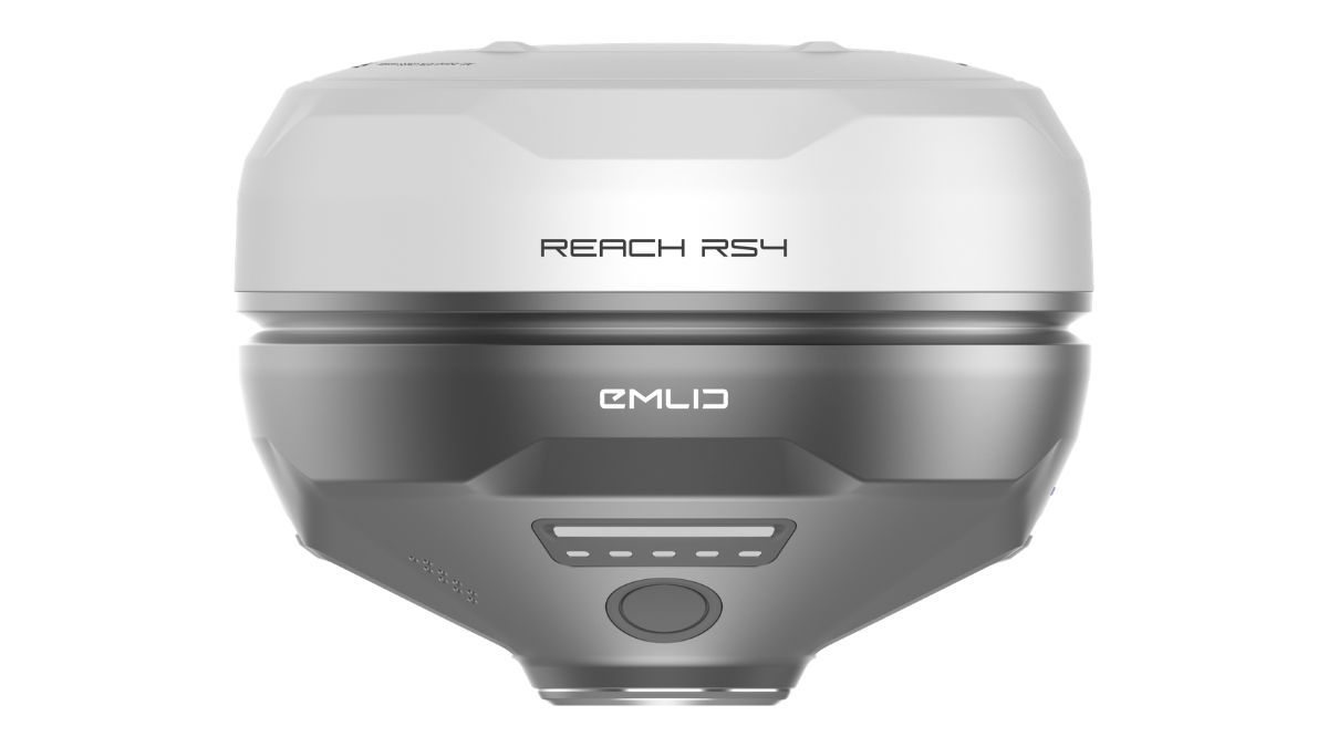
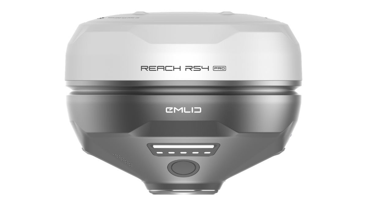
Spec | Reach RS4 | Reach RS4 Pro |
|---|---|---|
Price | £3,599.00 | £4,299.00 |
GNSS tracking | 672 channels, L1/L2/L5/L6 | 672 channels, L1/L2/L5/L6 |
RTK accuracy | 7mm + 1ppm horizontal, 14mm + 1ppm vertical | 7mm + 1ppm horizontal, 14mm + 1ppm vertical |
Tilt compensation | 18mm at 30° tilt | 18mm at 30° tilt |
Battery (RTK rover, tilt on) | 16 hrs | 16 hrs |
IP rating | IP68 | IP68 |
Operating temperature | -40°C to +65°C | -40°C to +65°C |
UHF radio | 450MHz, up to 2W | 450MHz, up to 2W |
LoRa radio | 915MHz, up to 1W | 915MHz, up to 1W |
Cameras | None | Dual Full HD global shutter, 25fps |
Weight | 927g | 943g |
Internal storage | 16GB | 16GB |
Every row above the camera line reads the same. The positioning engine did not change between the two models; the housing added two lenses.
What the Cameras Actually Add
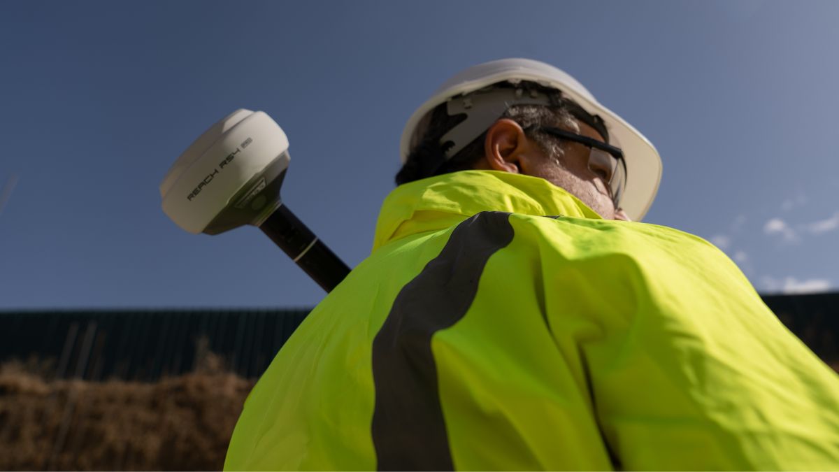
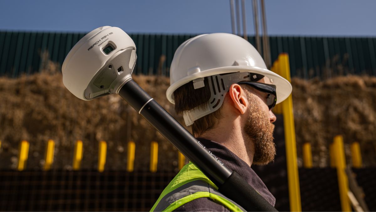
Two Full HD global shutter cameras sit in the RS4 Pro's housing, one front-facing and one on the base. Emlid Flow overlays your design points on the live camera feed, so stakeout runs by walking to a point shown on screen rather than reading coordinates off a map and triangulating by eye.
The second function applies more directly to survey work. Point the camera at a facade, a point across a live carriageway, or an area behind fencing, capture the image, and Emlid Flow calculates the coordinate from the photograph. No physical access to the point is required.
Both functions run through the same Emlid Flow app the standard RS4 uses for stakeout and logging. The workflow does not change beyond two extra options in the menu.
Camera Measurement Compared With a Total Station
Total stations remain the standard tool for points a GNSS pole cannot reach safely or physically: a corner behind a locked gate, a facade above head height, a point on the far side of a live carriageway. The RS4 Pro's camera measurement covers a share of that work using the same receiver and the same app, without switching equipment.
Where a site produces inaccessible points only occasionally, the RS4 Pro handles them without a second instrument on site. Where a project runs a full topographic survey with a total station out for the day regardless, the camera adds a capability that goes unused, and the standard RS4 delivers the same GNSS performance at £700 less.
Weight and Handling
The RS4 Pro weighs 943g against the RS4's 927g, a 16 gram difference attributable to the camera housing. Dimensions, IP68 sealing and the -40°C to +65°C operating range are unchanged, so field conditions rated for one model apply equally to the other.
Matching the Receiver to the Job
The RS4 Pro suits sites where inaccessible points are a regular occurrence: facades, traffic-adjacent boundaries, fenced or restricted areas, or jobs where a total station currently covers those gaps.
The standard RS4 suits sites where every point is reachable with a pole, covering most construction layout, open topographic survey and drone ground control point work.
Tilt-heavy work and band coverage under canopy are unaffected by this choice. Both models share the same 30° tilt figure and L5/L6 tracking; neither matches the RS3's wider 60° tilt range, covered separately in the RS4 vs RS3 comparison.

RTK Network Subscription - 1Y Unlimited
More than 2000 Base Stations · Accuracy of 1.5cm with EU Certification

 Free Gifts Included
 Free Gifts Included
Common Questions
No. RTK accuracy, tilt compensation and GNSS tracking are identical between the two. The Pro's difference is in what the cameras let you measure, not how precisely.
For inaccessible-point work, in part. For interior work, tunnels or anywhere GNSS itself cannot get a fix, no receiver replaces a total station regardless of cameras.
Camera-based measurement inherits the same underlying RTK accuracy as a standard shot. The camera changes how the point is captured, not the accuracy of the coordinate behind it.
No. The Survey Pole, Quick-Release Adapter and Smartphone Mount fit both models identically.
Rarely. GCP marking uses fixed, accessible targets, so the standard RS4 covers that role without the camera capability going to use.