The Survey-Relevant Specs
Factor | Matrice 4E | Matrice 4T |
|---|---|---|
Wide camera shutter | Mechanical + electronic | Electronic only |
Wide camera sensor | 4/3-inch CMOS, 20MP | 1/1.3-inch CMOS, 48MP |
Medium tele camera | 1/1.3-inch CMOS, 48MP | Not fitted |
RTK accuracy | 1cm + 1ppm horizontal, 1.5cm + 1ppm vertical | 1cm + 1ppm horizontal, 1.5cm + 1ppm vertical |
Flight time (site coverage per battery) | 49 min | 49 min |
Thermal capability | None | 640 x 512 |
Price | £3,940.00 | £5,910.00 |
Why Shutter Type Outweighs Resolution for Survey Work
The M4T's wide camera carries more raw resolution, 48MP against the M4E's 20MP, but resolution doesn't fix rolling shutter distortion once it's baked into a frame captured mid-flight. Every image on a mapping mission is taken while the aircraft is moving, and an electronic-only shutter scans the sensor progressively rather than capturing it all in one instant, introducing a skew that a bundle adjustment in DJI Terra has to work around rather than eliminate. For land surveying, construction monitoring, volumetric measurement or any deliverable where geometric accuracy is checked against ground control, that's a structural disadvantage no amount of resolution corrects.

The Third Camera Matters for Combined Capture
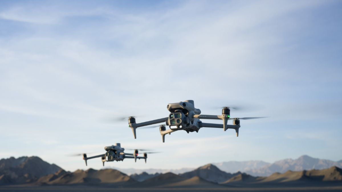
The M4E's medium telephoto camera, absent on the M4T, supports combined nadir and oblique capture strategies in a single mission, relevant for 3D modelling work alongside standard 2D mapping. Surveying workflows that need both an orthomosaic and a textured mesh or point cloud from the same flight benefit from having that second focal length built in, rather than needing a separate mission or aircraft for oblique coverage.
Where Thermal Fits a Survey Workflow
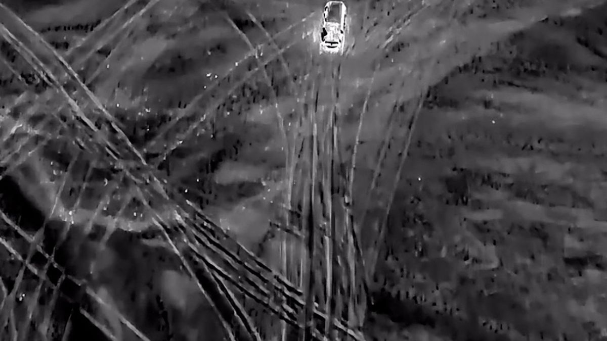
Thermal isn't part of a standard land or topographic survey, but it does have a place in specific survey-adjacent work, moisture mapping on roofing or building envelopes, buried utility or pipe leak detection where a temperature differential shows through the surface, and similar niche applications. For that kind of work the M4T's thermal camera is the relevant tool; for standard photogrammetric surveying, land measurement or volumetric calculation, it adds cost without adding survey accuracy.
Choosing Between the M4E and M4T for Surveying
Land surveying, construction monitoring, volumetric measurement and any mapping deliverable checked against ground control points to a stated accuracy tolerance points clearly to the M4E, the mechanical shutter is the deciding factor, not the price gap. Thermal-specific survey applications, moisture or leak detection work where a temperature signature is the actual deliverable, point to the M4T instead, standard photogrammetric accuracy isn't the goal there in the same way.
 Free Gifts Included
 Free Gifts Included
Common Questions
No, resolution isn't the deciding factor for mapping accuracy, shutter type is. The M4T's electronic-only shutter introduces rolling shutter distortion during a moving capture that the M4E's mechanical shutter avoids.
It can capture imagery, but the electronic-only shutter's rolling shutter distortion works against the geometric accuracy standard photogrammetric surveying needs. The M4E is the better-suited aircraft for that specific requirement.
Yes, in specific cases, moisture mapping, buried utility or pipe leak detection, and similar work where a temperature differential is the actual deliverable rather than geometric measurement.
Yes, the medium telephoto supports combined nadir and oblique capture in one mission, useful when a project needs both a 2D orthomosaic and a 3D mesh or point cloud from the same flight.
No, both hold identical 1cm + 1ppm horizontal and 1.5cm + 1ppm vertical accuracy. The difference for surveying comes from shutter type, not positioning accuracy.