
Surveying drones, also known as unmanned aerial vehicles (UAVs), are rapidly becoming a popular tool for surveying and mapping land. These drones are equipped with high-resolution cameras, laser scanners, and other sensors that can accurately measure and map large areas in a short amount of time. They provide a quick and cost-effective alternative to traditional surveying methods, making them an attractive option for a wide range of industries, including construction, agriculture, forestry, and mining.
Benefits of using drones over traditional methods
One of the key benefits of using a surveying drone is speed. A drone can cover large areas in a short amount of time, capturing high-resolution images and data that can be used to create detailed maps and 3D models. This can save significant time and resources compared to traditional surveying methods, which often require a team of surveyors to spend days or even weeks on a single project.
Another advantage of surveying drones is accuracy. With advanced sensors and high-resolution cameras, drones can capture precise measurements and detailed images of the land being surveyed. This allows surveyors to create accurate maps and 3D models that can be used to plan and execute projects with confidence.
In addition to speed and accuracy, surveying drones are also cost-effective. Traditional surveying methods can be expensive, particularly when they involve hiring a team of surveyors and renting or purchasing specialised equipment. By using a drone, companies can save on labour and equipment costs, making it an attractive option for small businesses and startups.
Considerations
There are a few key considerations to keep in mind when using a surveying drone. First, it's important to ensure that the drone is operated by a qualified pilot with the necessary training and certification. In addition, it's essential to follow all local laws and regulations related to drone usage, as well as any specific guidelines set by the industry or project at hand.
Another important factor to consider is data security. Drones can capture a large amount of sensitive data, including images of private property and personal information. It's important to have robust data management and security protocols in place to protect this data from unauthorised access or misuse.
Despite these considerations, surveying drones are becoming an increasingly popular tool for a wide range of industries. From construction and agriculture to forestry and mining, these drones are providing a quick, accurate, and cost-effective way to survey and map land. As the technology continues to advance and become more widely available, we'll likely see even more companies and organisations turning to drones for their surveying needs.
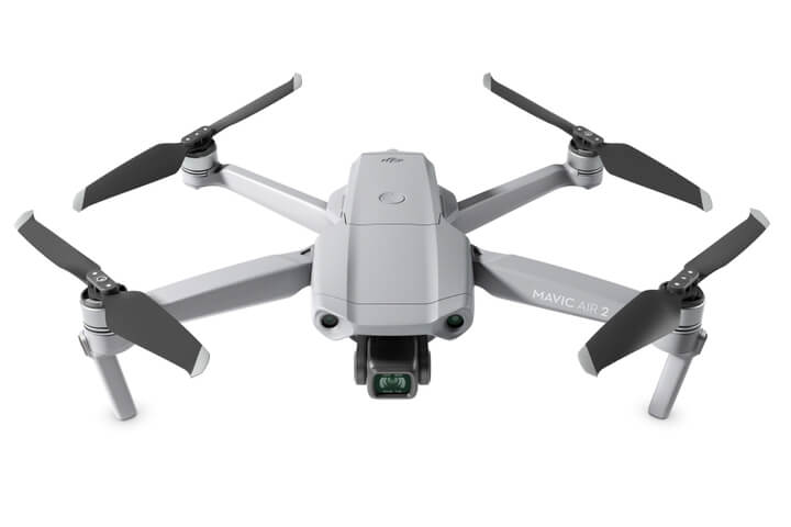
What mapping drones do we sell?
DJI Mavic 3 Enterprise
The best entry-level mapping drone. Survey 2 square kilometres in a single flight.

DJI Matrice 300 RTK Universal Edition + DJI Zenmuse P1
The Matrice 300 RTK redefines industrial drones by fusing intelligence with unmatched dependability, high performance, and reliability. The M300 RTK drone from DJI is a brand-new design. This cutting-edge drone platform has unmatched flight capabilities and outstanding safety features.
The M300 RTK has a maximum flying time of 55 minutes, six-directional sensing and localisation, and other features. It also has strong AI capabilities. This creates an unmatched level of dependability by completely changing the industry standard for intelligence and performance.

DJI Matrice 30
With IP55 protection, the M30 can easily handle adverse weather and temperatures ranging from -20° C~50° C.