DJI Matrice 4E vs 4T for Surveying
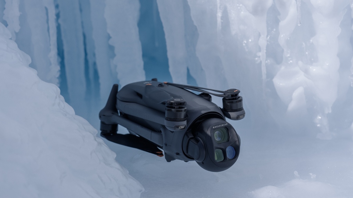
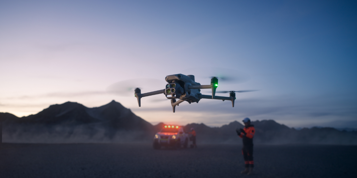
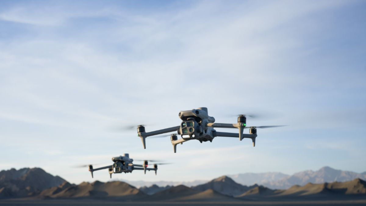
The M4T's wide camera carries more raw resolution, 48MP against the M4E's 20MP, but resolution doesn't fix rolling shutter distortion once it's baked into a frame captured mid-flight.
News & Blog
Posts published in October 2026.
The M4T's wide camera carries more raw resolution, 48MP against the M4E's 20MP, but resolution doesn't fix rolling shutter distortion once it's baked into a frame captured mid-flight.
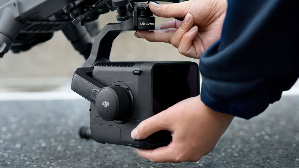
The Matrice 400 is a modular platform with no payload included as standard, built to carry up to 6kg across DJI's current Zenmuse range, LiDAR, thermal, zoom and full-frame cameras among them.
C0 is the lightest and least restricted of the three, a sub-250g aircraft with no low-speed mode requirement and no Remote ID mandate specific to the class itself.
Remote ID broadcasts a drone's identification and location data during flight, over Wi-Fi or Bluetooth, without needing an internet connection to do it.
The CAA is replacing its single standalone GVC qualification with a structured Remote Pilot Certificate ladder, RPC-L1 through L4, that scales with the complexity of the operation rather than issuing one certificate for everything.
Electrical inspection, solar panel hotspot detection, mechanical or industrial plant condition monitoring and building envelope surveys all rely on finding a problem that isn't visible in a normal photograph, a genuinely overheating component, a failed bypass diode, a section of roof losing heat.
The aircraft logs four files during the flight: an .obs file (raw satellite observation data in RINEX format), a .nav file (satellite ephemeris data), a correction log from the base station in RTCM format, and an .mrk file recording the exact timestamp of every image exposure.
PDRA01, Pre-Defined Risk Assessment 01, is a Specific Category Operational Authorisation with its risk assessment already completed by the CAA.