
Drones for Construction
Progress records, earthwork volumes and site evidence from the air
A weekly flight produces a dated, measurable record of the whole site. That record settles arguments about what was built when, supports a valuation, evidences a variation, and gives a project manager a view of the job that no amount of walking it will provide.
PROGRESS MONITORING
A dated record of the whole site
Progress photographs taken from the ground capture whatever the person holding the camera thought was important that day. An aerial capture flown on a fixed route captures everything, at the same scale, from the same positions, every time. That consistency is what makes the record worth anything six months later when somebody disputes a date.
The DJI Matrice 4E at £3,940 captures 20 MP through a factory-calibrated mapping camera with 49 minutes of endurance and five-directional oblique capture in a single automated pass. DJI Terra processes the result into orthomosaics and 3D models that can be compared against previous captures and against design.
For multi-site contractors or long programmes, DJI Dock 3 with a Matrice 4TD at £16,795 flies the same route on a schedule without a pilot travelling to site.
- Record verifiable, dated site conditions for valuations and progress claims
- Evidence variations, delay and disruption with imagery nobody can dispute the date of
- Compare actual progress against programme using directly overlaid captures
- Report to clients and funders with current site imagery rather than a written summary
- Retain a complete visual history of the works through to handover and beyond
EARTHWORKS AND VOLUMES
Measuring what has moved
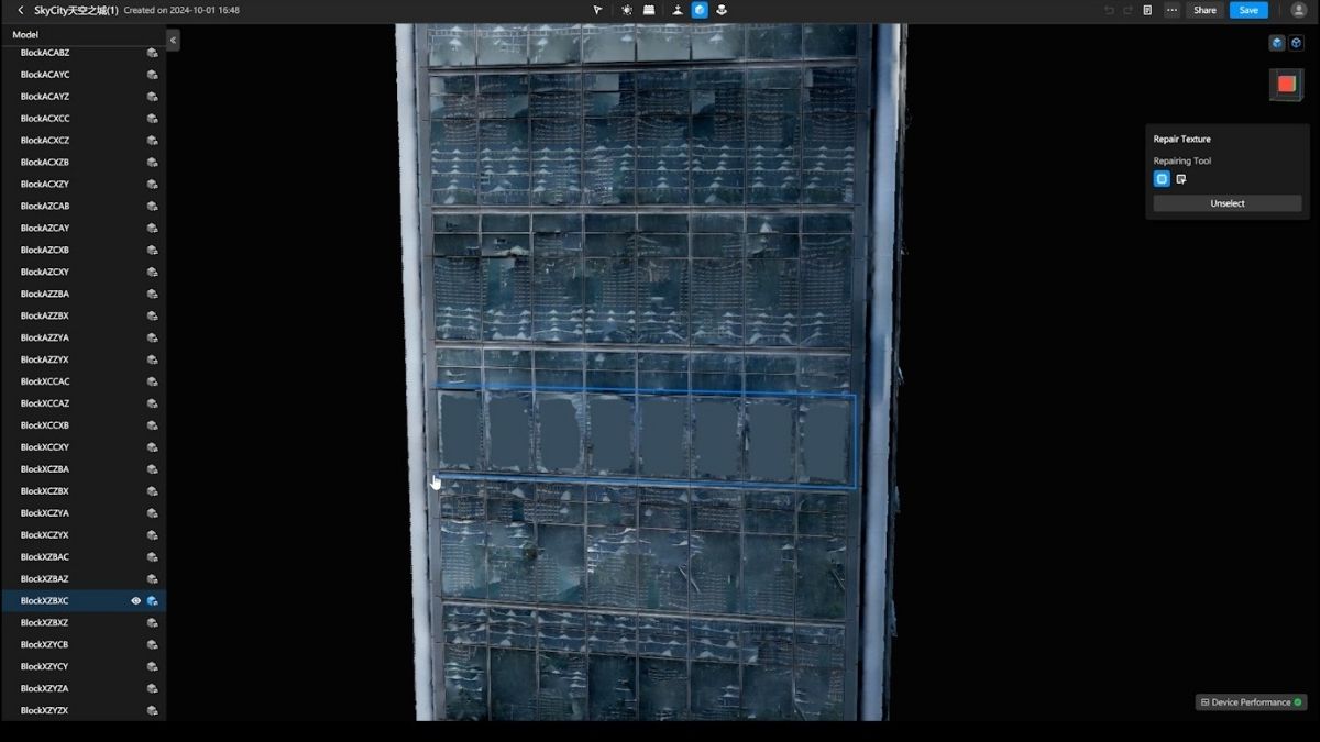
Stockpile and earthwork measurement by traditional survey is slow, and on a live site it puts a surveyor among plant. Aerial capture measures the whole site in one flight, and the same dataset serves the volume calculation, the progress record and the site model.
DJI Terra computes cut, fill and stockpile volumes against a known datum or an imported design surface, so quantities can be checked against what has been claimed rather than estimated. Because the capture is RTK-positioned, this month's surface compares directly against last month's.
Where absolute accuracy has to be evidenced, the D-RTK 3 Multifunctional Station at £1,369 supplies corrections from a base station on site without depending on mobile coverage, and Goecke ground control points from £10 each provide the check marks that let you demonstrate the accuracy you are claiming.
- Calculate cut and fill volumes against design for interim valuation
- Measure stockpiles and muck away without a surveyor walking the site
- Verify subcontractor quantities against an independent measurement
- Track earthworks progress week to week against programme
- Evidence quantities with a dated, checkable dataset rather than an estimate
SITE LOGISTICS
Planning, coordination and stakeholder communication
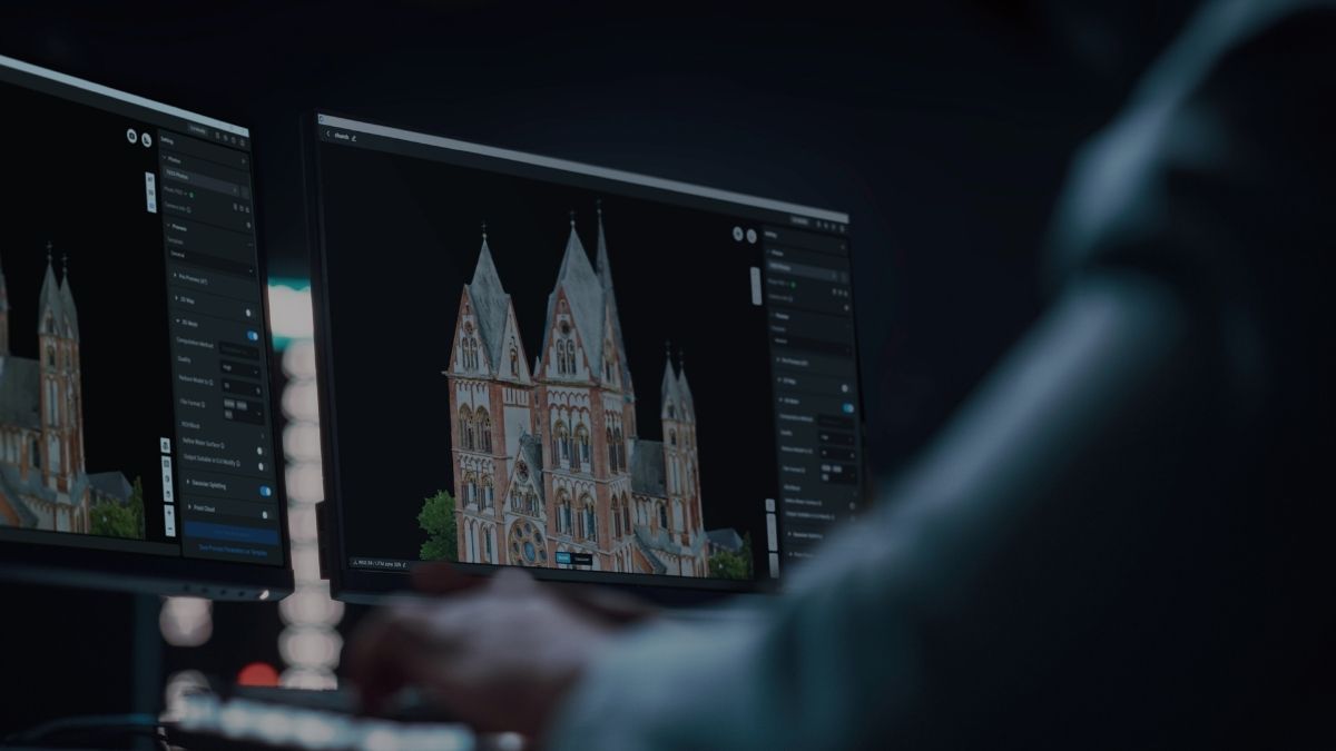
A current orthomosaic is a better site plan than a drawing, because it shows what is actually there rather than what was intended. Access routes, crane positions, compound layout, material storage and hoarding lines can all be planned against real conditions and updated as the site changes.
The same capture serves the commercial side of the project. Marketing imagery, planning submissions, community consultation and investor reporting all draw on material a single flight already produced.
- Plan access, compound and craneage against actual site conditions
- Coordinate subcontractors against a shared, current site view
- Support planning submissions and community consultation with real imagery
- Produce marketing and sales material from capture the programme already required
- Brief incoming trades with a site model rather than a drawing and a walk round
SAFETY AND INSPECTION
Reaching what people should not have to
Aerial inspection reaches roofs, steelwork, scaffold, facades and cladding without putting an operative at height. On a live site that removes both a cost and a risk, and it lets a check happen the day it is needed rather than when access equipment becomes available.
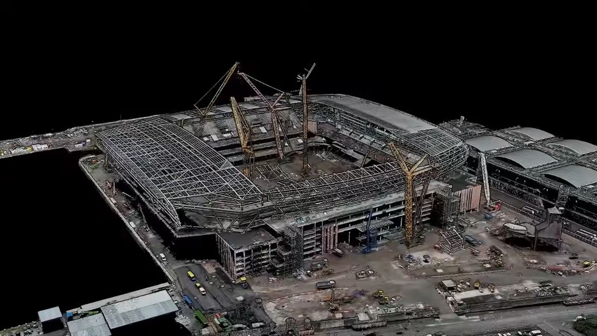
The Matrice 4T at £5,910 runs visible, thermal and telephoto sensors simultaneously with 112x hybrid zoom, so a defect can be examined, thermally checked for water tracking and dimensioned against the laser rangefinder in one pass.
- Inspect roofs, cladding and steelwork without scaffold or MEWP hire
- Check scaffold condition, ties and edge protection from a safe distance
- Detect water ingress and thermal bridging through the building envelope
- Survey hoarding, perimeter and neighbouring property condition
- Record pre-condition and dilapidation evidence before works begin
LIMITATIONS
What to be realistic about
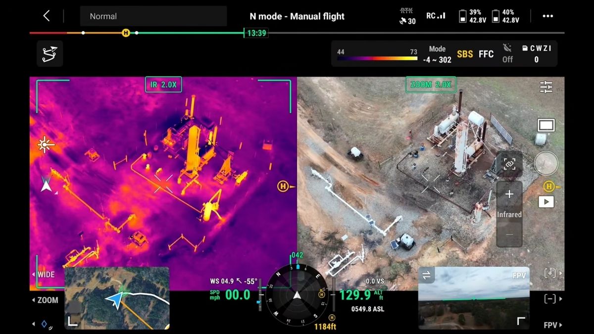
Photogrammetry needs to see the ground. Once a site is enclosed, roofed or heavily obstructed, aerial capture records the outside and nothing else. It is strongest on groundworks, substructure, frame and envelope, and it tails off through fit-out.
Volume accuracy depends on control. RTK alone reaches survey-grade accuracy on most commercial work, but if a volume figure will be billed against or disputed, lay checkpoints. They are how you evidence the accuracy rather than assert it.
Flying a live site is not straightforward. People, plant, cranes and neighbouring property all sit inside the risk assessment, and most site work falls outside the Open category. Craneage in particular needs coordination rather than avoidance.
It supplements the surveyor, it does not replace one. Setting out, level control and anything with legal or contractual weight remains survey work. Aerial capture targets and evidences it.
Drone Solutions for Construction
Enhance your Construction Capabilities With Drone Technology
CAPABILITIES
What site capture hardware has to do
Progress data is only useful if it is comparable month to month and accurate enough to bill against. The specifications below are what separate a usable record from a set of aerial photographs.
20 MP mapping camera
A factory-calibrated 4/3 CMOS sensor with mechanical shutter, capturing distortion-free imagery for orthomosaics and measurable models.
Five-directional oblique
Plan and facade capture in a single automated pass, removing the second flight an oblique survey would otherwise need.
49-minute endurance
Enough airborne time to complete most site-scale routes on one battery, so a progress flight fits inside a site visit.
3 km² per flight
Coverage sufficient for large sites and infrastructure corridors without splitting the capture across days.
Centimetre positioning
RTK ties every capture to a centimetre-accurate location, so this month's model overlays last month's and design.
Volumetric calculation
Cut, fill and stockpile volumes computed in DJI Terra against a known datum or a design surface.
112x hybrid zoom
Detail resolved from 250 m for defect checks, high-level inspection and crane or steelwork condition.
Automated repeat missions
Identical routes flown to a schedule through DJI FlightHub 2, producing directly comparable datasets.
3D reconstruction
Textured models and point clouds built in Terra for measurement, clash checking and BIM integration.
WHO WE WORK WITH
Supplying UK construction since 2015
Main contractors, groundworks and civils firms, quantity surveyors, developers and site engineering teams buy their equipment from us. We are a DJI Enterprise A-Rank retailer, DJI's highest authorised retail tier, ISO 9001 certified, and YPO-approved for public sector procurement. We supply the aircraft, train the crew that flies it, and repair it in house when something goes wrong.
WHY DRONE SAFE STORE
Support beyond the purchase
Choosing the right aircraft is only the beginning. We support your operation from equipment selection and configuration through to training, rental, servicing and repair, all from our base in Chichester. We are a DJI Enterprise A-Rank retailer, ISO 9001 certified and a YPO-approved supplier for Drones and Associated Services. This gives contractors, consultancies, developers and public sector clients access to specialist DJI equipment and established procurement routes.
Accreditation
 Armed Forces Covenant
Proudly supporting the Armed Forces community and veterans.
Armed Forces Covenant
Proudly supporting the Armed Forces community and veterans.
 ISO 9001 Certified
Certified quality management systems for consistent service and customer satisfaction.
ISO 9001 Certified
Certified quality management systems for consistent service and customer satisfaction.
 DJI Enterprise A Rank Retailer
DJI's highest level of authorised retail and technical expertise.
DJI Enterprise A Rank Retailer
DJI's highest level of authorised retail and technical expertise.
 D-U-N-S® Registered
Globally recognised business identity, verified for international trade. Number: 221162020
D-U-N-S® Registered
Globally recognised business identity, verified for international trade. Number: 221162020
 Financial Conduct Authority
Authorised and regulated by the FCA for consumer finance activities.
Financial Conduct Authority
Authorised and regulated by the FCA for consumer finance activities.
 YPO Approved Supplier
Approved on the YPO framework as a supplier for Drones & Associated Services to help the Public Sector
YPO Approved Supplier
Approved on the YPO framework as a supplier for Drones & Associated Services to help the Public Sector