
Drones for Gas and Oil
Thermal, visual and survey inspection across terminals, tank farms and pipeline networks
Oil and gas assets are tall, hot, dispersed and continuously running. Inspecting them conventionally means scaffolding, rope access, a crane, or a shutdown, and each of those is booked weeks ahead and costed accordingly. Flying the sensor to the asset removes most of that, provided the operation is planned around the hazardous area classification rather than through it.
HAZARDOUS AREA CLASSIFICATION
Where these aircraft can and cannot fly
DJI aircraft are not ATEX or IECEx certified. They are not intrinsically safe and they are not explosion protected. That means they cannot be flown inside Zone 0, Zone 1 or Zone 2 classified areas while those zones are live. Anyone telling you otherwise is either mistaken or selling you a compliance problem.
Long-range optical zoom is what makes the stand-off approach work. A 40 MP zoom camera at 34x optical zoom resolves a flange, a weld or a corroded fixing from well outside the boundary, which is precisely why it matters more than raw sensor count on this page.
Your hazardous area classification drawings, permit to work system and site authority govern every flight. We can specify equipment and train pilots. We cannot approve an operation on your site, and we would not want a supplier who pretended otherwise.
- Outside the classified boundary, using zoom and thermal from a stand-off distance to inspect assets within it
- Above the classified envelope, where the hazardous area is defined at ground or deck level and the flight profile stays clear of it
- During shutdown or turnaround, once the area has been purged, gas tested and declared safe under permit
- Across non-classified parts of the site, including tank exteriors, bunds, pipeline corridors, roads, buildings and perimeter
FLARES AND STACKS
Inspecting at height without a shutdown
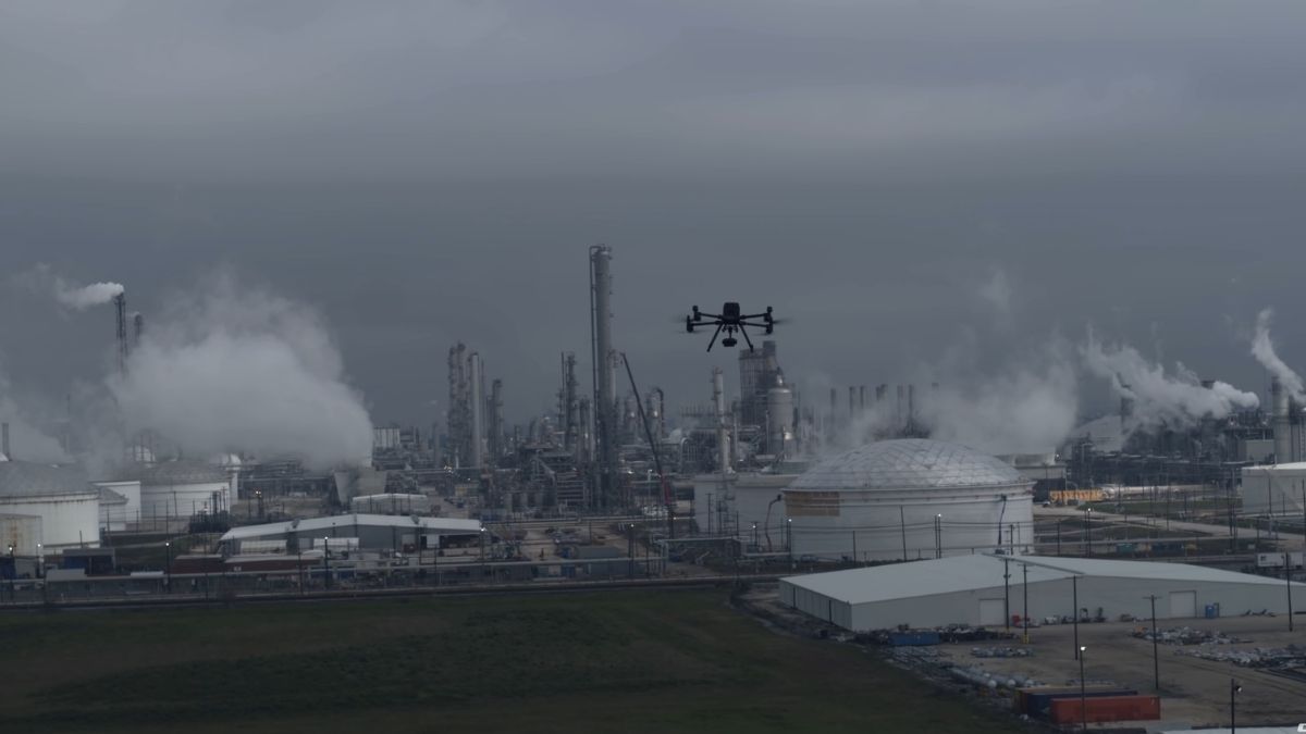
Flare tip condition is difficult to assess from the ground and expensive to assess any other way. Historically it meant a crane, a rope team, or waiting for a turnaround, and a tip that fails between inspections takes the unit with it.
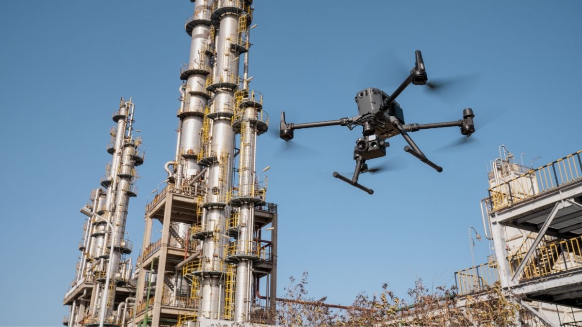
The Zenmuse H30T at £10,560 on a Matrice 400 combines a 40 MP zoom camera at 34x optical zoom with a 1280 x 1024 radiometric thermal sensor and a laser rangefinder measuring to 3,000 m. That combination lets a tip, a pilot assembly or a stack lining be examined in detail from a stand-off distance, with distance to target measured rather than estimated.
- Inspect flare tips, pilots and windshields while the flare remains lit
- Assess stack condition, linings and structural steelwork at zoom
- Measure stand-off distance and clearance using the integrated rangefinder
- Detect refractory degradation and hot spots through thermal signature
- Record condition between turnarounds to inform the next outage scope
TANKS AND STORAGE
Roofs, shells and bund inspection
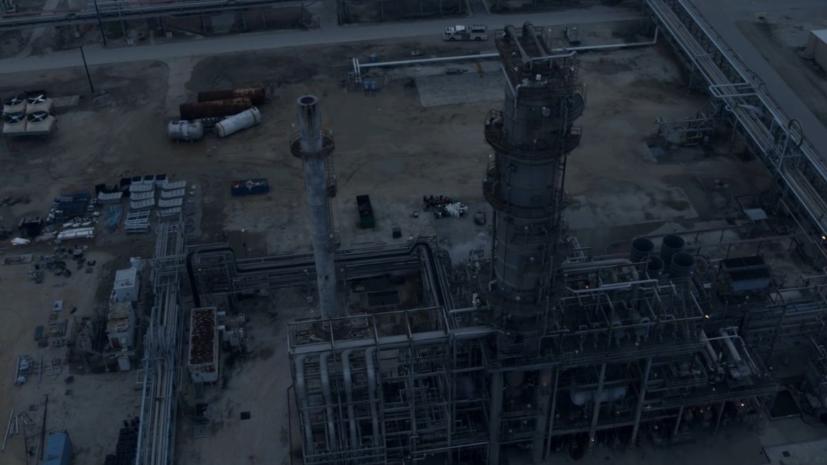
Tank roofs are awkward to walk and awkward to reach, and a floating roof in service is not somewhere to send a person casually. From above, roof plate condition, seal condition, drainage and standing water are all visible in a single pass.
The Matrice 4T at £5,910 runs visible, thermal and telephoto sensors simultaneously with 49 minutes of endurance and 112x hybrid zoom, which covers roof, shell and bund inspection across a tank farm in one visit.
- Inspect roof plates, seals and drainage without walking the roof
- Survey shell condition, coating breakdown and corrosion at zoom
- Check bund integrity, drainage and vegetation encroachment
- Detect product level and thermal stratification signatures through the shell
- Record dated condition evidence across a whole tank farm in one visit
PIPELINES
Route survey and right of way monitoring
Pipeline networks run for miles across ground that is slow to inspect on foot and expensive to inspect by helicopter. Aerial survey covers the route at a consistent standard and produces a positioned record rather than an observation.
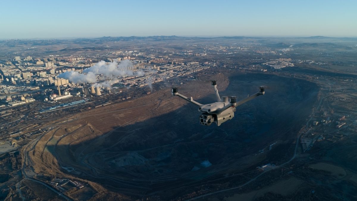
The Matrice 4E at £3,940 captures 20 MP through a factory-calibrated mapping camera with 49 minutes of endurance, producing orthomosaics of the corridor. The Zenmuse L2 and L3 add LiDAR for terrain modelling, vegetation clearance and ground movement analysis along the route.
- Pipeline networks run for miles across ground that is slow to inspect on foot and expensive to inspect by helicopter. Aerial survey covers the route at a consistent standard and produces a positioned record rather than an observation. The Matrice 4E at £3,940 captures 20 MP through a factory-calibrated mapping camera with 49 minutes of endurance, producing orthomosaics of the corridor. The Zenmuse L2 and L3 add LiDAR for terrain modelling, vegetation clearance and ground movement analysis along the route.
- Model terrain and detect subsidence or ground movement along the route
- Monitor vegetation growth against clearance requirements
- Record exposed sections, river crossings and above ground installations
- Support route selection and construction survey for new infrastructure
TERMINALS AND RESPONSE
Site survey, perimeter and incident support
Terminals combine large footprints with continuous operation, and much of the site is ordinary industrial ground rather than classified area. Progress survey for construction and modification work, perimeter and security patrol, roof and building inspection, and stockpile or civils measurement all sit comfortably within what these aircraft do.
For incident support, thermal and zoom imagery from a safe distance gives an incident commander a view of a developing situation before anyone commits to approaching it. DJI Dock 3 with a Matrice 4TD at £16,795 flies scheduled routes unattended through DJI FlightHub 2, which suits perimeter and routine coverage where travel dominates cost.
- Survey construction, modification and civils work against programme
- Patrol perimeters, fence lines and access points on a schedule
- Inspect buildings, roofs and non-process infrastructure
- Support incident response with thermal and zoom imagery from a safe distance
- Record dated site conditions for compliance and environmental reporting
LIMITATIONS
What we cannot supply for this sector
Gas leak detection. DJI thermal payloads are radiometric longwave infrared cameras. They measure temperature, not gas concentration, and they cannot see methane or most VOCs. Optical gas imaging requires spectral filtering around 3.3 μm, and no DJI payload offers it. Aerial gas detection needs a dedicated OGI camera or a laser methane sensor, neither of which is in the DJI range.
Classified area flight. Covered above. No DJI aircraft carries ATEX or IECEx certification, and no amount of procedure makes an uncertified aircraft compliant inside a live Zone 0, 1 or 2.
Confined space and internal inspection. Tank interiors, vessels, columns and ducting need a caged, GPS-denied platform built for the job. DJI does not make one. That market sits with specialist manufacturers and we would point you toward them rather than sell you something unsuitable.
Thermal indicates, it does not diagnose. A hot spot on a stack or a thermal signature on a tank shell tells you where to investigate. Establishing cause remains an engineering assessment, and reports referencing thermographic standards generally need a Level 2 or Level 3 certified thermographer behind them.
Drone Solutions for Oil and Gas
Enhance your terminal and pipeline inspection with drone technology
CAPABILITIES
What stand-off inspection requires
Working from outside a classified boundary puts the demand on optical reach and measurement rather than on getting close. The specifications below are what make that approach viable.
Optical zoom reach
A 40 MP zoom camera at 34x optical zoom resolving flanges, welds and fixings from well outside the hazardous area boundary.
Radiometric thermal
Temperature recorded per pixel to ±2°C or ±2% in high gain mode, producing measured values for trend analysis rather than relative brightness.
Laser rangefinder
Distance to target measured to 3,000 m rather than estimated, supporting clearance and stand-off management around live plant.
High thermal resolution
1280 x 1024 infrared, four times the thermal detail of a 640 x 512 sensor at the same distance, which is what makes stand-off thermal usable.
Endurance
Up to 59 minutes airborne, enough to complete a stack or a tank farm without a battery change mid-inspection.
Weather rating
IP55 airframes rated from -30°C to 50°C, so inspection programmes run through winter at exposed coastal terminals.
Obstacle sensing
Rotating LiDAR and six-direction mmWave radar for awareness around pipe racks, steelwork and process structures.
Centimetre positioning
RTK ties every capture to a centimetre-accurate position, so a defect can be relocated by someone who was not on the flight.
Automated repeat missions
Scheduled routes through DJI FlightHub 2 and Dock 3, producing directly comparable datasets between inspections.
WHO WE WORK WITH
Supplying UK industrial inspection since 2015
Terminal operators, pipeline businesses, inspection contractors, engineering consultancies and industrial asset owners buy their equipment from us. We are a DJI Enterprise A-Rank retailer, DJI's highest authorised retail tier, ISO 9001 certified, and YPO-approved for public sector procurement. We supply the aircraft, train the crew that flies it, and repair it in house when something goes wrong.
WHY DRONE SAFE STORE
Support beyond the purchase
Choosing the right aircraft is only the beginning. We support your operation from equipment selection and configuration through to training, rental, servicing and repair, all from our base in Chichester. We are a DJI Enterprise A-Rank retailer, ISO 9001 certified and a YPO-approved supplier for Drones and Associated Services. This gives operators, contractors and consultancies access to specialist DJI equipment and established procurement routes. You are also welcome to handle the aircraft at our DJI Experience Centre in Chichester, Monday to Saturday, before committing.
Accreditation
 Armed Forces Covenant
Proudly supporting the Armed Forces community and veterans.
Armed Forces Covenant
Proudly supporting the Armed Forces community and veterans.
 ISO 9001 Certified
Certified quality management systems for consistent service and customer satisfaction.
ISO 9001 Certified
Certified quality management systems for consistent service and customer satisfaction.
 DJI Enterprise A Rank Retailer
DJI's highest level of authorised retail and technical expertise.
DJI Enterprise A Rank Retailer
DJI's highest level of authorised retail and technical expertise.
 D-U-N-S® Registered
Globally recognised business identity, verified for international trade. Number: 221162020
D-U-N-S® Registered
Globally recognised business identity, verified for international trade. Number: 221162020
 Financial Conduct Authority
Authorised and regulated by the FCA for consumer finance activities.
Financial Conduct Authority
Authorised and regulated by the FCA for consumer finance activities.
 YPO Approved Supplier
Approved on the YPO framework as a supplier for Drones & Associated Services to help the Public Sector
YPO Approved Supplier
Approved on the YPO framework as a supplier for Drones & Associated Services to help the Public Sector
Get In Touch
Speak to Our Team
Speak to a Gas and Oil Drone Specialist Today