
Drones for Agriculture
Multispectral crop monitoring, field mapping and land management
Crop stress shows in the near-infrared and red edge bands days before it becomes visible from the cab. A multispectral survey flown at the right growth stage identifies variability across a field while there is still time to act on it, which is the difference between managing a problem and recording one. Drone Safe Store supplies UK farms, agronomists, agricultural contractors and land management organisations with DJI multispectral and mapping aircraft, RTK positioning, and the processing software that turns captured imagery into prescription maps and field records. As a DJI Enterprise A-Rank retailer, ISO 9001 certified and a YPO-approved supplier, we hold agricultural hardware in UK stock in Chichester and configure it before dispatch. Call 01243 859444 to talk through your acreage and cropping.
CROP MONITORING
Seeing stress before it becomes visible
Healthy vegetation reflects strongly in near-infrared and absorbs in red. As a plant comes under stress, that relationship shifts, and it shifts measurably before any change appears to the eye. Capturing those bands turns a walked inspection into a measured one.
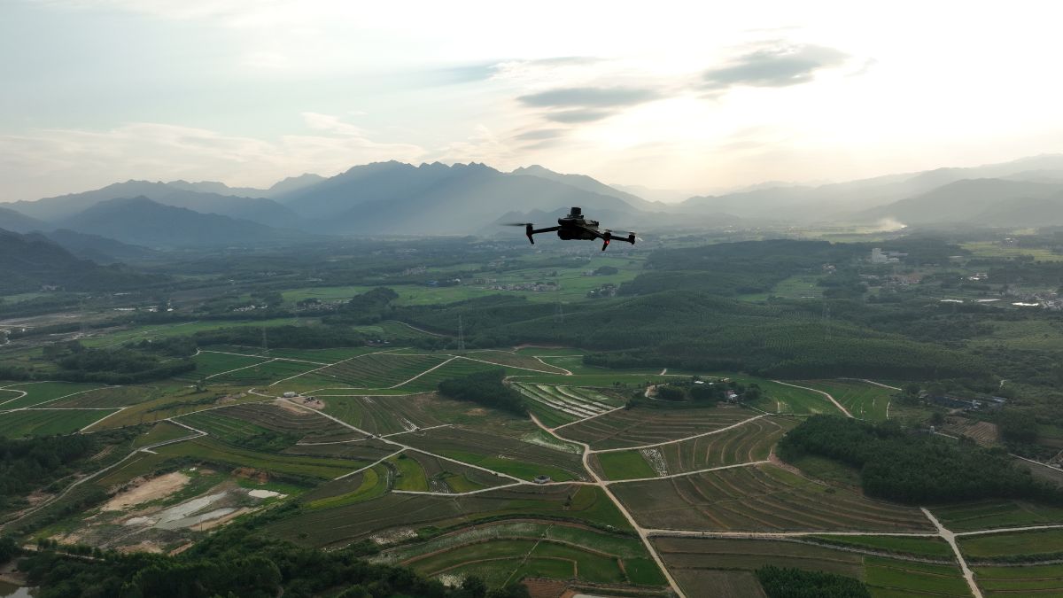
The DJI Mavic 3 Multispectral at £3,926 carries four 5 MP multispectral cameras covering green, red, red edge and near-infrared alongside a 20 MP RGB camera. An integrated sunlight sensor corrects for ambient light, which is what allows surveys flown weeks apart in different conditions to be compared against one another rather than treated as separate datasets.
Coverage runs to 200 hectares per flight at 43 minutes of endurance, and RTK positioning ties every frame to a centimetre-accurate location.
- Identify nutrient deficiency, disease and water stress ahead of visible symptoms
- Map in-field variability to inform variable-rate nitrogen and fungicide planning
- Compare growth stages across the season with radiometrically consistent data
- Assess establishment and plant population after drilling
- Evidence crop damage and yield loss for insurance and scheme compliance
FIELD MAPPING
Measurement, records and boundaries
Aerial survey produces measurable records: field areas, drainage lines, boundary positions, building footprints, tracks and yard layouts. Anything requiring evidence, a scheme application, a drainage design, a boundary dispute, a tenancy record, is better supported by a dated orthomosaic than by a description.
The DJI Matrice 4E at £3,940 captures 20 MP through a factory-calibrated 4/3 CMOS mapping camera with 49 minutes of endurance, producing orthomosaics and terrain models across whole holdings. DJI Terra processes both RGB and multispectral capture into 2D maps, 3D models, index maps and volumetric calculations.
Where absolute positional accuracy matters, the D-RTK 3 Multifunctional Station at £1,369 supplies corrections from a base station on site across five GNSS constellations, without depending on mobile coverage. Rural holdings are exactly where network RTK performs worst. Emlid GNSS receivers cover the same job on foot, from the Reach RS3 at £2,699 to the Reach RS4 at £3,599, and an RTK network subscription removes the need for a base station where signal allows.
For work requiring verified accuracy, Goecke ground control points from £10 each give photogrammetry clean, identifiable reference marks. Cheap insurance on any survey a third party will rely on.
- Measure field areas and cropped hectares for scheme applications and record keeping
- Model surface water movement and drainage fall across sloping ground
- Calculate silage clamp, muck heap and aggregate volumes
- Record dated site evidence for tenancy, planning and boundary purposes
- Survey buildings, tracks and infrastructure for maintenance and development planning
LIVESTOCK AND LAND
Stock checking and land management
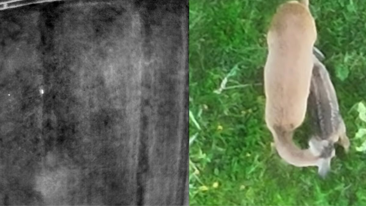
Thermal imaging locates animals in cover, at distance and in darkness, which makes stock checking across large or difficult ground considerably faster than doing it on foot or by quad.
The Mavic 3 Thermal at £4,839 pairs a 640 x 512 radiometric thermal sensor with 56x hybrid zoom, and deploys quickly enough to be practical as a routine task rather than an exercise. For larger holdings, the Matrice 4T at £5,910 adds 49 minutes of endurance and longer-range zoom.
- Locate stock across large parcels, woodland edge and difficult ground
- Check outlying groups in darkness or poor visibility
- Search for missing or cast animals in cover
- Monitor hedgerow, woodland and habitat condition for stewardship compliance
- Inspect roofs, guttering and yard infrastructure without ladders
LIMITATIONS
What aerial survey will not do
Index maps show variability, not cause. A low NDVI area tells you something is wrong at that point in the field. Distinguishing nitrogen deficiency from compaction, disease or water logging still requires ground truthing, and the survey's value is in telling you exactly where to walk.
Radiometric consistency depends on discipline. The sunlight sensor corrects for ambient light, but comparable data still requires comparable flight parameters: same altitude, same time of day where practical, same overlap. Inconsistent capture undermines the season-on-season comparison that makes monitoring worthwhile.
Timing governs value. A survey flown at the wrong growth stage produces data you cannot act on. Monitoring works when it is scheduled against the crop calendar rather than flown when someone has a spare afternoon.
Yield prediction is not a direct output. Index maps correlate with yield potential but do not measure it. Treat modelled yield figures as indicative unless calibrated against your own harvest data over several seasons.
CAPABILITIES
What agricultural survey hardware needs to do
Multispectral survey only works if the data is comparable, positioned and captured at a consistent scale. The specifications below are what make that possible across a season rather than in a single flight.
Four-band multispectral
Four 5 MP cameras capturing green, red, red edge and near-infrared simultaneously, the bands crop stress appears in before it shows visually.
Radiometric calibration
An integrated sunlight sensor corrects for changing light conditions, so a survey flown in June compares properly against one flown in April.
200 hectares per flight
Coverage of up to 200 hectares in a single sortie, putting most UK field parcels within one flight.
43-minute endurance
Enough airborne time to complete multi-field survey rounds without returning to the vehicle between parcels.
Centimetre positioning
RTK positioning ties every capture to a centimetre-accurate location, so variability maps overlay correctly on machinery guidance.
Terrain-follow surveying
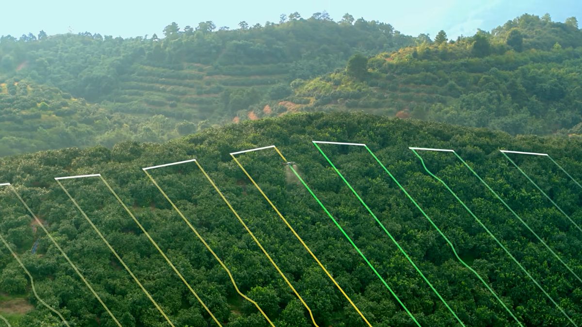
Maintains consistent height above sloping ground and orchard canopy, holding image scale constant across undulating parcels.
Prescription mapping
NDVI, GNDVI and NDRE indices processed in DJI Terra into prescription maps for variable-rate application.
20 MP RGB mapping
A 4/3 CMOS camera with mechanical shutter captures distortion-free imagery for orthomosaics and field records alongside the multispectral pass.
Obstacle sensing
Omnidirectional sensing maintains awareness around treelines, poles and orchard rows where automated routes run close to obstacles.
WHY DRONE SAFE STORE
Support beyond the purchase
Choosing the right aircraft is only the beginning. We support your operation from equipment selection and configuration through to training, rental, servicing and repair, all from our base in Chichester. We are a DJI Enterprise A-Rank retailer, ISO 9001 certified and a YPO-approved supplier for Drones and Associated Services. This gives farms, agronomists, contractors, estates and public sector land managers access to specialist DJI equipment and established procurement routes. Enterprise equipment can be configured, updated and tested before dispatch, while our training team provides A2 CofC, GVC and one-to-one instruction. We also offer equipment rental, in-house DJI servicing and repair, and access to our DJI Experience Centre in Chichester.
WHO WE WORK WITH
Supplying UK agriculture since 2015
Farms, agronomists, agricultural contractors, estate managers and land management organisations buy their survey equipment from us. We are a DJI Enterprise A-Rank retailer, DJI's highest authorised retail tier, ISO 9001 certified, and YPO-approved for public sector procurement. We supply the aircraft, train the crew that flies it, and repair it in house when something goes wrong.
Accreditation
 Armed Forces Covenant
Proudly supporting the Armed Forces community and veterans.
Armed Forces Covenant
Proudly supporting the Armed Forces community and veterans.
 ISO 9001 Certified
Certified quality management systems for consistent service and customer satisfaction.
ISO 9001 Certified
Certified quality management systems for consistent service and customer satisfaction.
 DJI Enterprise A Rank Retailer
DJI's highest level of authorised retail and technical expertise.
DJI Enterprise A Rank Retailer
DJI's highest level of authorised retail and technical expertise.
 D-U-N-S® Registered
Globally recognised business identity, verified for international trade. Number: 221162020
D-U-N-S® Registered
Globally recognised business identity, verified for international trade. Number: 221162020
 Financial Conduct Authority
Authorised and regulated by the FCA for consumer finance activities.
Financial Conduct Authority
Authorised and regulated by the FCA for consumer finance activities.
 YPO Approved Supplier
Approved on the YPO framework as a supplier for Drones & Associated Services to help the Public Sector
YPO Approved Supplier
Approved on the YPO framework as a supplier for Drones & Associated Services to help the Public Sector
Get In Touch
Speak to an agricultural specialist
Equipment choice depends on your cropping, your acreage and what you intend to do with the data. Tell us about the holding and we will tell you what it actually requires. Call 01243 859444 or send the form below.