
Drones for Research and Education
Repeatable, publishable field data for universities, research institutes and colleges
Research data has to survive review. That means capture which is calibrated, positioned, documented and repeatable, rather than imagery that looks convincing. Aerial platforms deliver that across sites and timescales that ground survey cannot cover on a research budget.
ENVIRONMENTAL AND ECOLOGICAL
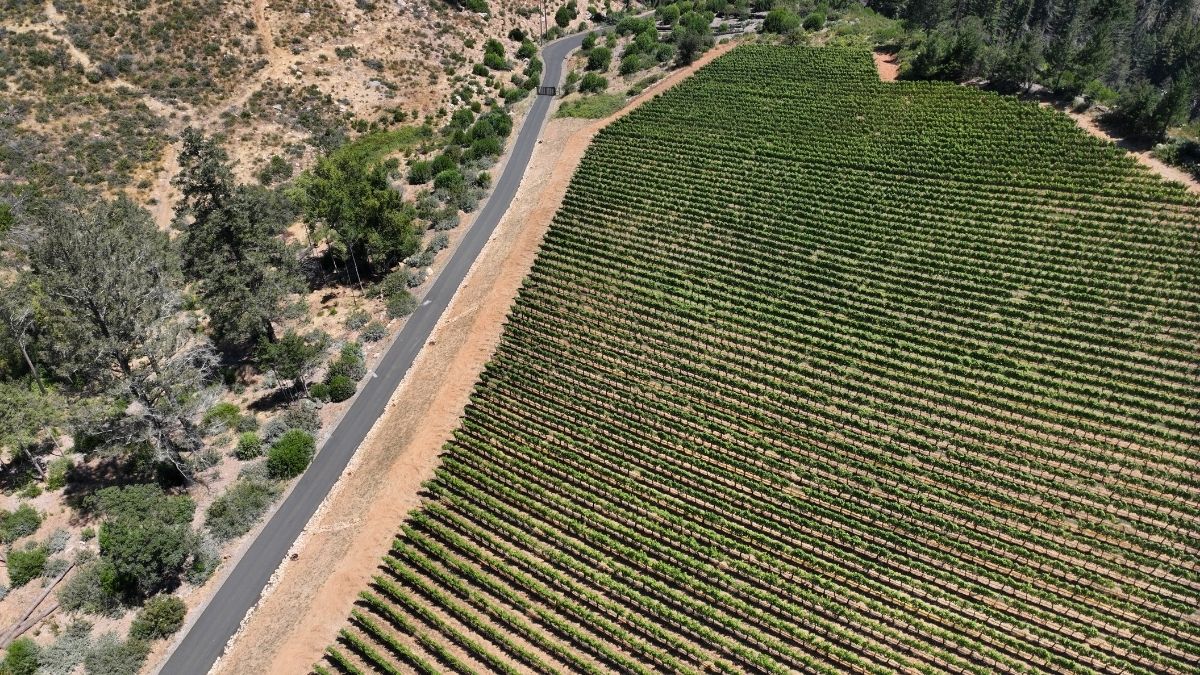
Habitat, vegetation and wildlife research
Multispectral capture measures vegetation condition rather than describing it. Because the DJI Mavic 3 Multispectral at £3,926 records solar irradiance alongside every frame, index values from a survey flown in spring remain comparable against one flown in autumn. That comparability is what makes a monitoring series publishable rather than anecdotal.
Coverage runs to 200 hectares per flight at 43 minutes of endurance, which puts most survey sites and field stations within a single sortie.
For wildlife and nocturnal work, the Mavic 3 Thermal at £4,839 detects animals in cover and in darkness. Population survey, roost counts and nocturnal behaviour studies all become practical where ground observation would disturb the subject or miss it entirely.
Working responsibly with wildlife
Disturbing certain species is an offence regardless of intent, and Schedule 1 birds carry specific protection at the nest requiring a licence from the relevant statutory nature conservation body. Approach distances, flight height and timing all sit inside that assessment, and institutional ethics approval usually applies alongside it.
Talk to your ecology lead and the relevant SNCB before planning wildlife work. We can advise on equipment. We cannot advise on licensing, and anyone telling you the aircraft makes it a non-issue is wrong.
- Measure vegetation condition, phenology and stress across a site through the season
- Map habitat extent and boundary change for condition assessment and reporting
- Survey populations and roosts thermally with less disturbance than ground approach
- Monitor invasive species spread and restoration progress against a fixed baseline
- Sample at landscape scale rather than at the scale a field team can walk
ARCHAEOLOGY AND HERITAGE
Excavation recording and landscape survey
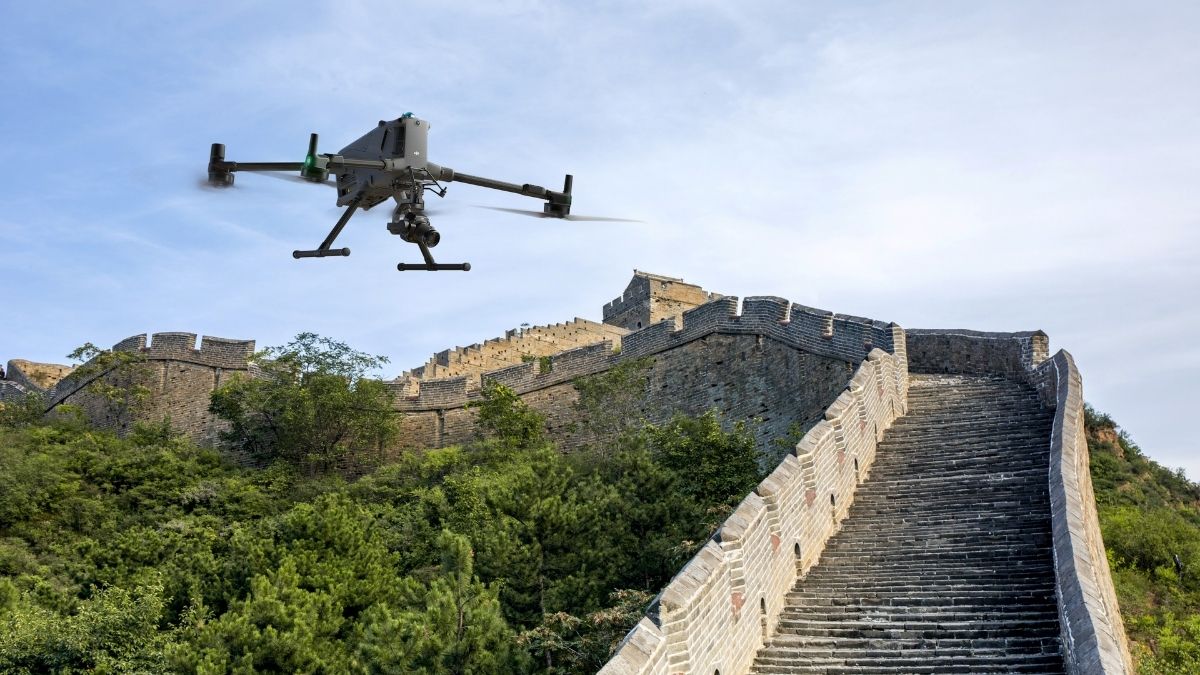
Photogrammetric recording captures an excavation as it is dug, producing a measurable 3D record of each context before it is removed. That record can be revisited, remeasured and reinterpreted long after the trench has been backfilled.
The DJI Matrice 4E at £3,940 captures 20 MP through a factory-calibrated mapping camera with five-directional oblique capture in a single automated pass, which suits both plan recording and standing structure work. DJI Terra reconstructs the capture into orthomosaics, meshes and point clouds.
For landscape archaeology, LiDAR reaches ground beneath vegetation that no photographic method can penetrate. The Zenmuse L2 returns 4 cm vertical accuracy at 150 m with up to five returns per pulse, and the Zenmuse L3 improves that to 3 cm vertical at 120 m with up to 16 returns.
- Record contexts and sections photogrammetrically as excavation proceeds
- Model standing buildings and monuments for condition recording and conservation planning
- Detect earthworks and landscape features beneath vegetation with LiDAR
- Produce measurable archive records that outlast the intervention itself
- Survey at landscape scale for research questions ground survey cannot address
FORESTRY AND VEGETATION SCIENCE
Canopy, structure and biomass research
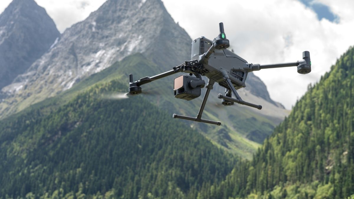
LiDAR measures vegetation in three dimensions. Multi-return capture separates canopy, understorey and ground within a single pass, supporting canopy height models, structural analysis and terrain modelling beneath tree cover.
The Zenmuse L3 carries a 1535 nm laser with beam divergence of 0.25 mrad, producing a spot roughly one fifth the size of the L2's, which is what allows individual branches to be resolved rather than averaged into surrounding returns. Selectable Linear, Star-Shaped and Non-Repetitive scanning modes let capture geometry be matched to the research question.
- Generate canopy height models from classified ground and vegetation returns
- Analyse stand structure, stem density and gap dynamics
- Model terrain beneath canopy where photogrammetry returns only the canopy surface
- Track growth, disturbance and regeneration against a repeatable baseline
- Combine LiDAR structure with multispectral condition data across the same site
TEACHING AND PROVISION
Equipping courses and qualifying staff
Institutions teaching surveying, geography, ecology, archaeology, engineering or environmental science increasingly need aircraft their students will meet in industry. Teaching on the same platforms a graduate will use professionally is worth more than teaching on something cheaper.
We deliver the CAA training alongside the hardware. The A2CofC Online Training Course covers the entry route, the GVC Course covers operations requiring an Operational Authorisation, and 1-1 in-person training suits research staff learning on the aircraft their project has bought.
- Purchase through YPO framework arrangements without running a fresh tender
- Qualify research staff, technicians and students through A2 CofC and GVC
- Equip teaching fleets with the platforms students will meet in professional practice
- Hire equipment for a single field season rather than committing capital
- Reduce cost through Approved Used and Open Box stock where budgets are fixed
LIMITATIONS
What to be realistic about
Radiometric consistency is a discipline, not a feature. The sunlight sensor corrects for ambient light, but comparability still depends on consistent altitude, overlap, time of day and flight parameters. Inconsistent capture undermines exactly the comparison a monitoring series exists to make.
Index values are relative unless you calibrate them. For work requiring absolute reflectance, a calibrated reference panel and a documented processing chain are needed alongside the sunlight sensor. Reviewers will ask.
Document your method as you go. Sensor, firmware, flight parameters, ground control, processing software and version all belong in the record. Reconstructing them afterwards is difficult and weakens the paper.
Drone LiDAR does not penetrate water. The L2 and L3 use near-infrared wavelengths that water absorbs. Bathymetric work requires green-wavelength LiDAR or sonar, neither of which exists in the DJI range.
Aerial survey samples the surface. It complements ground truthing and quadrat work rather than replacing them, and the strongest studies use it to direct field effort rather than substitute for it.
CHOOSING YOUR EQUIPMENT
Matching the platform to the research question
DJI Mavic 3 Multispectral - £3,926
Four-band multispectral plus a 20 MP RGB camera, RTK positioning, 43 minutes of endurance and 200 hectares per flight. The core platform for vegetation, habitat and phenology research.
DJI Matrice 4E - £3,940
20 MP factory-calibrated mapping camera outputting DNG RAW, five-directional oblique capture, 49 minutes of endurance. For photogrammetric recording, excavation survey and landscape mapping.
DJI Mavic 3 Thermal - £4,839
640 x 512 radiometric thermal with 56x hybrid zoom, rapidly deployable by a single operator. For wildlife survey, nocturnal work and thermal research.
DJI Matrice 400 with Zenmuse L2 or L3
The LiDAR route. The L2 returns 4 cm vertical accuracy at 150 m with five returns per pulse. The L3 improves that to 3 cm at 120 m with up to 16 returns and finer beam divergence. For forestry, landscape archaeology and structural vegetation research.
D-RTK 3 Multifunctional Station - £1,369
Base station corrections across five GNSS constellations, independent of mobile coverage. Essential at remote field sites where network RTK does not reach. Pair with Goecke ground control points from £10 for checkable accuracy.
Drone Solutions for Research and Education
Enhance your research and teaching with drone technology
CAPABILITIES
What research-grade Capture Requiresq
The difference between a research dataset and an aerial photograph is documentation: calibrated sensors, known positions, recorded conditions and repeatable routes. The specifications below are what make capture defensible under review.
Four-band multispectral
Four 5 MP cameras capturing green, red, red edge and near-infrared simultaneously, supporting NDVI, NDRE, GNDVI and custom index derivation.
Radiometric calibration
An integrated sunlight sensor records solar irradiance per frame, allowing light compensation so captures separated by weeks remain comparable.
Radiometric thermal
Temperature recorded per pixel to ±2°C or ±2% in high gain mode, producing measured values rather than relative brightness.
Multi-return LiDAR
Up to 16 returns per pulse, recovering ground and understorey beneath canopy where photogrammetry cannot see.
Centimetre positioning
RTK ties every capture to a centimetre-accurate position, so repeat surveys register against one another and against existing survey control.
20 MP mapping camera
A factory-calibrated 4/3 CMOS sensor with mechanical shutter, outputting DNG RAW directly compatible with photogrammetry pipelines.
Repeatable automated routes
Identical flight lines flown to a saved plan, holding altitude, overlap and gimbal angle constant across a monitoring series.
Open output formats
RAW imagery, 8 and 16-bit TIFF multispectral, and LAS point clouds, so data moves into your own analysis rather than staying in a vendor pipeline.
Custom payload integration
DJI Payload SDK support on enterprise platforms for research groups integrating their own sensors.
WHO WE WORK WITH
Supplying UK research and education since 2015
Universities, research institutes, field stations, ecological consultancies and further education colleges buy their equipment from us. We are a DJI Enterprise A-Rank retailer, DJI's highest authorised retail tier, ISO 9001 certified, and YPO-approved for public sector procurement. We supply the aircraft, train the crew that flies it, and repair it in house when something goes wrong.
WHY DRONE SAFE STORE
Support beyond the purchase
Choosing the right aircraft is only the beginning. We support your department from equipment selection and configuration through to training, rental, servicing and repair, all from our base in Chichester. We are a DJI Enterprise A-Rank retailer, ISO 9001 certified and a YPO-approved supplier for Drones and Associated Services. This lets universities, colleges and publicly funded research bodies purchase through existing framework arrangements rather than running a fresh tender. You are also welcome to bring a research group to our DJI Experience Centre in Chichester, Monday to Saturday.
Accreditation
 Armed Forces Covenant
Proudly supporting the Armed Forces community and veterans.
Armed Forces Covenant
Proudly supporting the Armed Forces community and veterans.
 ISO 9001 Certified
Certified quality management systems for consistent service and customer satisfaction.
ISO 9001 Certified
Certified quality management systems for consistent service and customer satisfaction.
 DJI Enterprise A Rank Retailer
DJI's highest level of authorised retail and technical expertise.
DJI Enterprise A Rank Retailer
DJI's highest level of authorised retail and technical expertise.
 D-U-N-S® Registered
Globally recognised business identity, verified for international trade. Number: 221162020
D-U-N-S® Registered
Globally recognised business identity, verified for international trade. Number: 221162020
 Financial Conduct Authority
Authorised and regulated by the FCA for consumer finance activities.
Financial Conduct Authority
Authorised and regulated by the FCA for consumer finance activities.
 YPO Approved Supplier
Approved on the YPO framework as a supplier for Drones & Associated Services to help the Public Sector
YPO Approved Supplier
Approved on the YPO framework as a supplier for Drones & Associated Services to help the Public Sector
Get In Touch
Speak to Our Team
Speak to our team about your research programme