
Drones for Inspection
Thermal, visual and photogrammetric inspection of buildings, structures and industrial assets
Inspection work is limited by access more than by anything else. Scaffolding, MEWPs, rope access and shutdowns all cost money and time before a single defect has been recorded. Flying the sensor to the asset removes most of that cost and puts a camera where a person cannot easily stand.
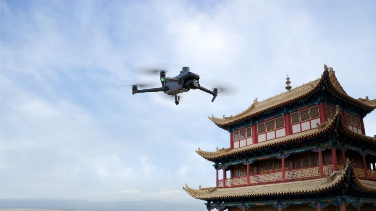
BUILDINGS AND ROOFS
Roof, facade and building envelope inspection
Commercial roofs are inspected rarely because inspecting them is awkward. Access equipment, edge protection and a competent person add up to a cost that gets deferred until a leak forces the issue, by which point the repair is larger.
The Mavic 3 Thermal at £4,839 pairs a 640 x 512 radiometric sensor with 56x hybrid zoom in an airframe a single operator deploys in minutes, which makes routine roof checks practical rather than exceptional. For larger portfolios and taller buildings, the Matrice 4T at £5,910 adds 49 minutes of endurance, 112x hybrid zoom and a laser rangefinder to 1,800 m.
- Inspect membrane condition, flashing, upstands and rooflights without access equipment
- Locate water ingress paths and trapped moisture through thermal differential
- Assess facades, render, pointing and cladding fixings at zoom
- Survey gutters, downpipes and parapets across a portfolio in a single visit
- Record dated evidence for dilapidations, insurance and planned maintenance
STRUCTURES AND BRIDGES
Bridge, structural and confined-access inspection
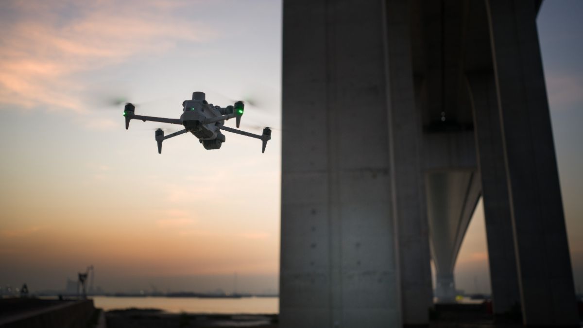
Bridge inspection traditionally means traffic management, an under-bridge unit, or rope access, all of which carry cost and disruption before any defect is found. Aerial inspection reaches soffits, bearings, piers and parapets without closing a lane.
The Matrice 4T covers most structural work, running visible, thermal and telephoto sensors simultaneously so a crack can be zoomed, measured against the rangefinder and thermally checked for water tracking in one pass. Where the structure needs modelling rather than photographing, the Matrice 4E at £3,940 captures 20 MP through a factory-calibrated mapping camera, with five-directional oblique capture in a single automated pass.
DJI Terra reconstructs that capture into a measurable 3D model, so defects can be located, dimensioned and annotated within the geometry of the asset rather than described against a photograph.
- Inspect soffits, bearings, piers and abutments without traffic management
- Measure crack widths and spalling extents against a scaled model
- Detect water tracking and delamination through thermal differential
- Model the structure in 3D for annotation, comparison and handover records
- Compare condition between inspections against a consistent baseline
TELECOMS AND MASTS
Tower, mast and antenna inspection
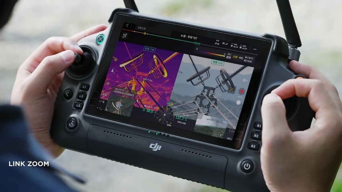
Climbing a mast to check an antenna alignment or a corroded fixing is expensive, slow and carries genuine risk. Zoom inspection from a safe stand-off distance answers most questions without a climb, and reserves rigger time for the work that actually needs hands on steel.
The Zenmuse H30T at £10,560 on a Matrice 400 combines a 40 MP zoom camera at 34x optical zoom with 1280 x 1024 radiometric thermal and a laser rangefinder to 3,000 m. Optical zoom matters more than digital here, since you are reading serial plates, connector condition and fixing corrosion rather than scanning an area.
- Inspect antennas, mounts, feeders and connectors without a climb
- Verify azimuth, tilt and installation against the design record
- Detect overheating connections and water ingress thermally
- Survey steelwork, galvanising condition and lightning protection
- Document the structure photographically before and after a works package
INDUSTRIAL PLANT
Stacks, tanks, cooling towers and process infrastructure
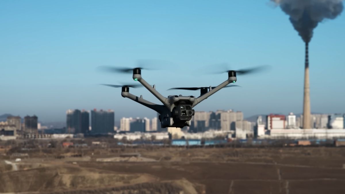
Industrial assets combine height, heat and continuous operation. Much of the equipment cannot be approached during a run, and a shutdown to inspect it costs more than the inspection.
Zoom and thermal from the air reach flare tips, stack linings, tank roofs, cooling tower structure and pipe racks without scaffolding or a process interruption. Radiometric capture records measured values, so a report supports trend analysis between inspections instead of restarting the assessment each time.
For sites needing frequent coverage without a pilot travelling to them, DJI Dock 3 with a Matrice 4TD at £16,795 flies scheduled routes through DJI FlightHub 2 unattended.
- Inspect stacks, flares and vessel exteriors without a shutdown
- Survey tank roofs and bund condition from above
- Monitor refractory and lining condition through thermal signature
- Patrol perimeters and pipe racks on a schedule
- Respond to incidents with thermal and zoom imagery before crews commit
LIMITATIONS
What aerial inspection will not replace
Thermography requires a qualified interpreter. Owning a radiometric camera does not make an operator a thermographer. BS EN ISO 6781-1 work is generally expected to be carried out or signed off by a Level 2 or Level 3 certified thermographer, and a report without that competency behind it will be challenged.
Aerial inspection identifies, it does not diagnose. A thermal anomaly shows where heat, air or moisture is moving. Establishing cause still requires investigation, and in building work that often means intrusive opening up.
It does not replace close visual inspection where standards require it. Many asset classes have inspection regimes specifying tactile or close visual examination at defined intervals. Aerial survey supplements those regimes and targets them. It rarely discharges them on its own.
Conditions govern thermal results. Without a sufficient temperature differential, dry surfaces and an absence of solar gain, a thermal survey of a building envelope proves very little. A clean image taken in the wrong conditions is not evidence of a sound building.
Drone Solutions for Inspection
Elevate your Inspection Capabilities with Drone Technology
CAPABILITIES
What inspection hardware actually has to do
Inspection is a measurement exercise rather than a photography one. The specifications below determine whether a survey produces evidence a client will accept or images somebody has to caveat.
Radiometric thermal
Temperature recorded per pixel to ±2°C or ±2% in high gain mode, so a report states a measured value rather than describing something as warm.
Long-range zoom
Up to 112x hybrid zoom resolves fixings, cracks and corrosion from 250 m, keeping the aircraft clear of the structure it is inspecting.
Laser rangefinder
Distance to target measured to 3,000 m, supporting clearance management and dimensional context on tall or complex assets.
Endurance
Up to 59 minutes airborne, enough to complete a full elevation or structure without a battery change mid-inspection.
Weather rating
IP55 airframes rated from -30°C to 50°C, so inspection programmes run through winter rather than waiting for spring.
Obstacle sensing
Omnidirectional sensing, with LiDAR and mmWave radar on the Matrice 400, for flying close to steelwork, cabling and building edges.
Centimetre positioning
RTK ties every capture to a centimetre-accurate location, so a defect can be found again by someone who was not on the flight.
Automated repeat missions
Scheduled routes flown through DJI FlightHub 2 and DJI Dock 3, producing directly comparable datasets between inspections.
3D reconstruction
Photogrammetric models built in DJI Terra, allowing measurement, annotation and defect location within a model of the asset.
WHO WE WORK WITH
Supplying UK inspection work since 2015
Inspection contractors, building surveyors, facilities and estates teams, engineering consultancies and asset owners buy their equipment from us. We are a DJI Enterprise A-Rank retailer, DJI's highest authorised retail tier, ISO 9001 certified, and YPO-approved for public sector procurement. We supply the aircraft, train the crew that flies it, and repair it in house when something goes wrong.
WHY DRONE SAFE STORE
Support beyond the purchase
Choosing the right aircraft is only the beginning. We support your operation from equipment selection and configuration through to training, rental, servicing and repair, all from our base in Chichester. We are a DJI Enterprise A-Rank retailer, ISO 9001 certified and a YPO-approved supplier for Drones and Associated Services. This gives inspection contractors, surveyors, facilities teams and public sector organisations access to specialist DJI equipment and established procurement routes. You are also welcome to handle the aircraft at our DJI Experience Centre in Chichester, Monday to Saturday, before committing.
Accreditation
 Armed Forces Covenant
Proudly supporting the Armed Forces community and veterans.
Armed Forces Covenant
Proudly supporting the Armed Forces community and veterans.
 ISO 9001 Certified
Certified quality management systems for consistent service and customer satisfaction.
ISO 9001 Certified
Certified quality management systems for consistent service and customer satisfaction.
 DJI Enterprise A Rank Retailer
DJI's highest level of authorised retail and technical expertise.
DJI Enterprise A Rank Retailer
DJI's highest level of authorised retail and technical expertise.
 D-U-N-S® Registered
Globally recognised business identity, verified for international trade. Number: 221162020
D-U-N-S® Registered
Globally recognised business identity, verified for international trade. Number: 221162020
 Financial Conduct Authority
Authorised and regulated by the FCA for consumer finance activities.
Financial Conduct Authority
Authorised and regulated by the FCA for consumer finance activities.
 YPO Approved Supplier
Approved on the YPO framework as a supplier for Drones & Associated Services to help the Public Sector
YPO Approved Supplier
Approved on the YPO framework as a supplier for Drones & Associated Services to help the Public Sector