
DIGITAL CODE
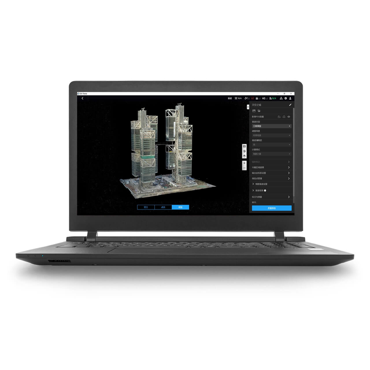
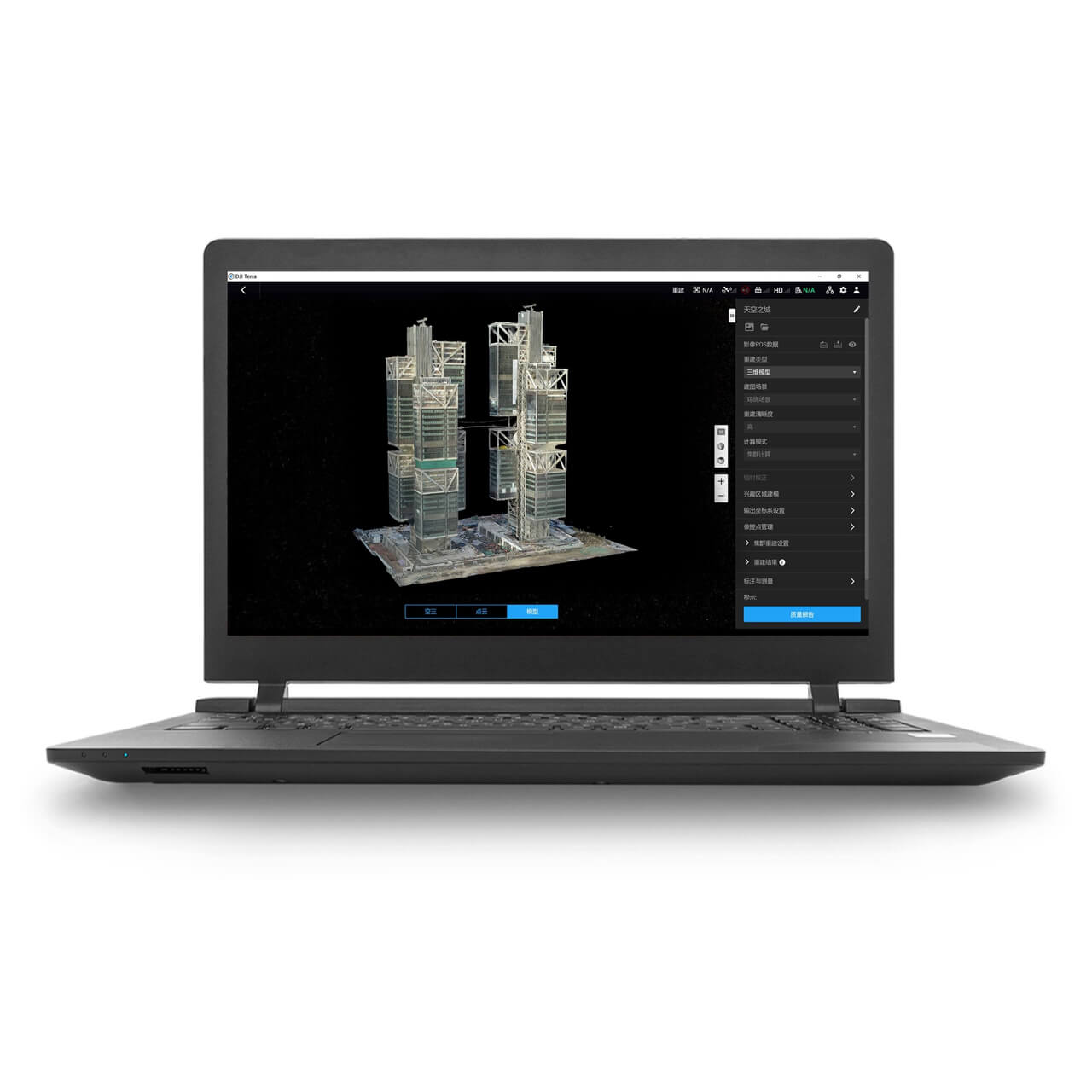
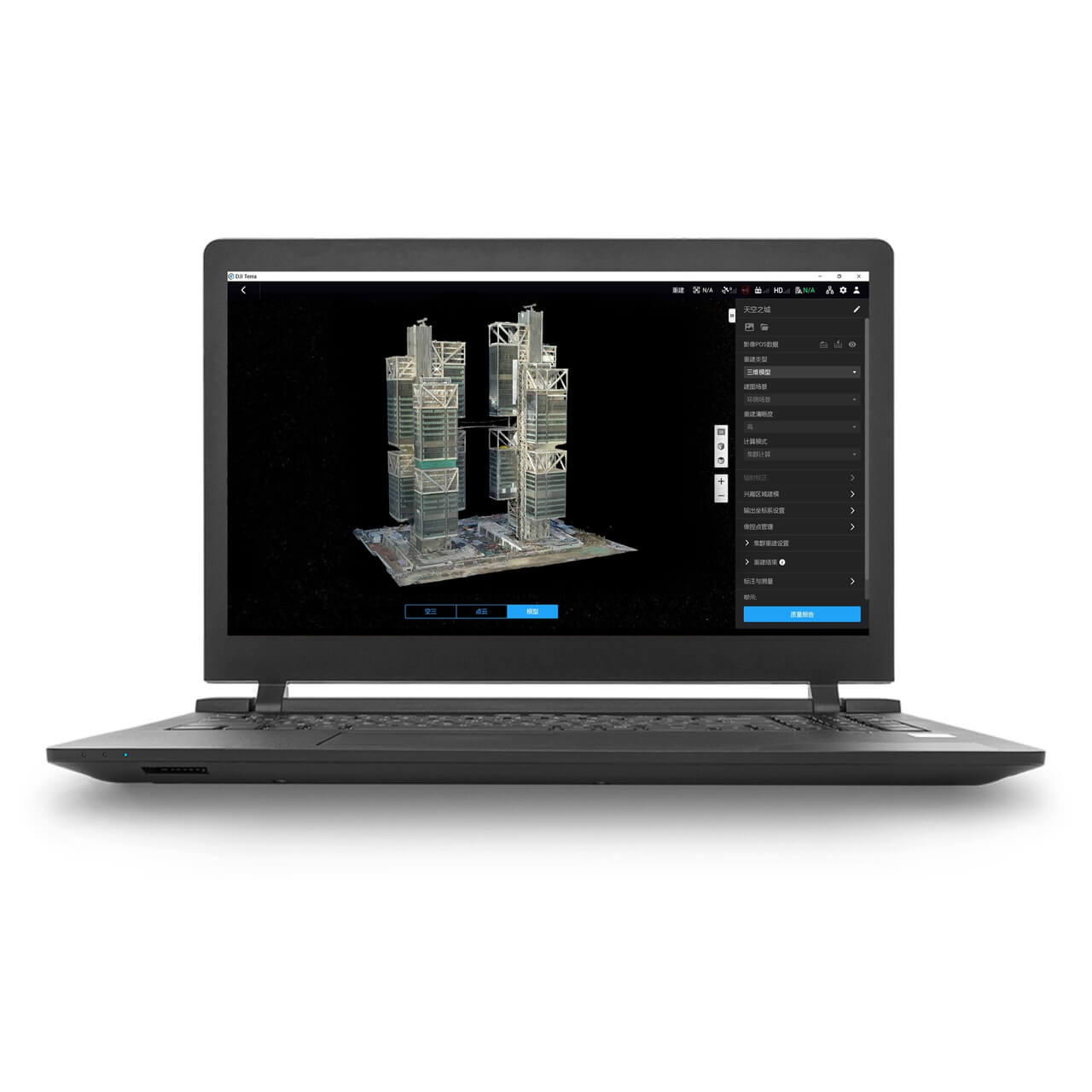
DJI TerraMake the entire planet a digital asset.You can simply map, analyse, and visualise your environment using DJI Terra. This software was developed to aid professionals in converting actual events into digital assets.DJI Terra is a PC application software with features such 2D multispectral reconstruction, LiDAR point cloud processing, and thorough inspection missions. It mostly uses 2D orthophotos and 3D model reconstruction. It is a one-stop shop that offers customers in the business unmatched efficiency, with thorough reconstruction models accommodating verticals like land mapping, power transmission, emergency services, construction, transportation, and agriculture.Drone Safe Store officially sell DJI Terra.Area Mapping3D ModelsImports photos are taken from various perspectives in order to automatically create a realistic 3D model. For picture reconstruction in a variety of situations, such as surveying and mapping, accident scenes, power grid equipment, and progress monitoring for construction projects, there are three resolutions available: high, medium, and low.2D MapsGenerate high-resolution orthomosaics, enabling you to get detailed and accurate measurement results for all your critical projects.LiDARUtilize DJI Terra to process the Zenmuse L1's point cloud data. Create fieldwork reports, combining point cloud and visible light data, export point clouds in specified formats, and calculate POS data all with a single click.MultispectralCreate radiometrically calibrated reflectance maps for remote sensing studies and more using multispectral data from P4 Multispectral, or create vegetation index maps containing NDVI and NDRE. To increase crop yields while lowering expenses, create prescription maps for variable rate application using DJI's Agras drones.
Showing 1–10 of 26 products
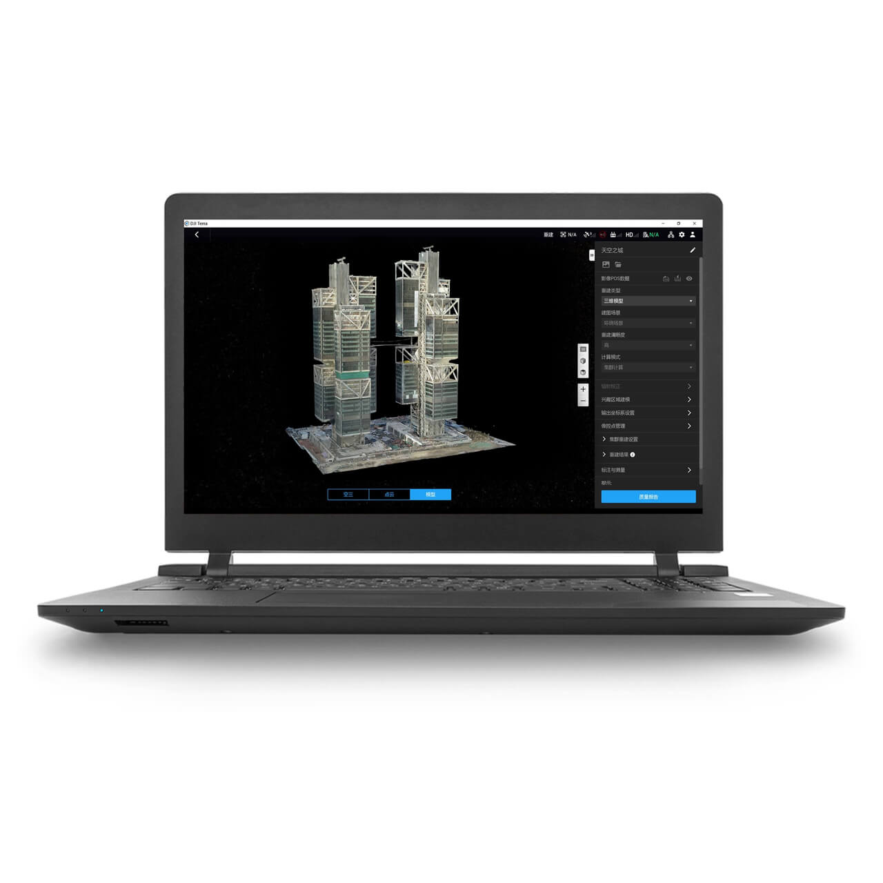
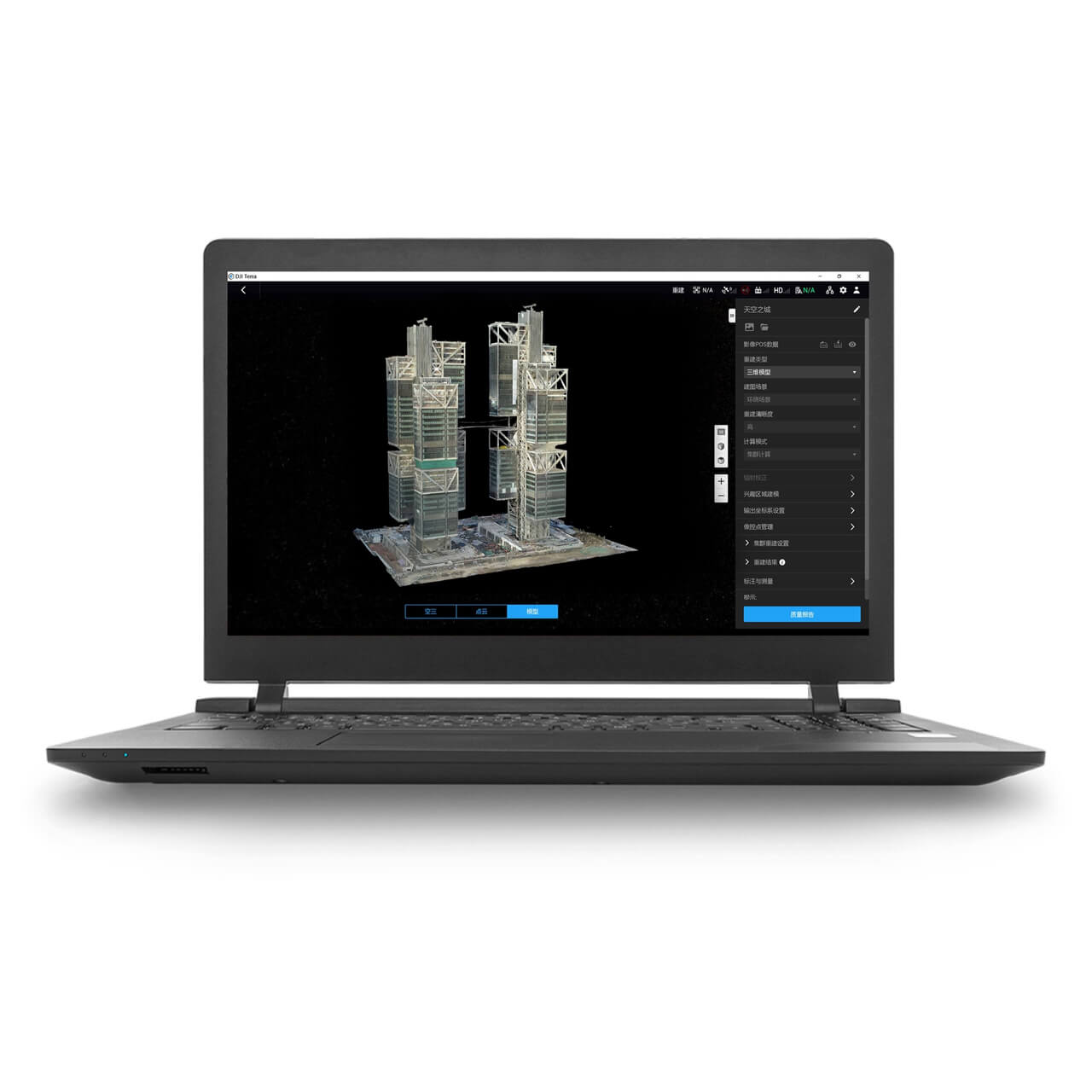
DJI Terra, Modify & Flight Hub 2
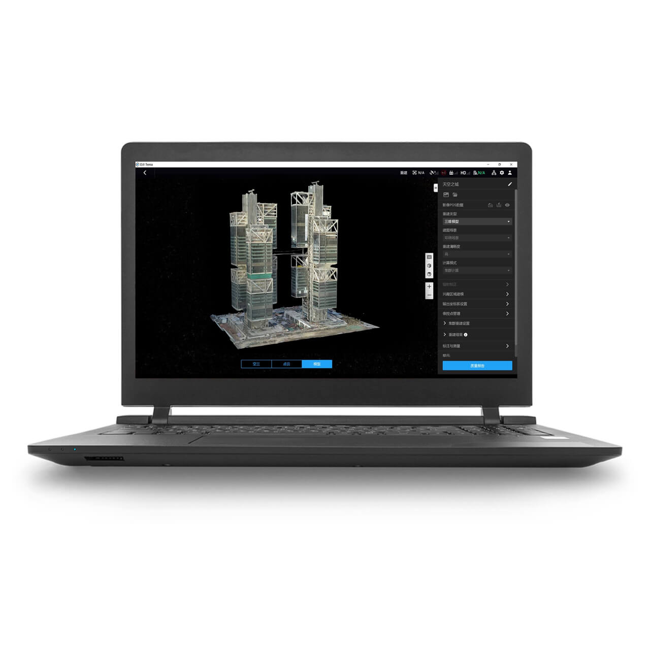
DJI Terra, Modify & Flight Hub 2
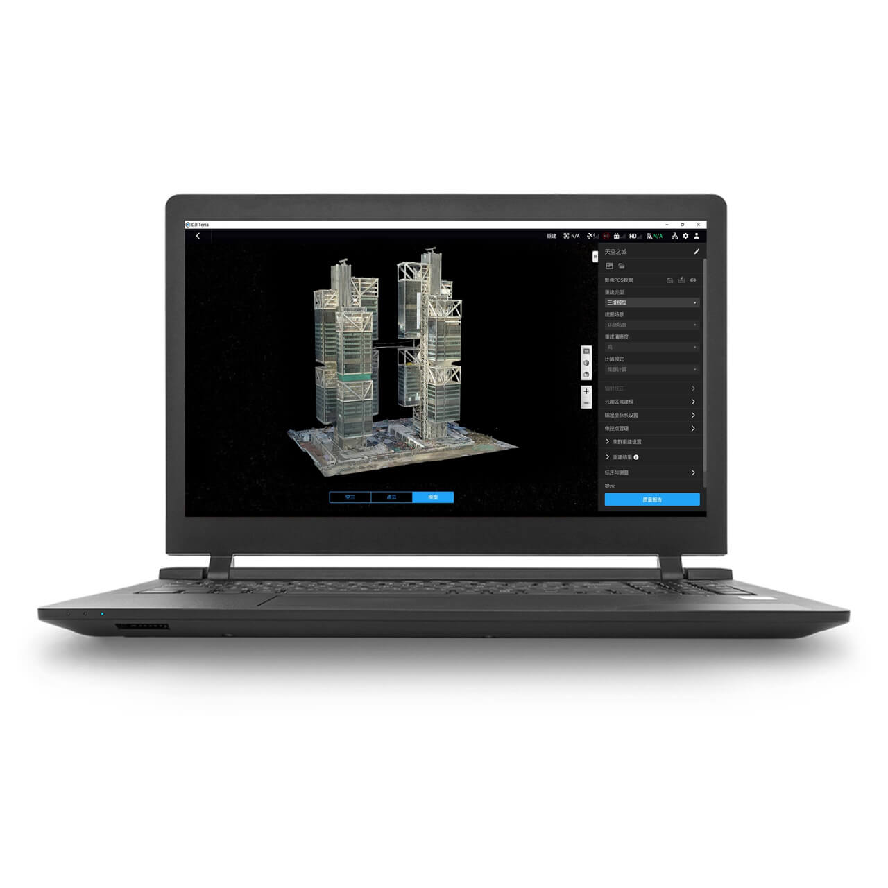
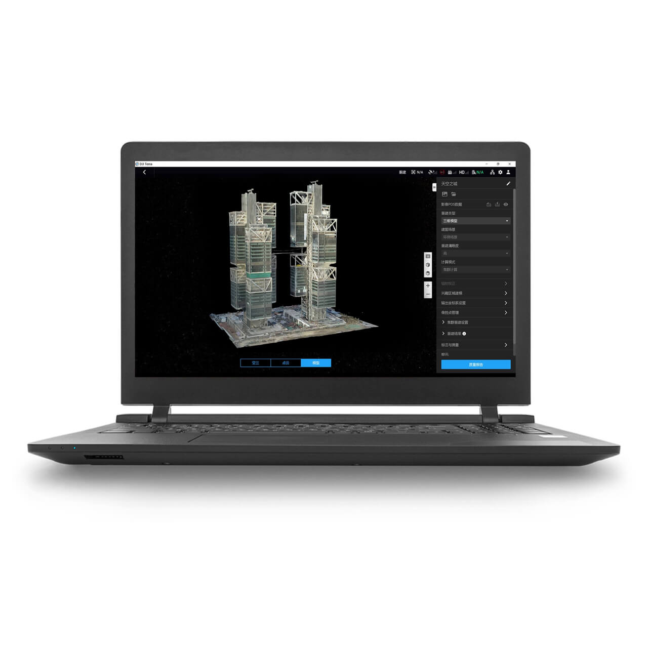
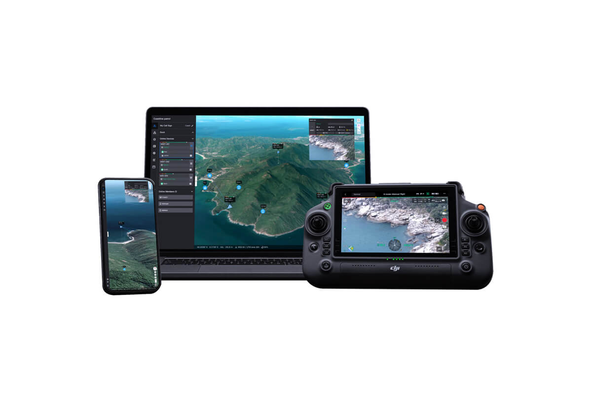
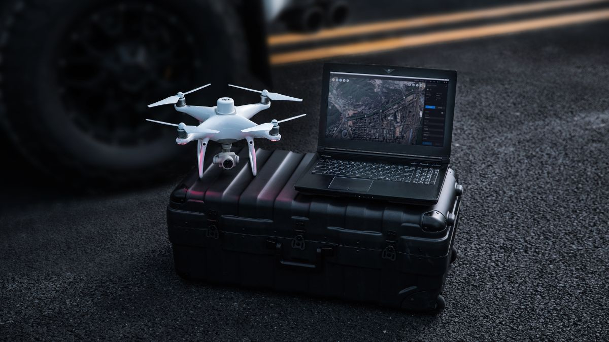
DJI Terra turns drone captured imagery and LiDAR data into deliverable survey outputs: 2D orthomosaics, 3D models, point clouds, and vegetation index maps. DJI Modify handles the cleanup afterwards, repairing mesh errors and preparing models for client delivery. DJI FlightHub 2 manages the operation itself, covering mission planning, live streaming, and fleet coordination. Drone Safe Store is an official UK reseller for all three, supplying licences with direct support on setup and workflow.
| Licence | Term | Best For | Price |
|---|---|---|---|
| Terra Standard, 1 Year | 12 months | Testing the workflow, or project based work | £1,600.00 |
| Terra Standard, Permanent | Perpetual | Regular mapping as a core service | £4,550.00 |
| Terra Flagship, 1 Year | 12 months | Large datasets and advanced processing, annually | £3,260.00 |
| Terra Flagship, Permanent | Perpetual | High volume survey businesses | £9,310.00 |
Unsure whether Standard covers your work, or whether an annual licence makes more sense than a perpetual one? Call 01243 859444 and we will talk it through against your actual project volume.
A permanent Standard licence costs roughly the same as three annual licences, so the break even point sits at around three years of continuous use. If mapping is a core, ongoing service, permanent is the better value. If you are trialling the workflow, or your mapping work is seasonal or project driven, annual keeps the commitment lower.
2D Orthomosaics
High resolution, geometrically corrected maps supporting accurate distance, area, and volume measurement. The standard deliverable for site progress reporting, boundary work, and stockpile calculation.
3D Models
Photogrammetric reconstruction from imagery captured across multiple angles, output at high, medium, or low resolution depending on the detail your deliverable requires. Used for as built documentation, accident scene recording, structural inspection, and construction progress tracking.
LiDAR Point Clouds
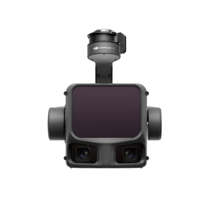
Processing for point cloud data captured by the Zenmuse L2 and Zenmuse L3, combining point cloud with visible light data, exporting in standard formats, and calculating POS data in a single operation.
Multispectral Reflectance Maps
Radiometrically calibrated reflectance output from Mavic 3 Multispectral data, producing NDVI and NDRE vegetation index maps for crop health analysis and variable rate application planning.

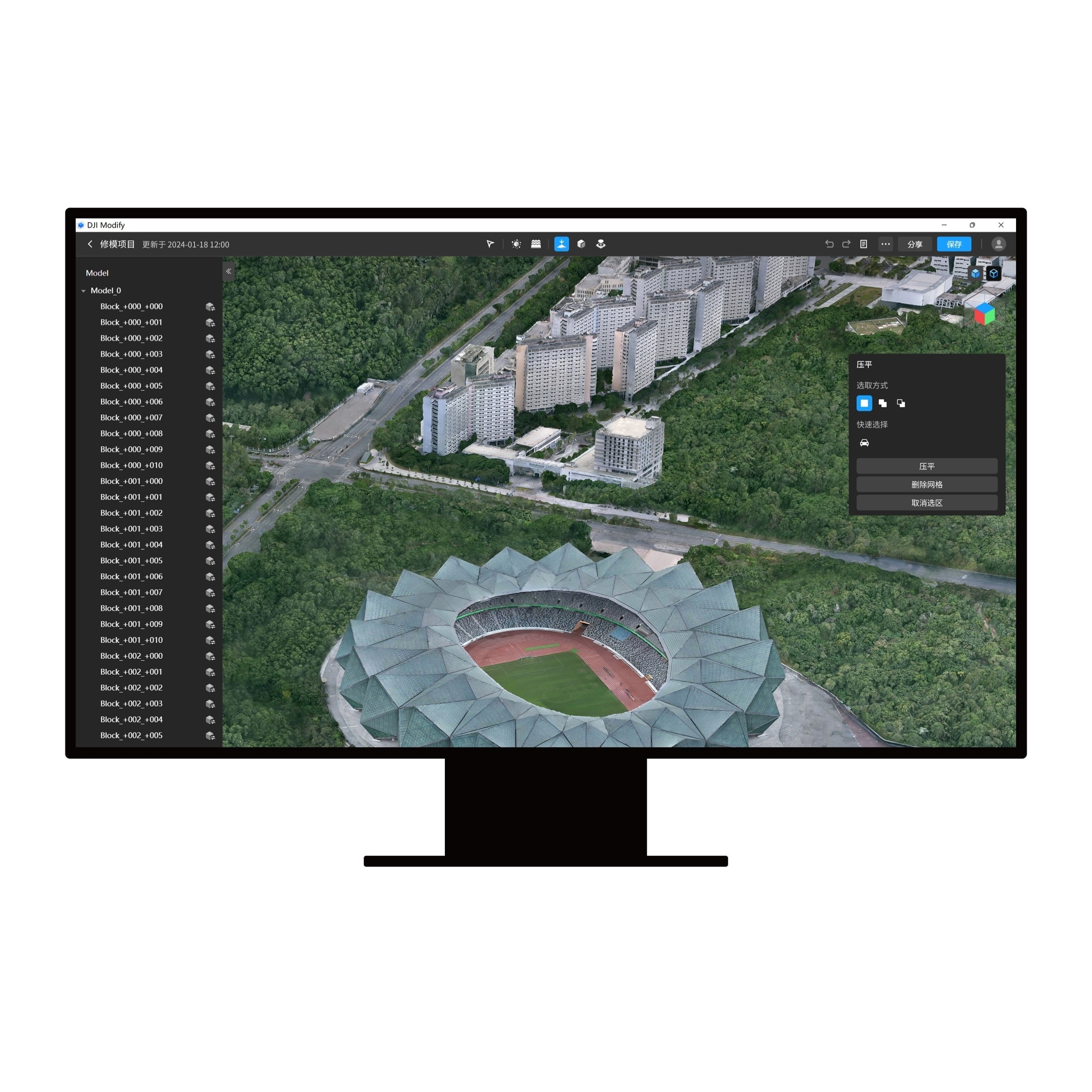
Raw photogrammetric output rarely arrives client ready. DJI Modify repairs mesh errors, fills holes, removes unwanted objects, and flattens surfaces that reconstructed poorly, then hands the corrected model back to Terra in a single click.
For anyone producing 3D deliverables commercially, Modify removes the step where a model gets exported into third party software for tidying, which is usually where the workflow slows down.
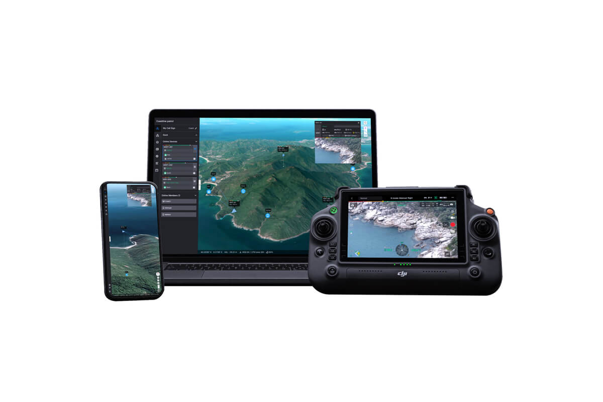
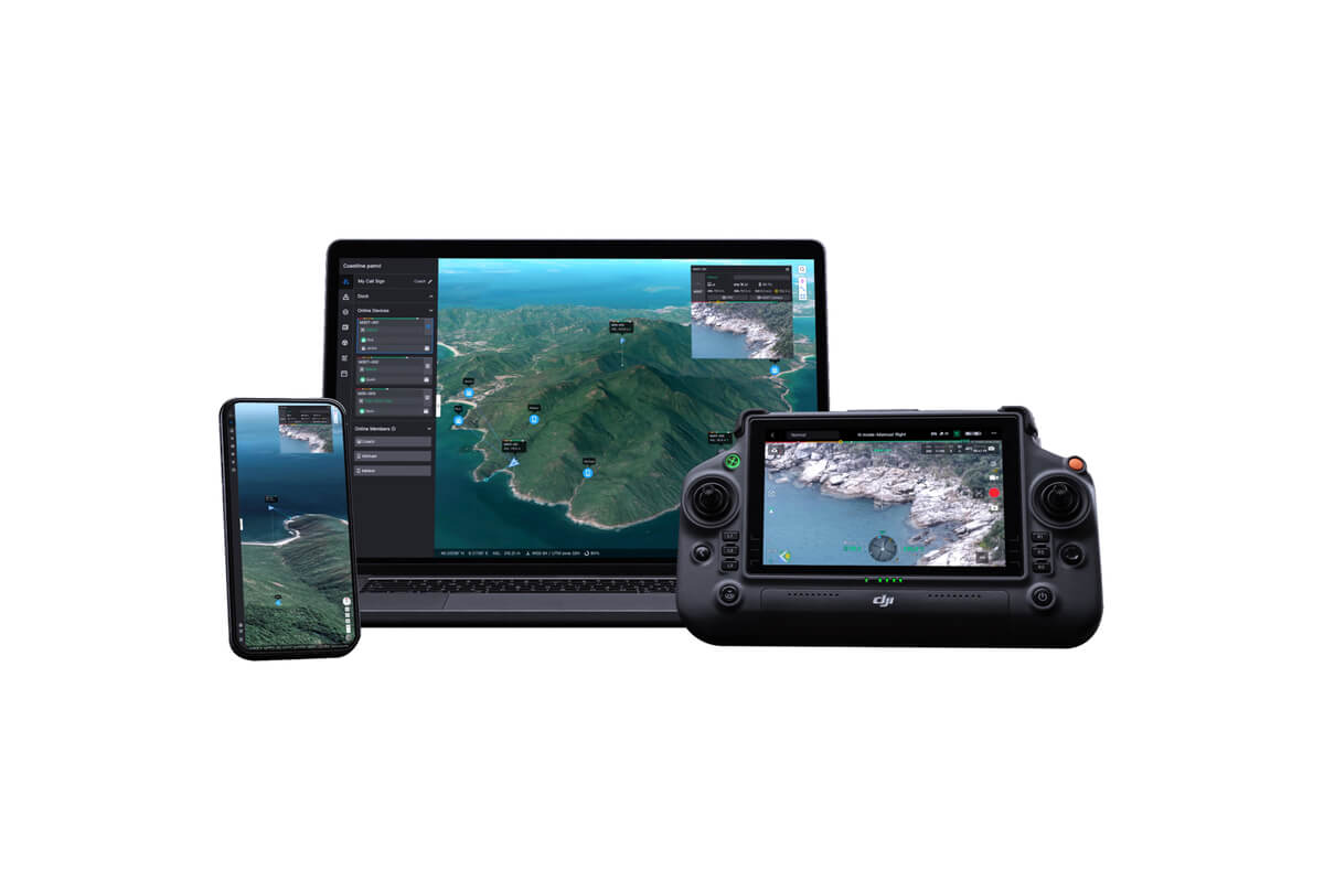
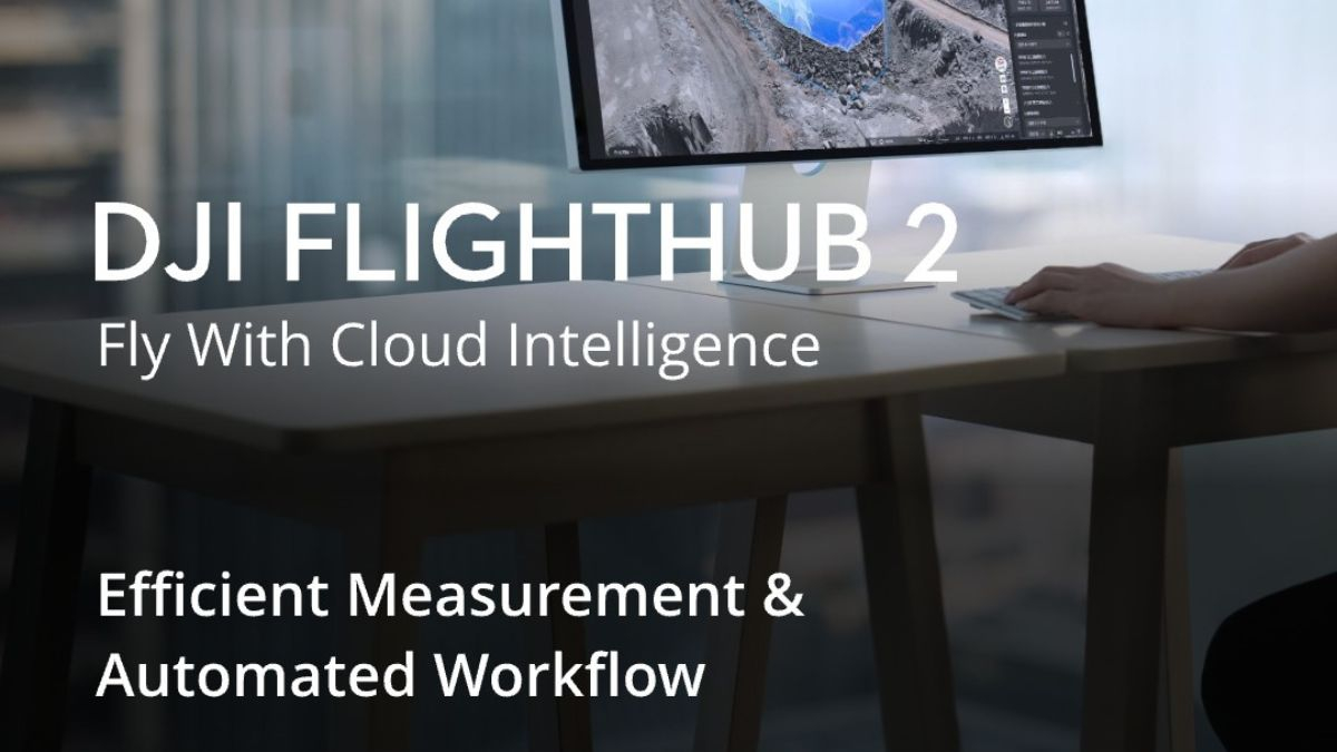
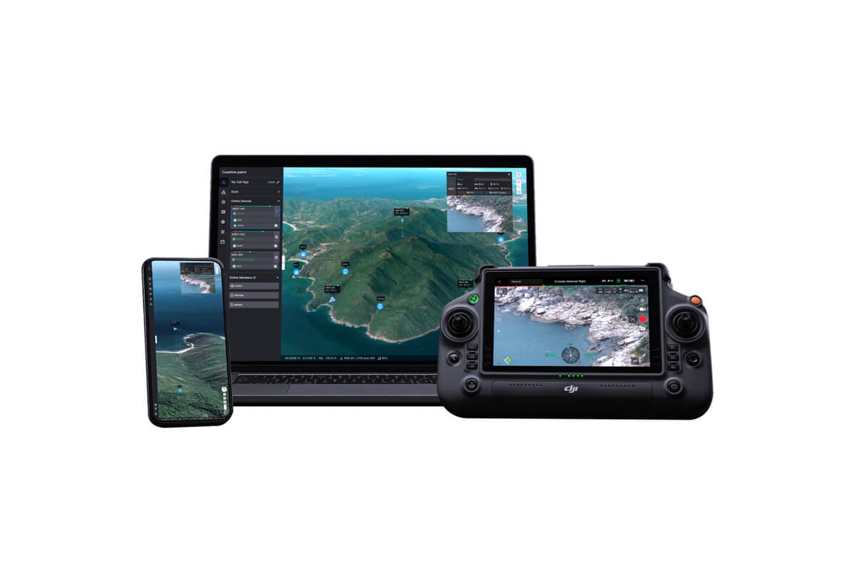
FlightHub 2 is DJI's cloud platform for managing drone operations rather than processing their output. It handles mission planning, live streaming from the aircraft, real time telemetry, fleet and pilot management, and live 2D mapping while a flight is still in progress.
For single operator work, Terra alone is usually enough. FlightHub 2 becomes necessary once you are running multiple aircraft, coordinating pilots across sites, or need someone in an office watching a live feed and making decisions during the flight rather than after it.
It is also the operational backbone of any DJI Dock 3 deployment, since automated missions are scheduled, monitored, and reviewed entirely through the platform.
DJI FlightHub 2
Cloud mission planning, live streaming, fleet management, live 2D mapping
Accurate output depends on accurate positioning at capture. An RTK network subscription delivers real time corrections to your aircraft, removing the need to establish ground control points on every site.
RTK Network Subscription, 1 Year Unlimited
Unlimited corrections across a full year
RTK Premium Unlimited, Single Device, 100h
100 hours of corrections on a single device

More than 2000 Base Stations · Accuracy of 1.5cm with EU Certification

Terra processes data from across the DJI enterprise range:
Note that the Mavic 3 Thermal is not recommended for photogrammetry, since its wide camera lacks the mechanical shutter and sensor size needed for reliable mapping accuracy.
 Free Gifts Included
 Free Gifts Included
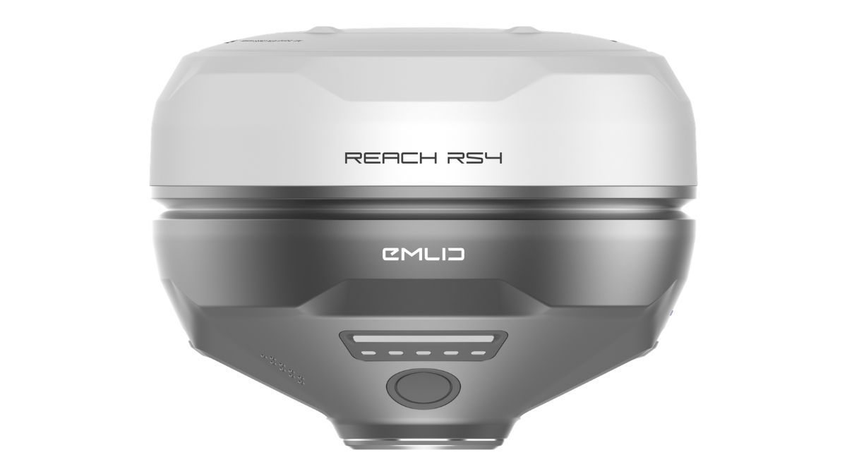 Free Gifts Included

Improves Drone Survey Accuracy · High-Contrast Target Design
An Official DJI Software Reseller
We supply genuine DJI Terra, Modify, and FlightHub 2 licences with full DJI support, not resold or grey market keys.
Advice on Which Licence You Actually Need
The gap between Standard annual and Flagship permanent is over £7,000. Our team will talk through your project volume and dataset sizes honestly, including when the cheaper licence is the right answer.
Setup and Workflow Support
From activation through to your first processing job, our support continues after purchase rather than ending at the licence key.
Buy the Software and the Aircraft Together
As a DJI Enterprise A Rank retailer, we can supply the capture platform, the payload, the ground control, and the processing software as one package, configured to work together.
Flexible Finance Options
Klarna for individual buyers, and iwocaPay for businesses spreading the cost of software licences alongside hardware.
Both produce the same core outputs. Flagship handles larger datasets and adds advanced processing capability, making it the choice for high volume survey work or large corridor projects. Standard covers most construction, inspection, and land survey requirements. Call us and we will match the licence to your actual workload.
A permanent licence costs roughly three years of annual licensing, so the break even sits around the three year mark. Ongoing, core mapping work justifies permanent. Trial use, seasonal work, or project driven mapping is usually better served by annual.
Terra is desktop software that processes captured data into maps, models, and point clouds after a flight. FlightHub 2 is a cloud platform that manages the flight itself, covering mission planning, live streaming, telemetry, and fleet coordination. Many operations run both, using FlightHub 2 to fly and Terra to process.
Yes. Automated Dock 3 missions are scheduled, monitored, and reviewed through FlightHub 2, so it is a required part of any dock based operation rather than an optional extra.
Yes. Terra processes point cloud data from the Zenmuse L2 and L3, combining it with visible light data, exporting in standard formats, and calculating POS data in a single operation.
Not necessarily. Modify is worth adding if you deliver 3D models to clients and currently export them into other software for cleanup. If your deliverables are primarily 2D orthomosaics or point clouds, Terra alone is usually sufficient.
The DJI enterprise range, including the Matrice 400 with Zenmuse L3 or P1 payloads, the Matrice 4 Series, and the Mavic 3 Multispectral. Our team can confirm compatibility with your specific setup.
DJI Terra is a Windows PC application. Check the current system requirements against your hardware before purchasing, and speak to us if you are unsure whether your machine will handle the dataset sizes you work with.
DJI offers a trial version with limited functionality. For a proper assessment against your own data, speak to our team and we can advise on the best route.
Drone Safe Store Showroom
Unit 1K, St James' Industrial Estate, Westhampnett Rd, Chichester PO19 7JU
Free parking directly outside, easy access from Chichester city centre and the train and bus station.
Opening Hours: Monday to Saturday, 9:00am to 5:30pm
Software licences are hard to compare from a spec sheet, and the price gap between tiers is significant. Speak to our team before you buy and we will match the licence to the work you are actually doing.
Or visit us in person at our Chichester showroom, no appointment required.
 Armed Forces Covenant
Proudly supporting the Armed Forces community and veterans.
Armed Forces Covenant
Proudly supporting the Armed Forces community and veterans.
 ISO 9001 Certified
Certified quality management systems for consistent service and customer satisfaction.
ISO 9001 Certified
Certified quality management systems for consistent service and customer satisfaction.
 DJI Enterprise A Rank Retailer
DJI's highest level of authorised retail and technical expertise.
DJI Enterprise A Rank Retailer
DJI's highest level of authorised retail and technical expertise.
 D-U-N-S® Registered
Globally recognised business identity, verified for international trade. Number: 221162020
D-U-N-S® Registered
Globally recognised business identity, verified for international trade. Number: 221162020
 Financial Conduct Authority
Authorised and regulated by the FCA for consumer finance activities.
Financial Conduct Authority
Authorised and regulated by the FCA for consumer finance activities.
 YPO Approved Supplier
Approved on the YPO framework as a supplier for Drones & Associated Services to help the Public Sector
YPO Approved Supplier
Approved on the YPO framework as a supplier for Drones & Associated Services to help the Public Sector