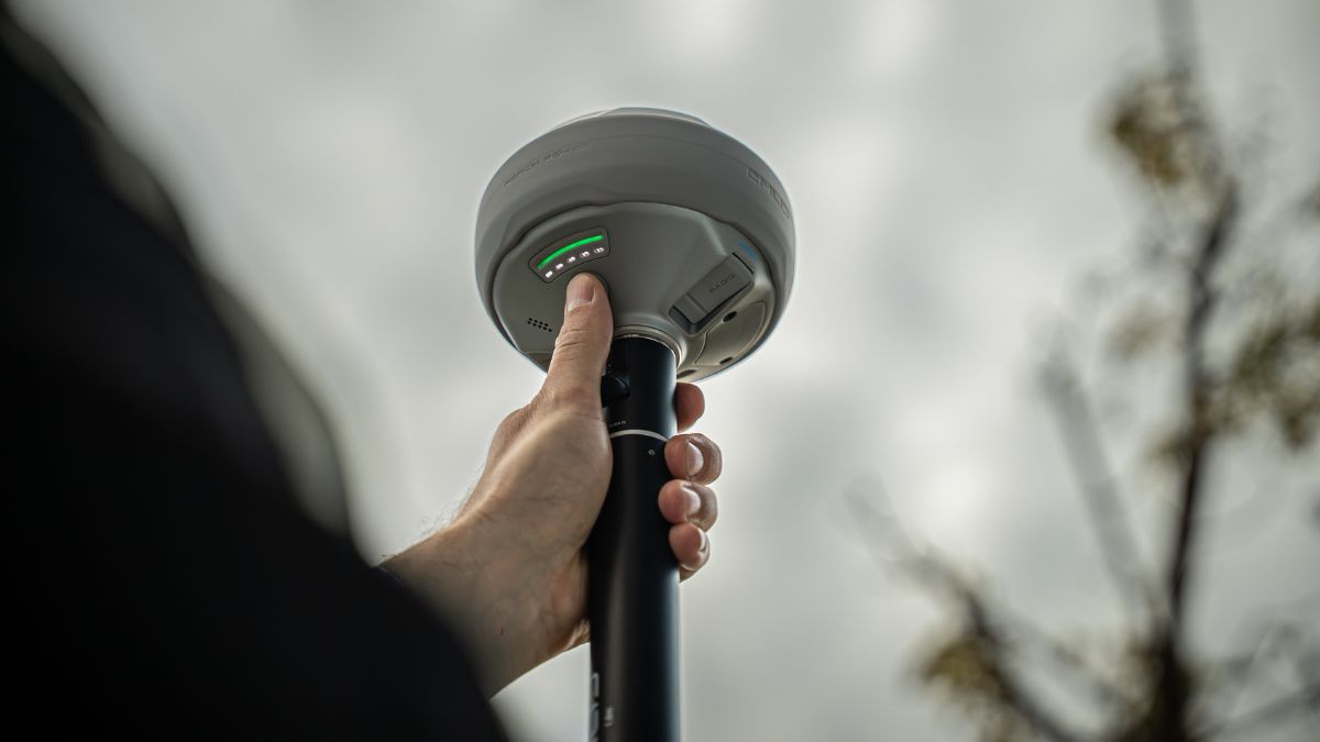
What an RTK GNSS Receiver Actually Does
A standalone GNSS receiver reads satellite signals and returns a position accurate to several metres. RTK removes most of that error by applying a live correction stream from a known reference point, bringing horizontal accuracy to around 7mm + 1 ppm on the current Reach models. That is the difference between a point you can plot and a point you can build to.
Three workflows matter in practice:
Deploy RTK when you need corrected coordinates in the field, in real time, for stakeout or as you collect
Log PPK when mobile signal is unreliable, recording raw RINEX data and correcting it afterwards in Emlid Studio
Run static observation when establishing a control point, logging over a longer window for the tightest result

The Current Emlid Reach Range
Model | Role | GNSS tracking | Tilt performance | Battery | Ingress | Price |
|---|---|---|---|---|---|---|
Base or rover, dual camera | 672 channels, L1/L2/L5/L6 | 18mm at 30° tilt | 16 hrs RTK rover with tilt | IP68 | £4,299.00 | |
Base or rover | 672 channels, L1/L2/L5/L6 | 18mm at 30° tilt | 16 hrs RTK rover with tilt | IP68 | £3,599.00 | |
Base or rover | 184 channels, L1/L2 | 20mm at 60° tilt | 18 hrs with tilt, 22 hrs logging | IP67 | £2,699.00 | |
Rover only | 672 channels, L1/L2/L5/L6 | Tilt compensated, no calibration | 16 hrs | IP68 | £2,099.00 |
The headline difference between the RS4 generation and the RS3 is band coverage. The RS4 and RS4 Pro track the L5 and L6 bands across every constellation, which are more resistant to multipath and interference. Under a canopy or between buildings, that is where a fix holds or drops.
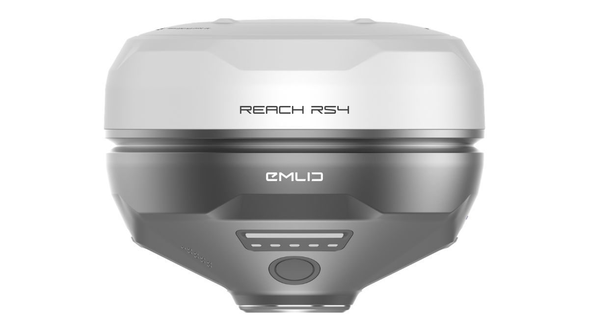
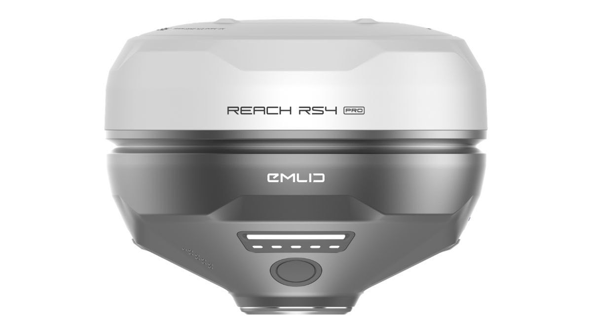
Reach RS4 and RS4 Pro
The RS4 tracks 40 or more satellites simultaneously across 672 channels and typically converges in around five seconds. A magnesium alloy body and IP68 sealing keep it working from -40°C to +65°C, which covers any UK site condition and most overseas deployments.
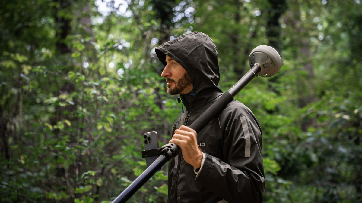
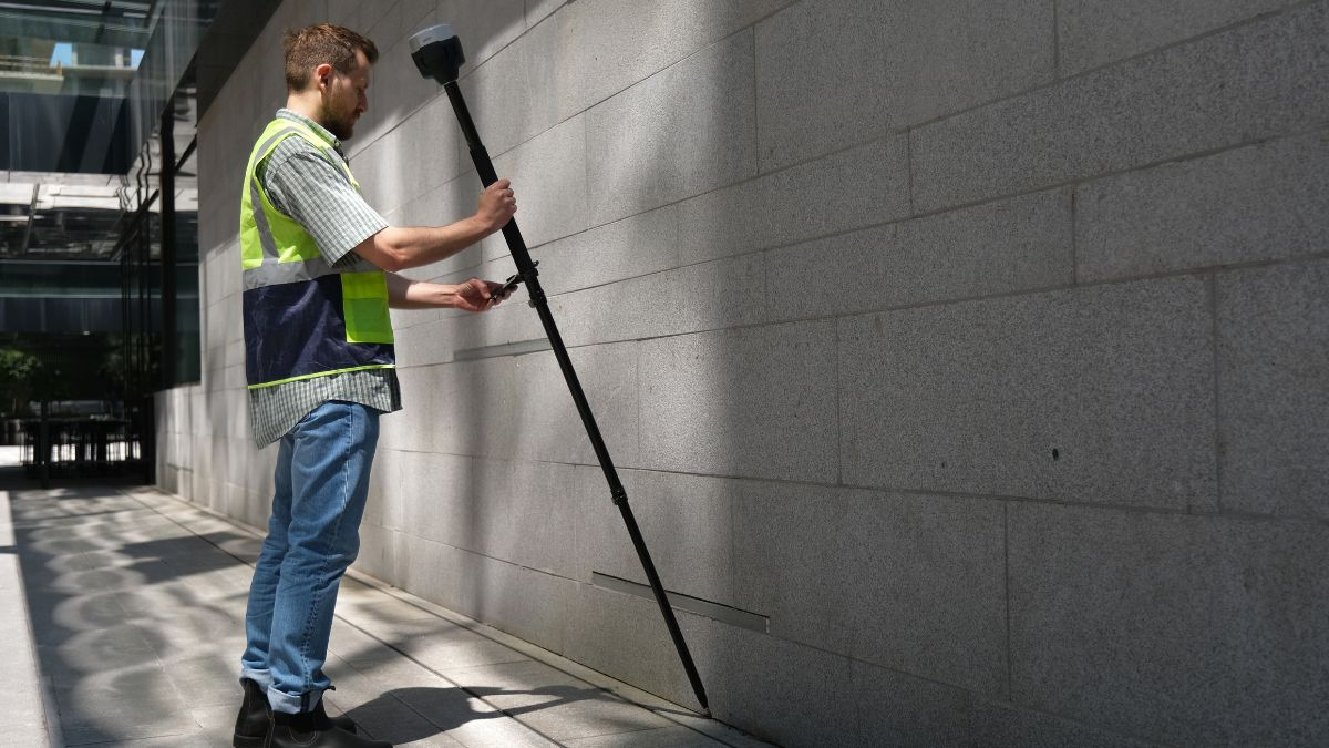
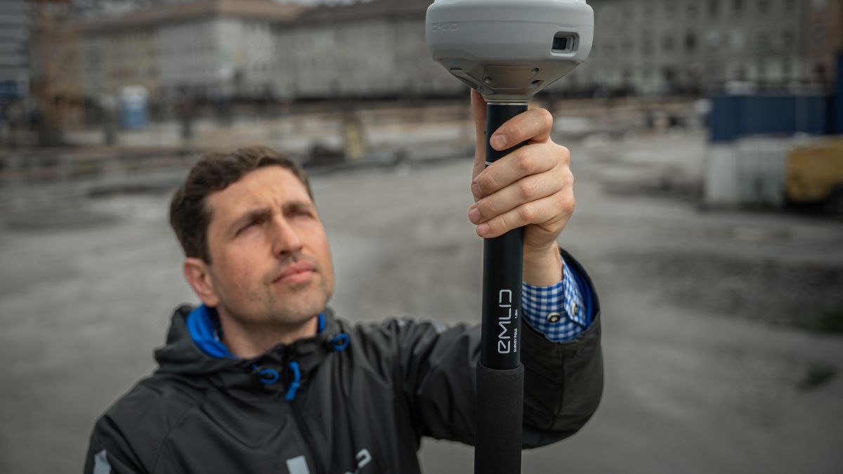
Tilt compensation is factory calibrated and initialises after a few movements. At a 30 degree tilt the receiver still returns 18mm precision, so building corners, kerb lines and fence bases can be shot directly rather than offset.
The RS4 Pro adds two Full HD global shutter cameras. Two capabilities follow from that:
Stake out with AR guidance, overlaying design points on the live camera view rather than navigating by coordinates on a map
Measure from captured images, taking coordinates for facades, points across live carriageways, or areas behind fencing where the pole cannot physically go
For teams currently setting up a total station purely to reach a handful of inaccessible points, that second capability is where the price difference between the two models is recovered.
 Free Gifts Included
 Free Gifts Included
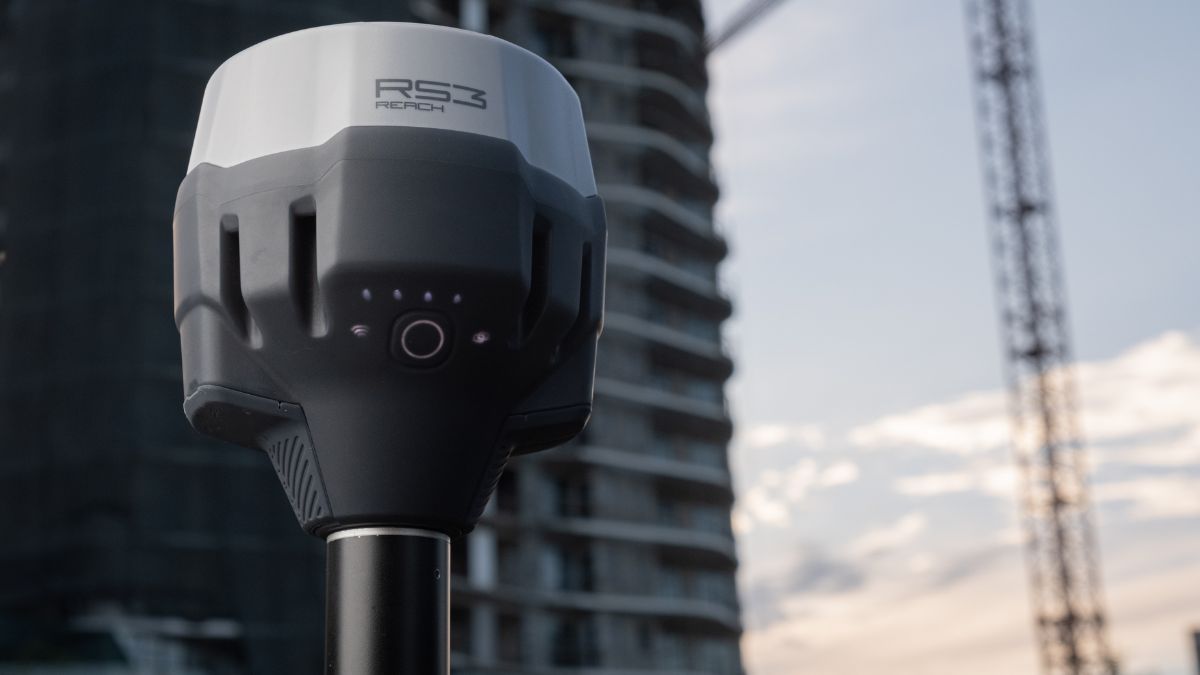
Reach RS3
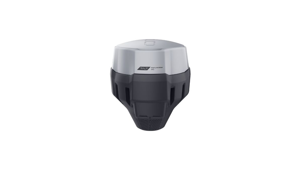
The RS3 remains the volume seller for everyday construction and topographic work. Its IMU handles up to 60 degrees of tilt at 20mm accuracy, a wider working angle than the RS4 generation quotes, and 16GB of internal storage supports over 160 days of logging at 1 Hz.
Two constraints separate it from the RS4. Its UHF radio is receive only, so it cannot broadcast corrections over UHF as a base, and LoRa output is 0.1W against the RS4's 1W capability. Band coverage is L1/L2 across 184 channels rather than full L5/L6.
For open sites, boundary surveys and general fieldwork where signal conditions are reasonable, none of that is limiting. Under heavy canopy, it is.
 Free Gifts Included
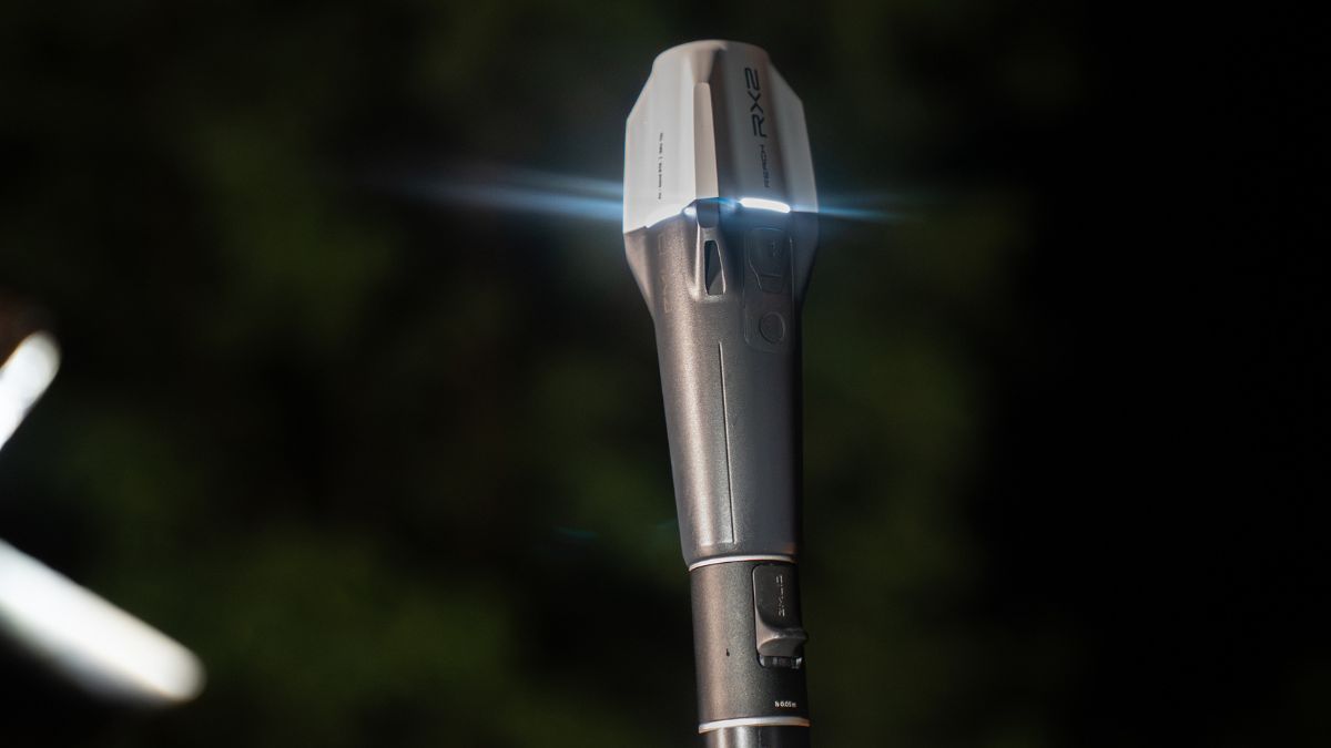
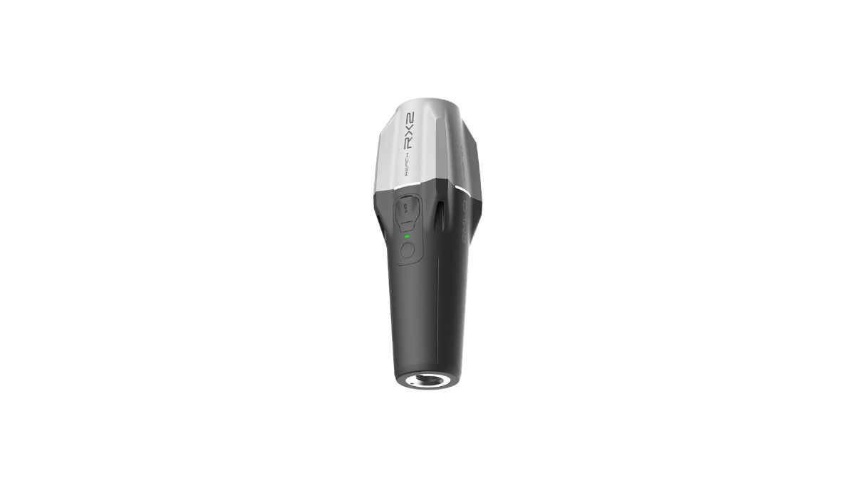
Reach RX2
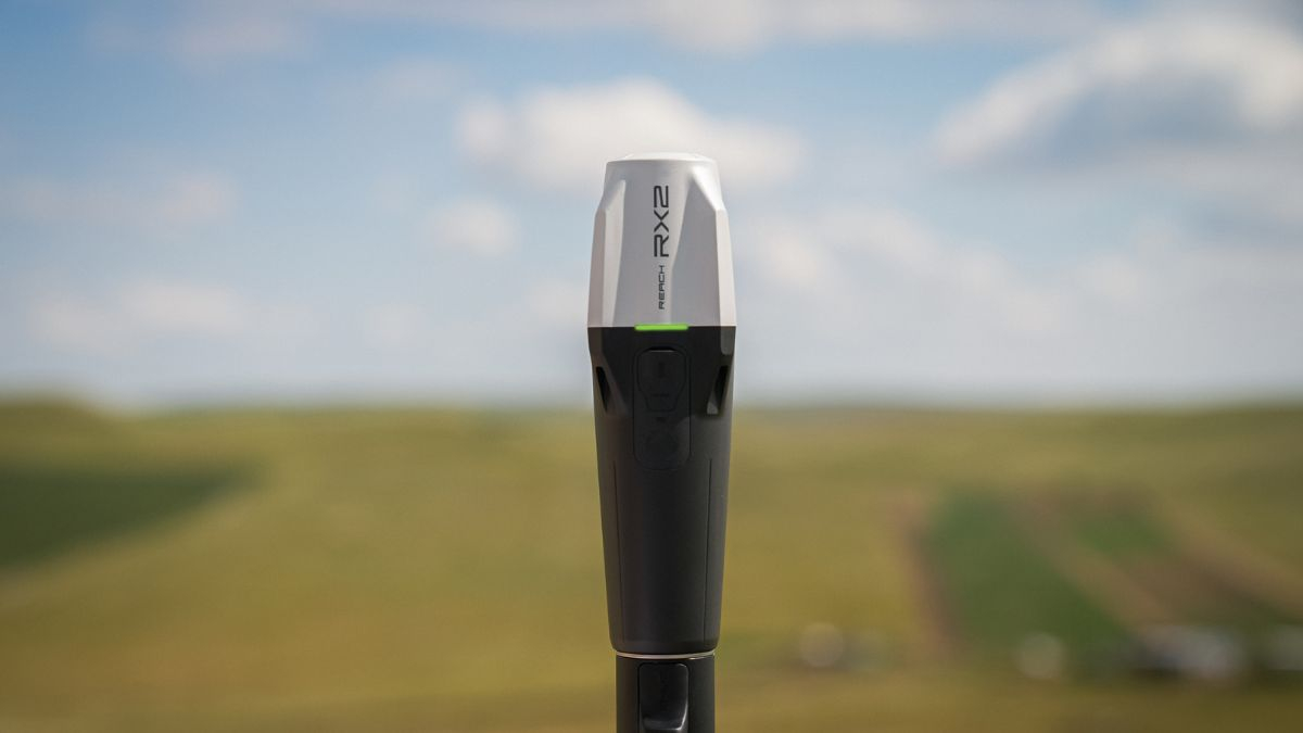
The RX2 weighs 280g and works as a rover only. It cannot broadcast corrections, so it needs either an NTRIP network or a second Reach unit acting as a base.
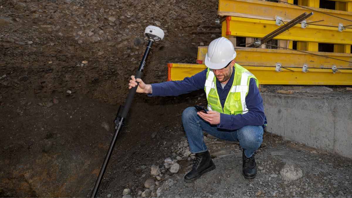
Where it earns its place is team deployment. Tilt compensation activates after a short walk with no calibration steps, Apple MFi certification gives stable Bluetooth to iPhones and iPads, and it streams positions natively into ArcGIS Field Maps, Survey123, QField, Mergin Maps and Avenza. Local authority asset teams, utilities crews and environmental monitoring staff can collect survey grade data without changing the software they already use.
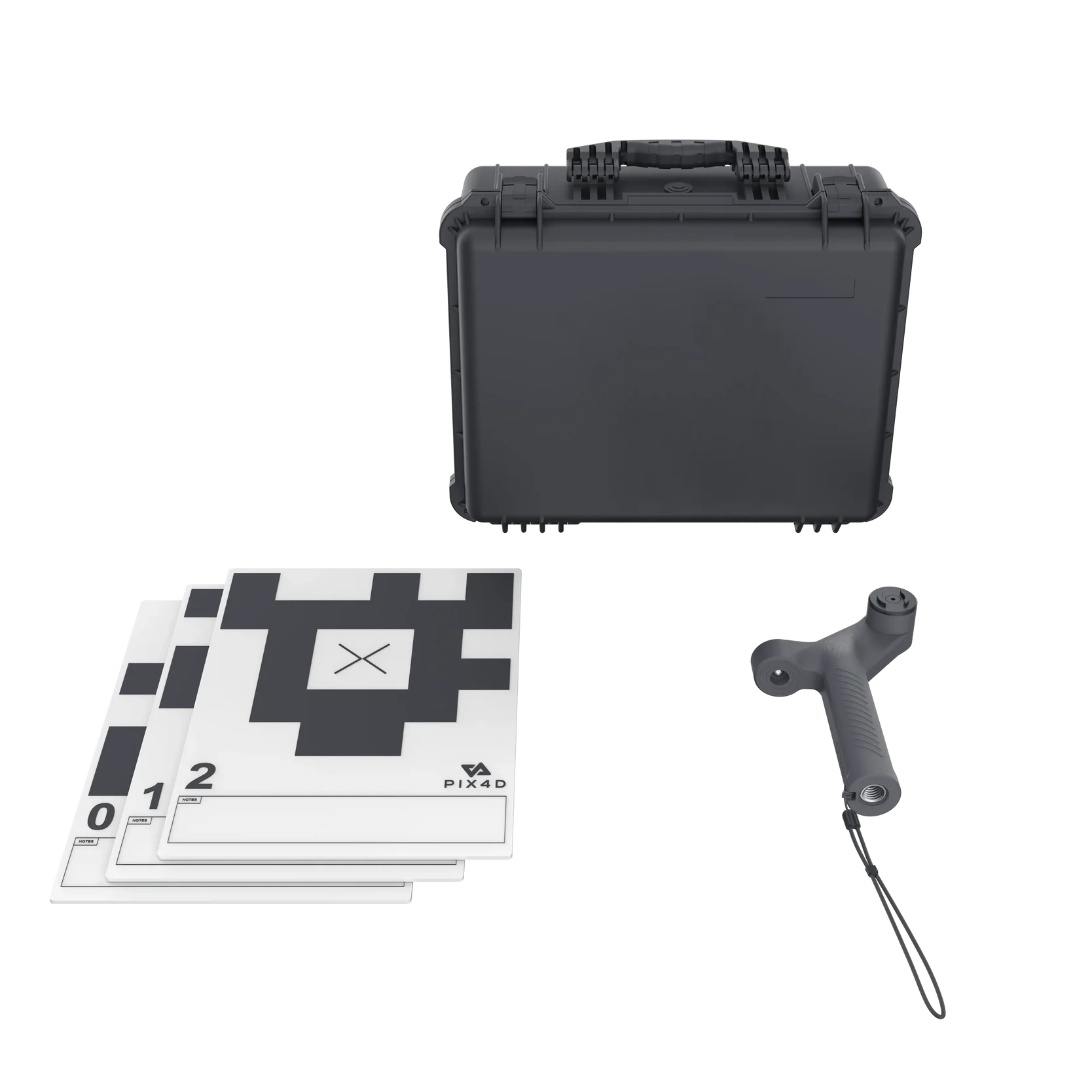
Paired with the Emlid Scanning Kit at £599.00 and PIX4Dcatch, it also handles terrestrial scanning of vertical surfaces and confined areas.
 Free Gifts Included

Getting Corrections in the UK
Every Reach receiver accepts RTCM3 corrections over NTRIP, and all four current models can pull from a VRS or single baseline CORS network. Three routes are practical here:
Subscribe to Emlid Corrections, a VRS service delivering 1 to 2cm accuracy with UK coverage confirmed, included free for the first year with every current receiver and charged directly by Emlid thereafter (currently $699 per year or $1,199 for three years, priced in US dollars)
Run a commercial NTRIP subscription, such as our RTK Network Subscription at £1,080.00 for a year of unlimited access across more than 2,000 base stations, or £180.00 for 30 days for single project work
Set up your own base and rover, using LoRa or UHF radio where there is no mobile coverage, with Emlid NTRIP Caster available free to pass corrections over the internet
One UK specific point that catches operators out. The RS4 and RS4 Pro support UHF transmission at up to 2W, and Emlid states that permitted power depends on local regulation and in many cases requires a licence. Confirm your Ofcom position before running a UHF base at full output in the UK. LoRa operating in the 868 MHz band is the simpler route for most British sites.
Using Emlid Receivers With DJI Drones
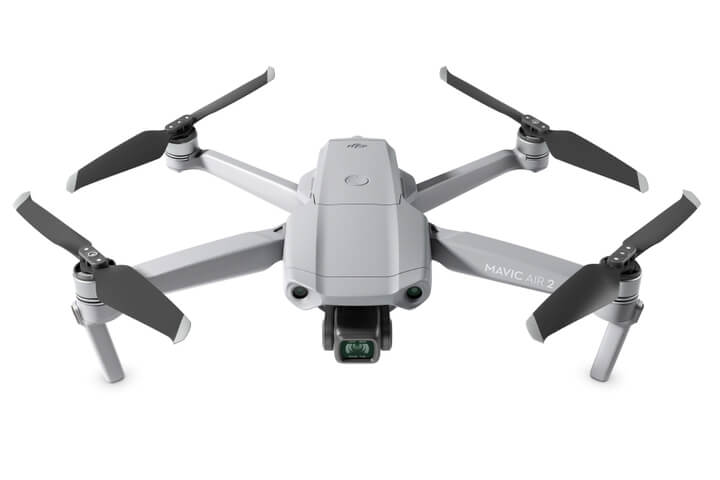
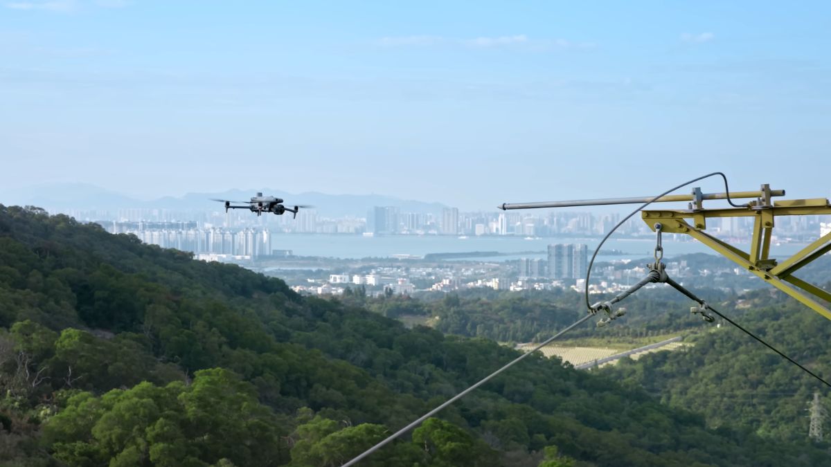
A Reach receiver serves two functions in a drone mapping workflow. It establishes ground control points that anchor a photogrammetry or LiDAR dataset to real world coordinates, and it can act as a base station broadcasting corrections to an RTK enabled aircraft.
Typical pairings:
Anchor Matrice 4 Series missions, using a Reach base alongside the Matrice 4E or 4D to tighten ground control accuracy across a mapping block
Extend Matrice 400 corridor work, where a fixed Reach base maintains survey grade positioning across a wider site than a single flight area
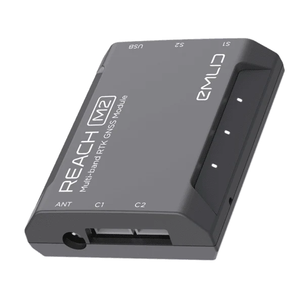
Integrate PPK into a custom build, using the Reach M2 RTK / PPK System at £649.00, which works with Pixhawk and ArduPilot flight controllers
Mark control points properly, using a Goecke 300 x 300mm aerial target plate at £10.00 so the coordinate you measured is the pixel your software finds
Data captured against those points processes in DJI Terra or any standard photogrammetry package. Where a project runs entirely on DJI hardware, the D-RTK 3 Multifunctional Station at £1,369.00 is the alternative base option.
 Free Gifts Included
 Free Gifts Included
 Free Gifts Included
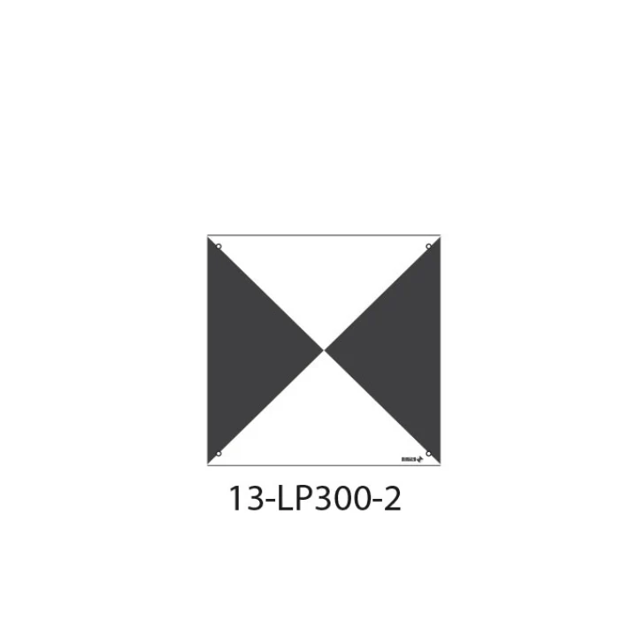
Goecke Ground Control Point - 13-LP300-2
Improves Drone Survey Accuracy · Large, Easy-to-Spot Format
What Emlid Receivers Will Not Do
Straight answers on the limitations, because they determine whether the purchase works:
- No GNSS receiver works indoors or under solid cover. Sky view is a hard requirement, and a total station remains the tool for interiors and tunnels
- RTK requires a correction source. Without mobile data or a local base broadcasting to the rover, you are recording raw data for later processing, not working in real time
- Tilt accuracy degrades with angle. The published RS4 figure of 18mm applies at 30 degrees on a 1km baseline. Steeper angles and longer baselines widen it
- The RX2 cannot act as a base. Buying two RX2 units does not give you a base and rover pair
- Correction services are recurring. Budget for renewal beyond the included first year, or plan to run your own base
Matching the Receiver to the Job
- Choose the RS4 Pro for complex sites with restricted access points, where camera based measurement removes total station setups
- Choose the RS4 for professional survey work under canopy, near structures, or anywhere fix reliability is the priority
- Choose the RS3 for construction sites, boundary work and topographic surveys in reasonable signal conditions, or as a cost effective second unit for base and rover
- Choose the RX2 for GIS collection, site layout and mobile teams working inside Esri or QField, where no base station role is required
Pole and mounting hardware is worth specifying at the same time. The Emlid Survey Pole at £299.00, Quick-Release Adapter at £119.00 and Smartphone Mount at £99.00 cover the standard field setup. The quick release matters more than it looks: any play between receiver and pole compromises tilt accuracy at steeper angles.


Emlid Flow and Emlid Studio
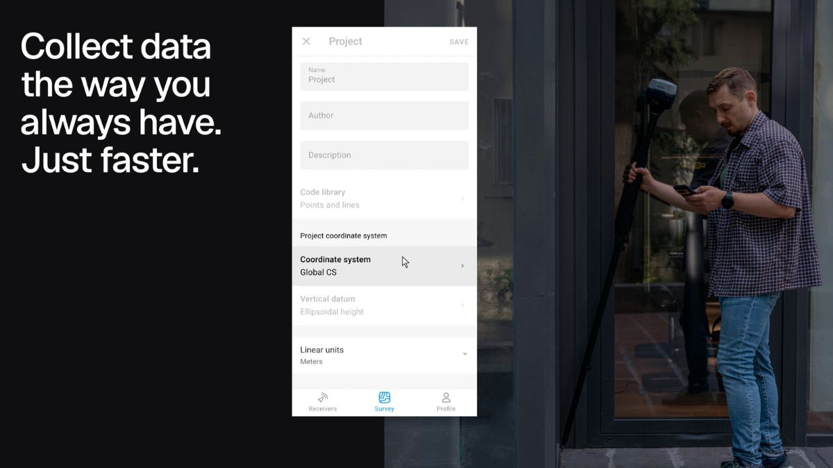
Every Reach receiver runs on Emlid Flow for iOS and Android. Receiver configuration, correction setup, RINEX logging, stakeout and data collection all sit in the same app, so a team running mixed models works in one interface.
Emlid Flow 360 syncs field data to the cloud, giving office staff current data without waiting for a crew to return. Emlid Studio handles post-processing for macOS and Windows at no cost, covering kinematic, static and drone PPK workflows. Logs are also compatible with OPUS, AUSPOS and other PPP services.
Common Questions
An NTRIP subscription is sufficient wherever you have mobile coverage and network reference stations nearby. A base station gives independence from data connectivity and suits remote sites, long term projects and repeated work in the same location.
The RS3 and RS4 both suit GCP work. The RS4 holds a fix more reliably under canopy and near reflective surfaces because of its wider band tracking.
Yes, over NTRIP with any receiver supporting RTCM3. Over UHF radio, the RS4 and RS4 Pro are compatible with receivers supporting TRIMTALK 450S.
On boundary work, building corners and kerb lines, it removes the need to level the pole for every shot and eliminates offset calculations. On open topographic work the time saved is smaller.
RTK corrects your position live in the field and requires a correction stream. PPK logs raw data and corrects it afterwards in software, which works without connectivity but delays your results.