
 Free Gifts Included
Emlid
Showing 1–10 of 19 products
Free Gifts Included
 Free Gifts Included
 Free Gifts Included
 Free Gifts Included
DIGITAL CODE

RTK Network Subscription - 1Y Unlimited
More than 2000 Base Stations · Accuracy of 1.5cm with EU Certification
£1,080.00
DIGITAL CODE
 Free Gifts Included

DIGITAL CODE

RTK Network Subscription Unlimited 30 Days
More than 2000 Base Stations · Accuracy of 1.5cm with EU Certification
£180.00
Emlid GNSS Receivers: RTK Precision for Drone Surveying and Mapping
Drone Safe Store is an official UK retailer for Emlid, supplying the Reach range of RTK GNSS receivers used across land surveying, construction, GIS, and drone ground control work. Every receiver in the range delivers centimetre level positioning, and the right model depends on how demanding your accuracy requirements and field conditions are.
Which Emlid Receiver Is Right for You?
| Model | Best For | Key Feature | Battery Life | Price |
|---|---|---|---|---|
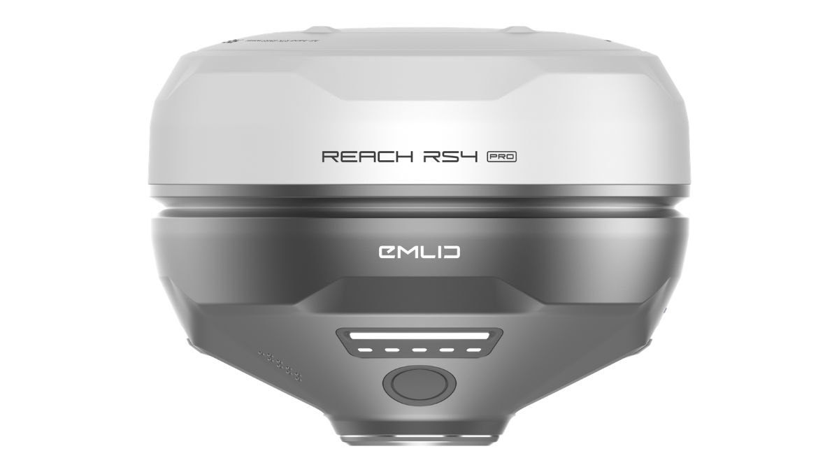
| Reach RS4 Pro | Complex sites, restricted access points | Dual cameras with AR stakeout | Up to 16 hours | £4,299.00 |
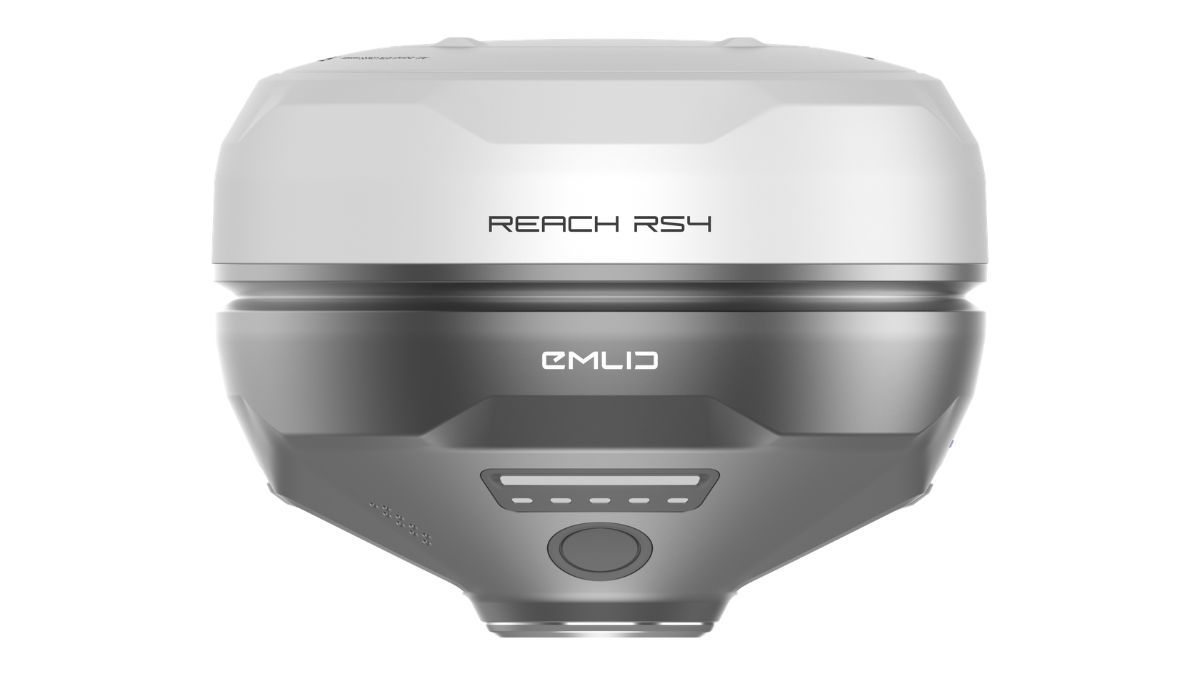
| Reach RS4 | Professional surveying in demanding conditions | All band GNSS, 672 channels | Up to 16 hours | £3,599.00 |
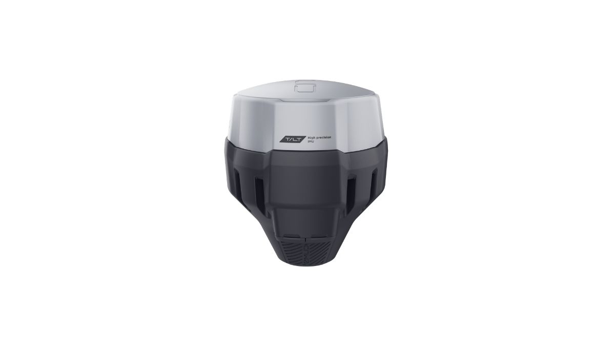
| Reach RS3 | Construction, topographic surveys, general fieldwork | IMU tilt compensation, no pole levelling | Up to 18 hours | £2,699.00 |
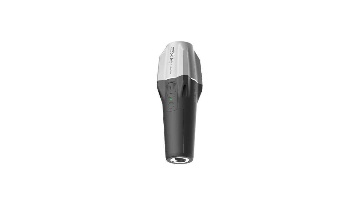
| Reach RX2 | GIS data collection, layout, mobile teams | Compact rover, zero setup tilt compensation | Up to 18 hours | £2,099.00 |
Not sure which receiver fits your workflow? Talk to our team before you buy.
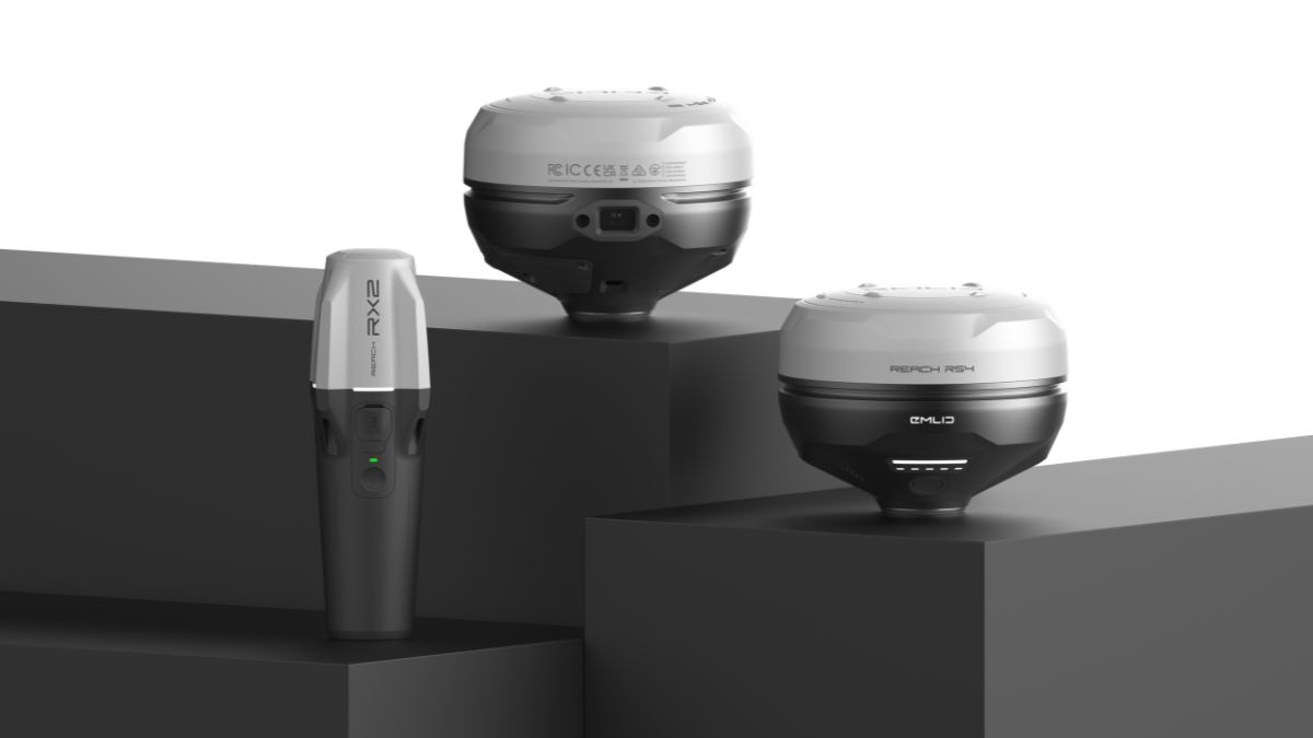
Reach RS4 and RS4 Pro, Emlid's Flagship Receivers
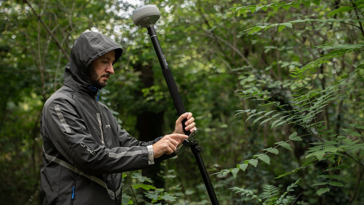
The Reach RS4 tracks all major satellite constellations across 672 channels, including the interference resistant L5 and L6 bands, and holds a stable RTK fix while tracking 40 or more satellites simultaneously. This keeps positioning reliable near buildings, under canopy, and close to reflective surfaces where cheaper receivers lose their fix. IMU tilt compensation reaches up to 18mm precision at a 30 degree tilt, so the pole no longer needs to be perfectly vertical to get an accurate reading.
The Reach RS4 Pro carries the same GNSS and tilt performance, and adds dual Full HD cameras for AR stakeout and image based measurement. Design points can be located directly through the camera view rather than by reading coordinates off a screen, and inaccessible points, such as building facades or areas across a live road, can be measured from a captured image instead of a physical pole placement.
 Free Gifts Included
Free Gifts Included
Free Gifts Included
Reach RS3, the Established Choice for Everyday Surveying
The Reach RS3 remains Emlid's most widely used receiver, built around the same principle of tilt compensated accuracy without levelling the pole. At 950g it is compact and rugged enough for daily use on construction sites, boundary surveys, and beneath dense foliage. A built in LTE modem provides NTRIP corrections over the mobile network, and a dual band radio keeps communication reliable when working base to rover in areas without signal.
Free Gifts Included
Reach RX2, Built for GIS and Data Collection Teams
The Reach RX2 is Emlid's compact rover, weighing 280g and designed for teams who need fast, accurate positioning without a surveying background. Tilt compensation activates automatically after a short walk, with no calibration steps required, and Apple MFi certification gives it stable Bluetooth connectivity with iPhones and iPads. It runs natively with ArcGIS Field Maps, Survey123, QField, and Mergin Maps, making it a strong fit for local authorities, utilities, and environmental monitoring teams already working in these platforms.
 Free Gifts Included
Emlid Flow, the Software Behind Every Reach Receiver
Every Reach receiver in the range runs on Emlid Flow, a mobile and cloud platform available on iOS and Android. Field setup and RTK monitoring happen through the same app, and completed surveys sync to the cloud automatically so office teams can review data without waiting for a return to base. This keeps every receiver, from the RX2 through to the RS4 Pro, working inside a single consistent workflow rather than requiring separate software for each device.
RTK Base and Rover Setup, in Any Configuration
Every Reach receiver in the current range can run as either a base or a rover, and connects using NTRIP, LoRa, or UHF radio depending on the site.
NTRIP RTK
Works with VRS or single baseline CORS networks using the RTCM3 format, and can connect to an Emlid NTRIP Caster base.
Dual Band UHF Radio
Transmits and receives at 450 MHz, up to 2W output, compatible with TRIMTALK 450S enabled receivers.
LoRa Radio
Transmits and receives at 915 MHz, up to 1W output, licence free in North America and optimised for Reach devices.
What Works Well With Emlid Reach Receivers
A Reach receiver rarely operates alone. Pairing it with the right drone platform, software, or accessory extends what it can actually deliver in the field.
- DJI Matrice 4 Series, an RTK enabled Matrice 4E or 4D paired with a Reach base station improves ground control accuracy on large mapping missions
- DJI Matrice 400 Series, for corridor and heavy lift mapping work where a fixed Reach base extends survey grade accuracy across a wider site
- D-RTK 3 Multifunctional Station, DJI's own base station, useful where a project already runs entirely on DJI hardware
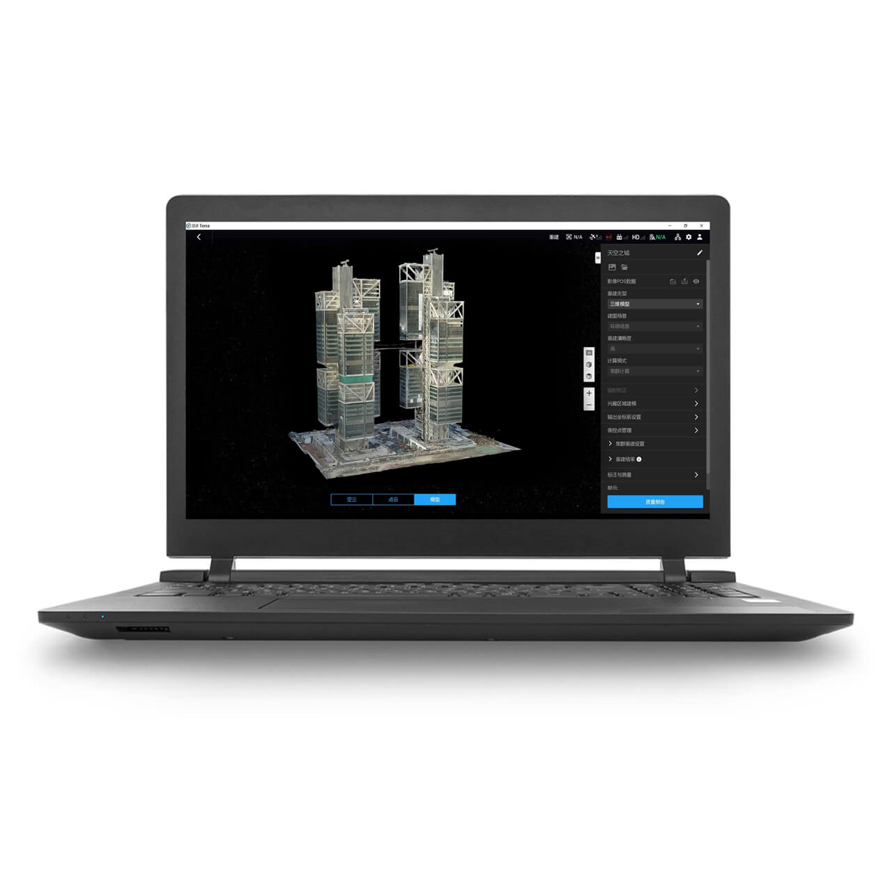
- DJI Terra, for processing the LiDAR and photogrammetry data captured alongside Reach ground control points
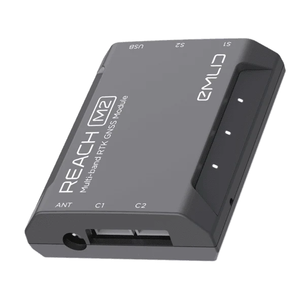
- Reach M2 RTK / PPK System, for integrating RTK or PPK positioning directly into a custom drone build
- Emlid Smartphone Mount, for running Emlid Flow hands free from the survey pole itself
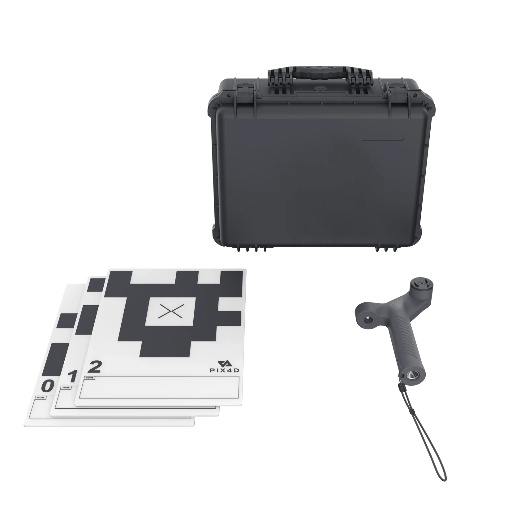
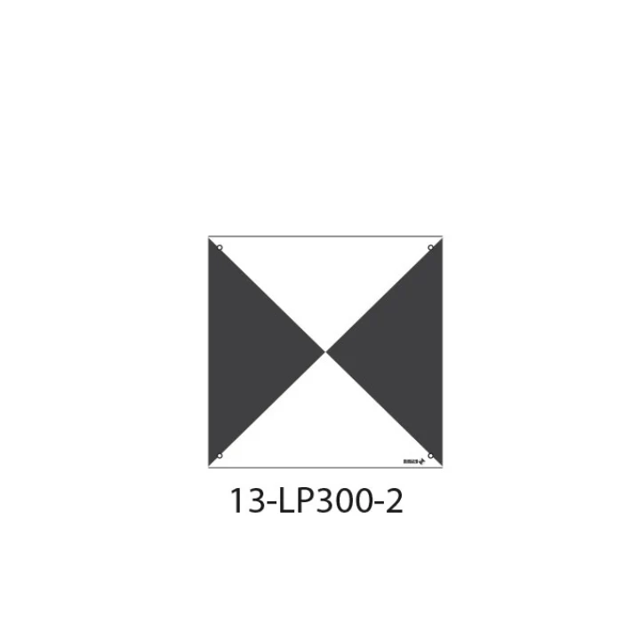
- Goecke Ground Control Point 13-LP300-2, a 300 x 300mm waterproof aerial target plate, ideal for marking Reach measured coordinates on site for photogrammetry and mapping accuracy
DIGITAL CODE
RTK Network Subscription - 1Y Unlimited
More than 2000 Base Stations · Accuracy of 1.5cm with EU Certification
£1,080.00
 Free Gifts Included
 Free Gifts Included

 Free Gifts Included
DJI Matrice 400 Worry-Free Plus Combo
Extended Flight Time, Dust & Water Resistant · Upgraded Payload Capacity and Multi-Payload Support
£10,650.00
Goecke Ground Control Point - 13-LP300-2
Improves Drone Survey Accuracy · Large, Easy-to-Spot Format
£10.00
Why Shop Emlid With Drone Safe Store
Real Expertise, Not Just a Product Listing
Our team can talk through RTK setup, NTRIP configuration, and which Reach model actually fits your field conditions, before you commit to a purchase.
See It Before You Buy It
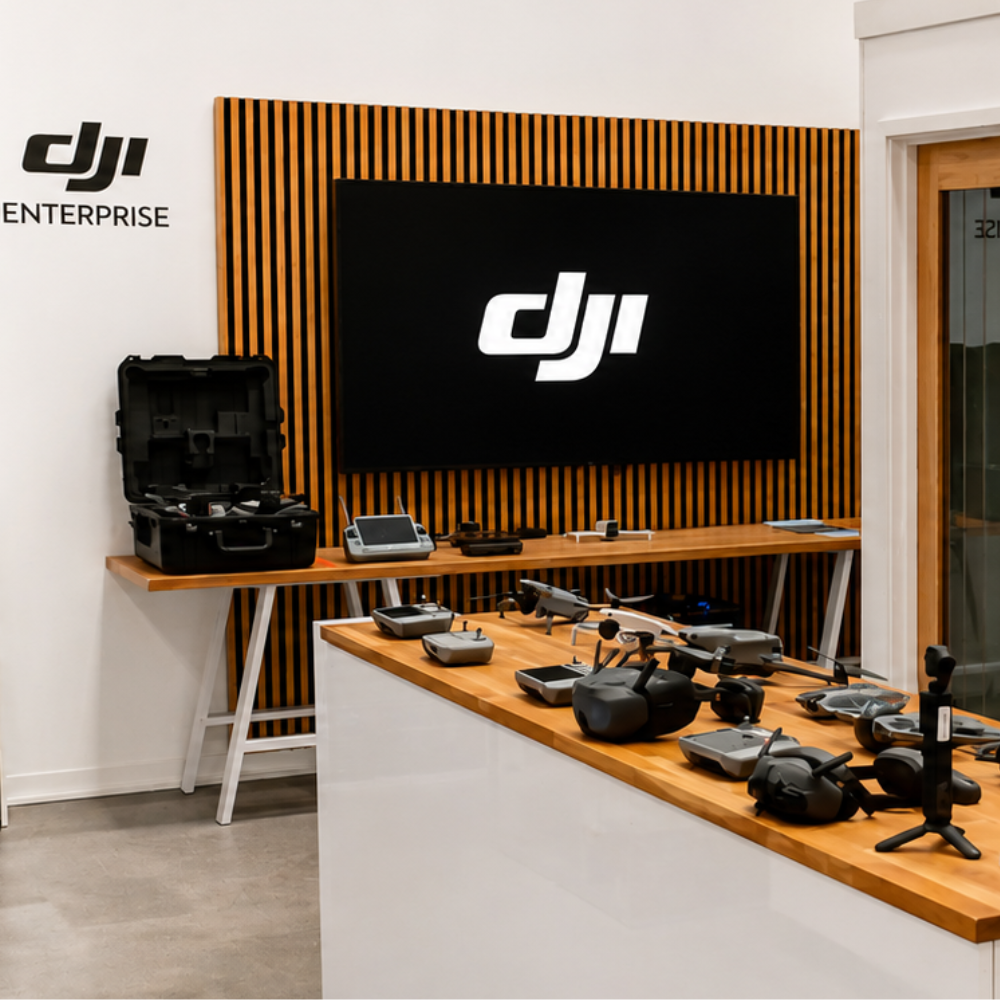
Get hands on with the Reach range at our Chichester showroom.
Genuine UK Stock
Held in the UK, so you are not waiting on import lead times for survey equipment you need on site.
Ongoing Support, Not Just a Sale
From NTRIP setup to firmware questions, our support continues after checkout.
Flexible Finance Options
Klarna for individual buyers, and iwocaPay for businesses spreading the cost of survey equipment.
Warranty You Can Rely On
A 12 month warranty as standard, plus our own extended warranty options.
Frequently Asked Questions
What is the difference between the Reach RS4 and RS4 Pro?
Both share the same GNSS and tilt compensation performance. The RS4 Pro adds dual Full HD cameras for AR stakeout and image based point measurement, useful where physical pole access to a point is restricted or unsafe.
Do I need a base station to use a Reach receiver?
No. Every current Reach receiver can connect to an existing NTRIP network for corrections, or be paired with a second Reach unit running as a base station on site.
Which Reach receiver is best for drone ground control points?
The Reach RS3 and RS4 are both well suited to GCP work, with the RS4 offering stronger performance under canopy or near reflective surfaces due to its wider GNSS band tracking.
Are Emlid receivers compatible with DJI drones?
Yes. Reach receivers are commonly used to establish accurate ground control points and base corrections for DJI Matrice 4 Series and DJI Matrice 400 mapping missions.
Can I get support setting up NTRIP or RTK corrections?
Yes, our team can talk you through initial setup and configuration for your specific network or workflow.
Drone Safe Store Showroom
Unit 1K, St James' Industrial Estate, Westhampnett Rd, Chichester PO19 7JU
Free parking directly outside, easy access from Chichester city centre and the train and bus station.
Opening Hours: Monday to Saturday, 9:00am to 5:30pm
Get In Touch
Not sure which Emlid receiver fits your surveying or mapping workflow? Our team is here to help.
Or visit us in person at our Chichester showroom, no appointment required.
Accreditation
 Armed Forces Covenant
Proudly supporting the Armed Forces community and veterans.
Armed Forces Covenant
Proudly supporting the Armed Forces community and veterans.
 ISO 9001 Certified
Certified quality management systems for consistent service and customer satisfaction.
ISO 9001 Certified
Certified quality management systems for consistent service and customer satisfaction.
 DJI Enterprise A Rank Retailer
DJI's highest level of authorised retail and technical expertise.
DJI Enterprise A Rank Retailer
DJI's highest level of authorised retail and technical expertise.
 D-U-N-S® Registered
Globally recognised business identity, verified for international trade. Number: 221162020
D-U-N-S® Registered
Globally recognised business identity, verified for international trade. Number: 221162020
 Financial Conduct Authority
Authorised and regulated by the FCA for consumer finance activities.
Financial Conduct Authority
Authorised and regulated by the FCA for consumer finance activities.
 YPO Approved Supplier
Approved on the YPO framework as a supplier for Drones & Associated Services to help the Public Sector
YPO Approved Supplier
Approved on the YPO framework as a supplier for Drones & Associated Services to help the Public Sector